Great Sand Dunes National Park & Preserve guide · 1 min read
Wandering the Trail-less 30-Square-Mile Dunefield
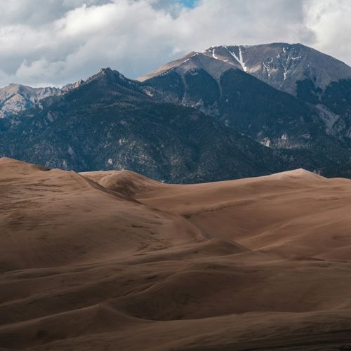
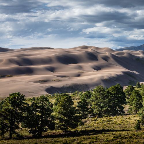
The dunefield covers 30 square miles and holds the tallest dunes in North America. With no trails across the sand, you can pick your own route anywhere you like.
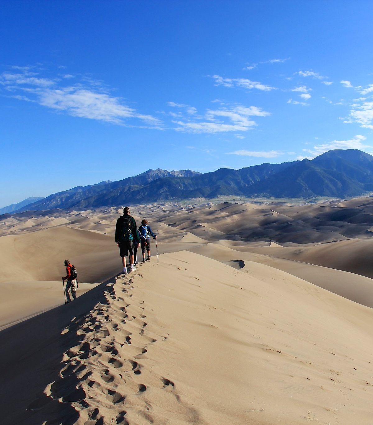
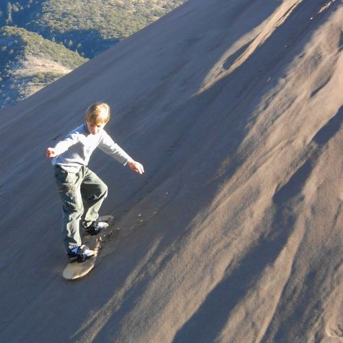
Plenty of people spend their time sledding or sandboarding down the slopes. Getting lost is unlikely for an adult, since the mountains, the entrance road and the visitor center stay in sight as landmarks.
Ridge crests usually give the firmest ground to walk on. Keep your eyes on the surface and you will spot wind-carved ripples, the tracks of animals and insects, and grains of sand in many different colors. High-top boots with long pants are the practical choice for footwear, since they keep grit out of your shoes. Open sandals are a poor pick because they rub against your feet.
A popular first goal is High Dune on First Ridge. Although it is neither the tallest nor the highest in elevation, it appears so from the main parking lot, and its summit offers a wide view over the whole dunefield. The route begins with a crossing of about half a mile of the Medano Creek bed, followed by a climb in zigzags along the ridgelines. A round trip usually takes about two hours over 2.5 miles, but it can stretch to four hours if you are not yet used to the thin air at this altitude.
Summer requires some planning. The sand surface can reach 150 degrees during the afternoon, and thunderstorms with lightning can build quickly, so early morning or evening is the safer window for hiking. Keep an eye out for insects too. Seven kinds live in the dunes and nowhere else, and they have adapted to cope with the harsh conditions.