Parka
Great Sand Dunes National Park & Preserve

Trails in Great Sand Dunes National Park & Preserve

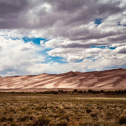
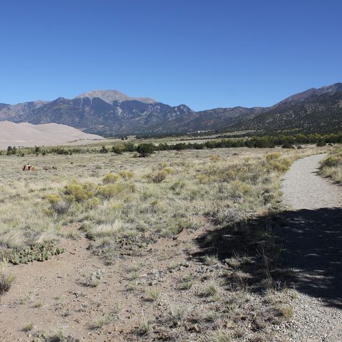
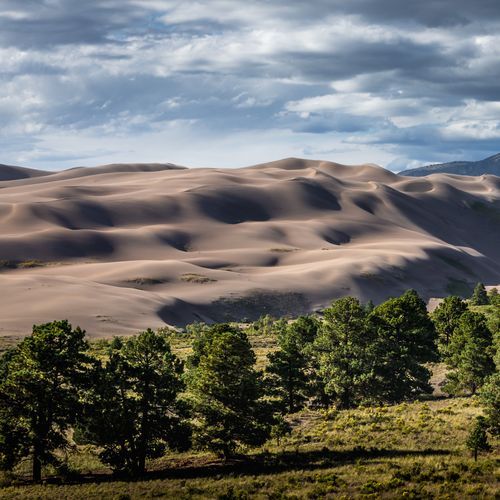
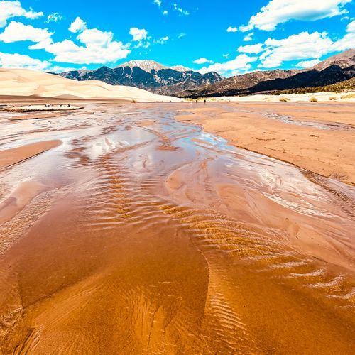
Hiking at Great Sand Dunes National Park and Preserve is unlike hiking anywhere else in the Rockies. The park’s signature experience is the vast, trail-free dunefield, where visitors choose their own route across 30 square miles of shifting sand beneath the Sangre de Cristo Mountains. Casual walkers can wander the lower dunes and explore rippled sand, wildlife tracks, and pockets of hardy vegetation, while ambitious hikers can climb High Dune on First Ridge, Star Dune, or Hidden Dune. These steep ascents are demanding rather than technical, with loose sand turning every step into a workout and panoramic views serving as the reward. Beyond the dunes, the preserve opens into a dramatically different hiking landscape of forests, mountain creeks, high meadows, alpine lakes, and rugged peaks. Routes such as Mosca Pass provide a more conventional trail experience, leading hikers through shaded woodland toward the Sangre de Cristo backcountry. Stronger, well-prepared hikers can use the preserve’s wilderness terrain for long day hikes and overnight backpacking trips, where off-trail travel adds a true sense of exploration. The range is broad: families can enjoy short dune rambles, fit hikers can tackle major sand climbs, and experienced backcountry travelers can disappear into high country wilderness. What makes hiking here special is the contrast. Few parks let you climb towering dunes in the morning, cool off beside a mountain creek in the afternoon, and look toward alpine ridgelines from a desert-like landscape. Sand hiking requires patience, sturdy footwear, and smart timing—early morning and evening are best in warm weather—but the freedom to roam is the essential appeal. Great Sand Dunes rewards hikers not with a neatly prescribed path, but with an unforgettable landscape that invites them to make their own.

Dunes Overlook Trail

Dunes Overlook Trail

0.9 mi320 ft gain

From the Sand Ramp and campground loop, this short trail leads to a viewpoint over the dunefield, where the wide sweep of sand is the main draw. It suits visitors who want big views without a long outing. Piñon Flats Campground is a short stroll away, which makes it a convenient stop before or after a night camping nearby. Morning or evening is the cooler time to walk, since afternoon sand can get very hot.
Sand Ramp Trail

Sand Ramp Trail

9.2 mi2,760 ft gain

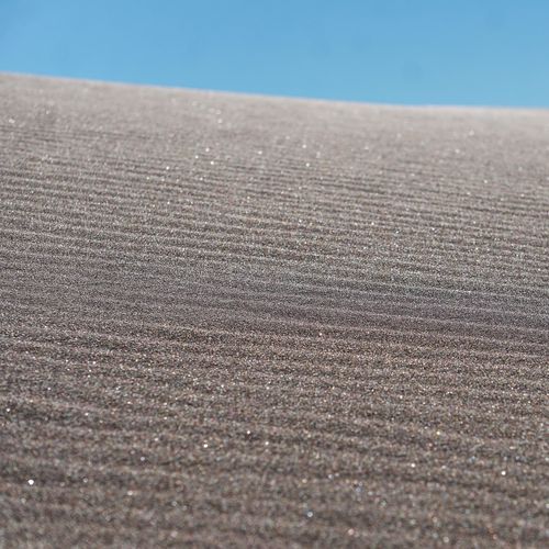
This trail runs along the base of the Sangre de Cristo foothills, so it works more as a route than a lookout. Most hikers use it to reach backpacking sites like Aspen, Cold Creek and Sand Creek, the last set in a cottonwood grove at the edge of the dunes. Mosca Pass Outpost and Piñon Flats Campground are within walking distance for a meal or a place to stay.

Dunes Access from Campground Trail

Dunes Access from Campground Trail

0.5 mi150 ft gain

This route starts near Piñon Flats Campground and leads you out onto the open sand of the dunefield, where the dune ridges rise directly ahead. Expect soft, shifting footing rather than a packed path, and bring high-top boots and long pants to keep sand out of your shoes. The sand can reach roughly 150 degrees F on summer afternoons, so early morning or evening is the more comfortable time to walk here.

Dunes Access from Visitor Center Trail

Dunes Access from Visitor Center Trail

0.4 mi94 ft gain

This route runs from the visitor center toward the edge of the 30 square mile dunefield, where the sand meets Medano Creek. When water flows in the creek, it surges in small rolling waves that draw splashing kids and adults alike. The sand can get hot enough to burn bare feet in the afternoon, so closed-toe shoes and an early or evening visit are wise. Balloon-tire wheelchairs are free to borrow at the visitor center for anyone who needs one.

Interpretive Loop Trail

Interpretive Loop Trail

0.3 mi53 ft gainLoop

Loop just steps from the visitor center, amphitheatre and campground

Sand Pit Trail

Sand Pit Trail

0.5 mi200 ft gain

This route on the Eastern Dune Ridge starts at the Point of No Return, or a high-clearance 4WD vehicle can drive you to its picnic area. Medano Creek runs nearby and usually flows gently through the fall, with dunes rising above it. Midday sand can exceed 150 degrees, so plan to walk the dunes in the morning or evening and watch for afternoon thunderstorms.

Wellington Ditch Trail

Wellington Ditch Trail

1.1 mi160 ft gain

This path links the park's visitor center with Piñon Flats Campground, making it a handy connector for anyone moving between the main hub and a campsite. Horseback riding is not permitted on the route. The Amphitheatre is also a short walk away, so it's convenient to pair with a visit to the dunes.

Length is the full route as drawn on the Parka map, so out-and-back trails count both directions. Gain is the total ascent over that route.

Get offline trail maps and detailed hiking info in the Parka app

Download Parka — It's Free

Get offline trail maps for Great Sand Dunes National Park & Preserve

Free on the App Store

Get Parka

Why Park Lovers Choose Parka

Trip Planner

All the tools for epic adventures

Works Offline

Fully functional without cell service

Updated Weekly

Trail conditions, alerts, and closures

Try Risk-Free

7-day free trial, cancel anytime

Start Your 7-Day Free Trial

Unlock everything you need for your next national park trip. Your first week is on us!

National Park vista

Start your adventure today

Download Parka and plan your perfect national park trip in minutes.

Explore All 63 National Parks

Browse parks by region and discover your next adventure