
Great Smoky Mountains National Park hiking guide
Alum Cave Trail
A 4.4-mile out-and-back with 1,170 ft of climbing in Roaring Fork, rated moderate.
Key facts
- Length
- 4.4 mi (7.1 km)
- Elevation gain
- 1,170 ft (358 m)
- Route type
- Out and back
- Difficulty
- Moderate
- Area
- Roaring Fork
- Highest point
- 5,123 ft
- Lowest point
- 3,848 ft
About Alum Cave Trail
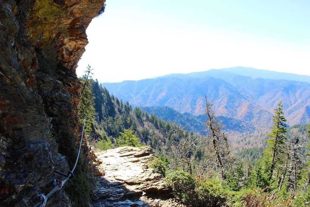
This trail offers a mix of geological formations, historical significance, and breathtaking views. Hikers pass under Arch Rock, a natural arch formed by erosion, and ascend to Inspiration Point for commanding views. The trail continues to Alum Cave Bluffs, a concaved bluff with stunning icicle formations in winter, before reaching the summit of Mt. LeConte.
Route map
This route was checked by Parka editors.
