
Great Smoky Mountains National Park hiking guide
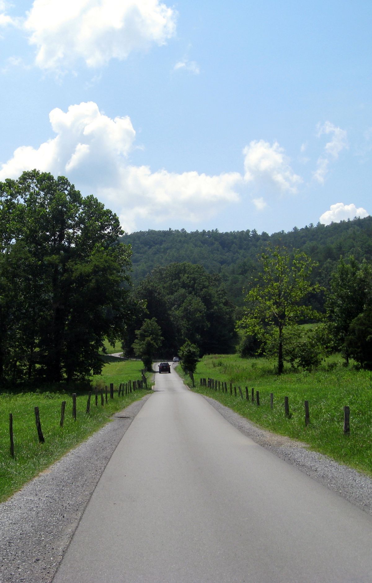
Cades Cove Loop Road
A 10.5-mile trail with 1,630 ft of climbing in Cades Cove, rated easy.
Key facts
- Length
- 10.5 mi (16.9 km)
- Elevation gain
- 1,630 ft (496 m)
- Difficulty
- Easy
- Area
- Cades Cove
About Cades Cove Loop Road
Surrounded by majestic mountains, this scenic drive winds through a valley filled with historic structures, including log cabins, churches, and a working grist mill. The area is renowned for its diverse wildlife, offering frequent sightings of white-tailed deer, wild turkeys, and black bears. Scenic overlooks provide stunning views of the surrounding landscape, while historic sites offer a glimpse into the lives of early settlers. Visitors can explore these sites, enjoy wildlife viewing, and take in the natural beauty of the area.
