
Guadalupe Mountains National Park hiking guide
Guadalupe Peak Trail
An 8.3-mile out-and-back with 2,910 ft of climbing in Pine Springs, rated difficult.
Key facts
- Length
- 8.3 mi (13.4 km)
- Elevation gain
- 2,910 ft (887 m)
- Route type
- Out and back
- Difficulty
- Difficult
- Area
- Pine Springs
- Highest point
- 8,736 ft
- Lowest point
- 5,844 ft
- Trip length
- Multi-day
About Guadalupe Peak Trail
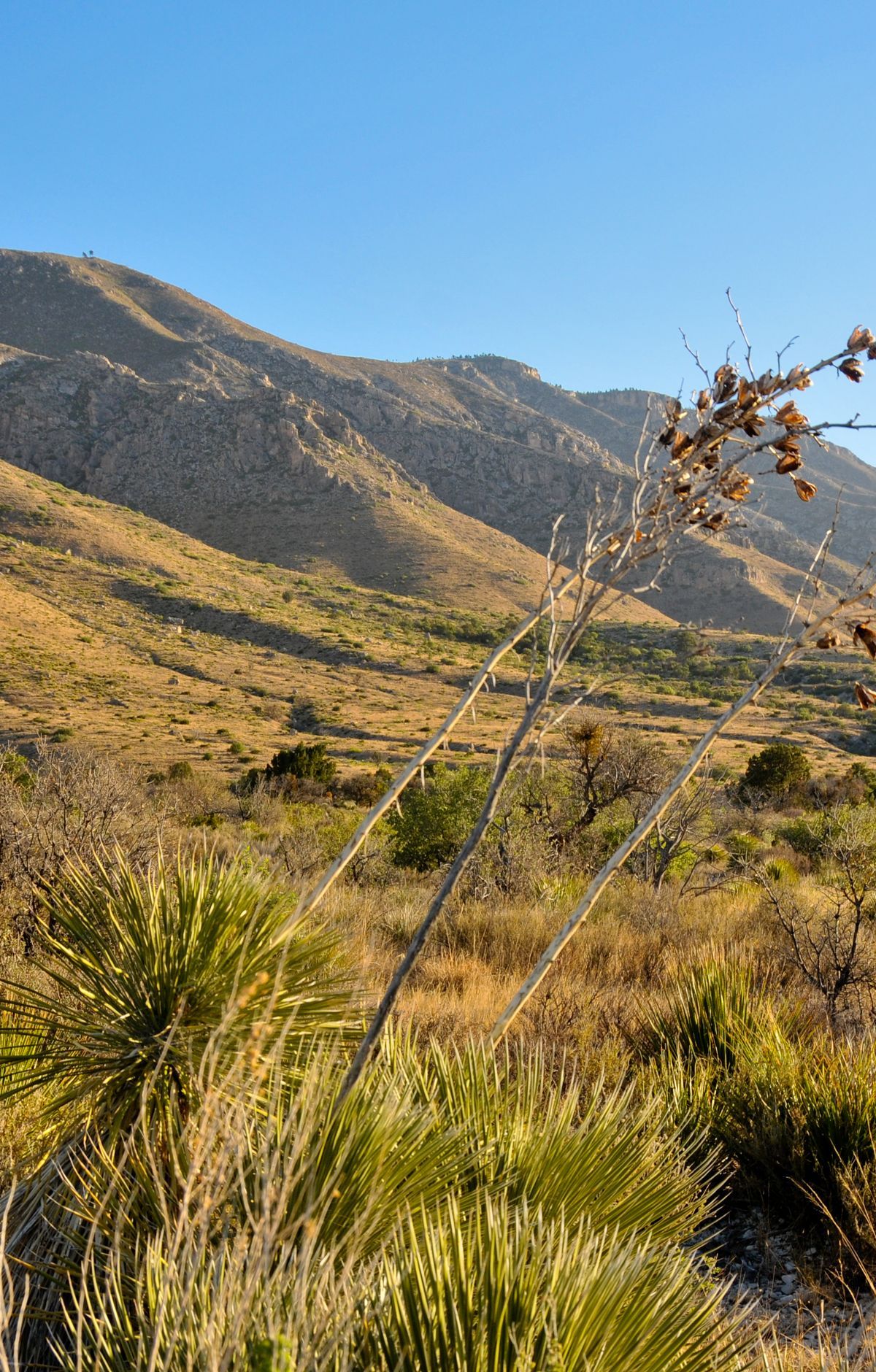
Ascend through a dramatic landscape of limestone formations, reaching the highest natural point in Texas. The trail features a significant elevation gain, offering stunning vistas and a unique geological experience. The summit is marked by a stainless steel pyramid, commemorating the Butterfield Overland Mail route.
Route map
This route was checked by Parka editors.
