Haleakalā National Park guide · 1 min read
Ahupuaʻa: Sea-to-Summit Lands of Kīpahulu
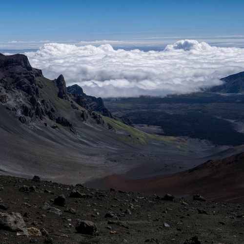
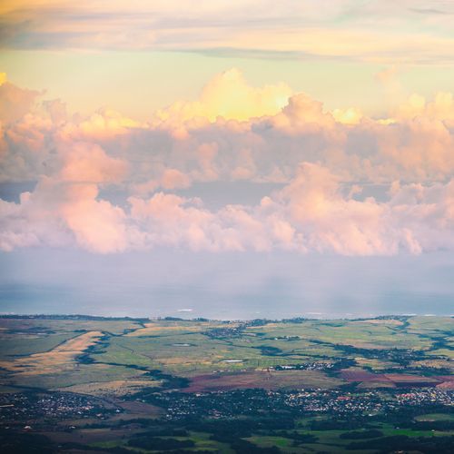
Haleakalā's summit reaches 10,023 feet, and the park's land slopes down the mountain's southeastern side until it meets the sea near Hāna.
The landscape shifts a great deal between the two ends, but no road links them, so visiting each one takes a separate trip.
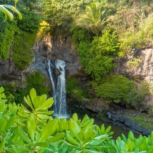
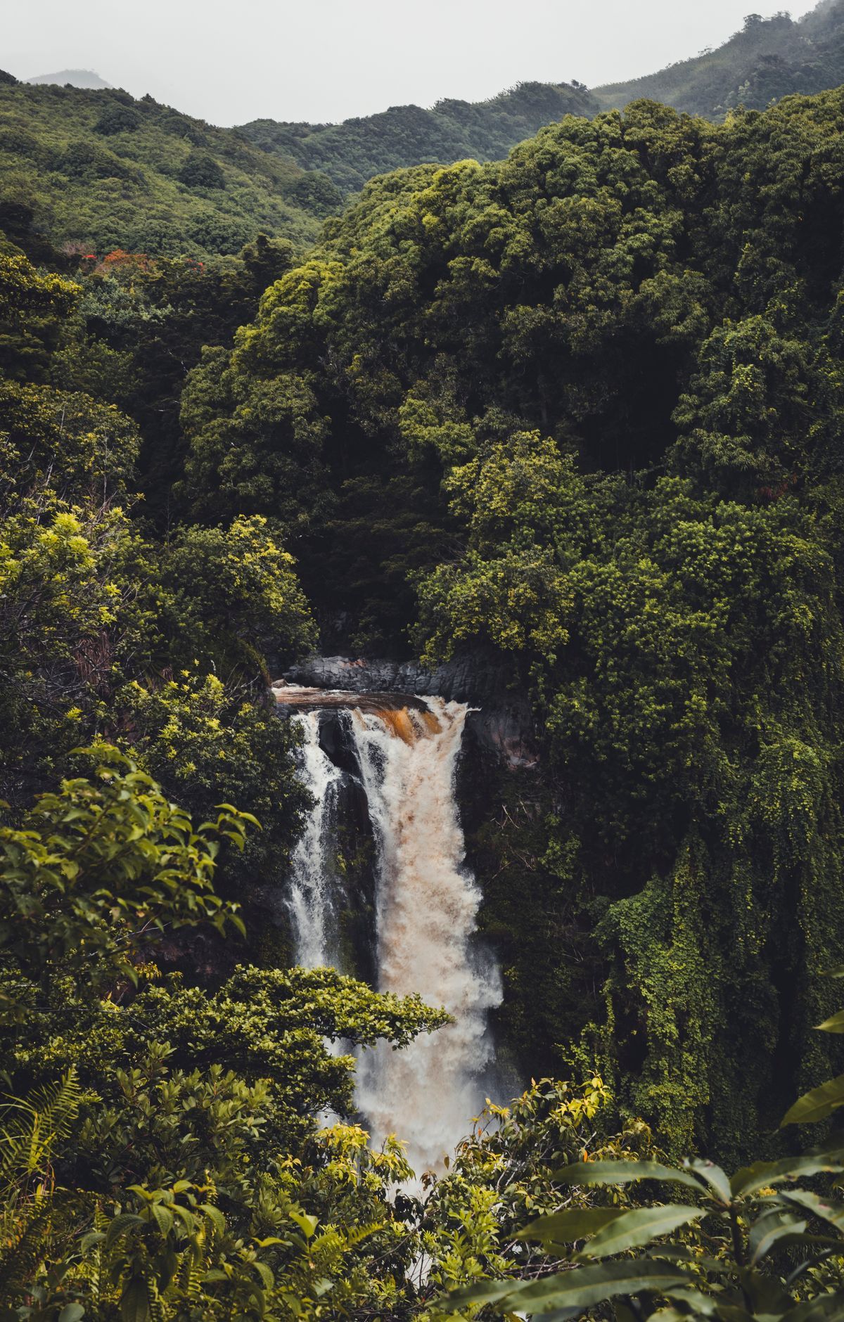
The Kīpahulu District is on the windward side of the island, 12 miles past the town of Hāna along the road that rounds the northeast coast. People have lived on this shore for hundreds of years, and their culture remains a vital part of the area today. Along the way, visitors encounter waterfalls, broad ocean outlooks, and chances to experience Hawaiian culture.
Staff at the Kīpahulu Visitor Center can tell you which cultural demonstrations and scheduled orientations are offered during your visit. Park programs teach visitors about the people who lived in this place, how they got by, and the culture they built. In some cases, guests can take part in these programs themselves.
The upper valley is the Kīpahulu Valley Biological Reserve, where visitors cannot go because the fragile rain forest there is protected for its native plants and animals. Below it, ʻOheʻo Gulch holds more than two dozen pools along Palikea Stream, and some of these waters are home to rare native freshwater fish. Some visitors swim in the cool lower pools near the ocean, but the stream can change quickly, and flash floods have caused injuries and deaths, so heed every caution sign.
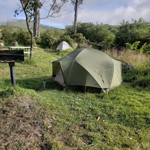
Many visitors hike the Pipiwai Trail, a two-mile route that climbs uphill beside the stream to the base of Waimoku Falls. Kīpahulu Campground is on the right just past the district entrance station, and a road of about three tenths of a mile leads from there to the campground loop.