Haleakalā National Park guide · 1 min read
Two Unconnected Districts: Planning the Drive
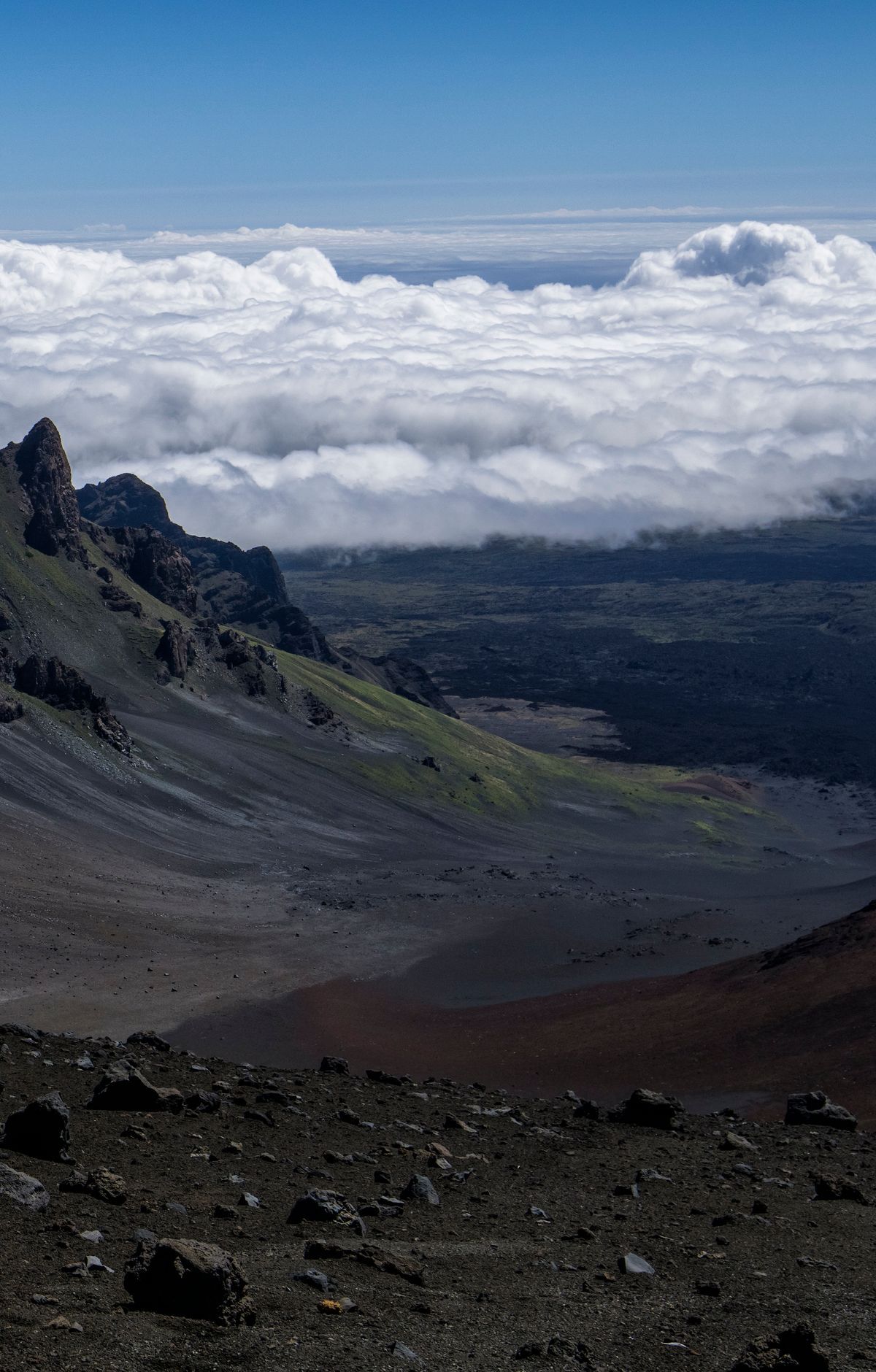
Two separate districts make up the park, and no road joins them. The Summit District sits at the top of the mountain, at 10,023 feet, while the Kīpahulu District stretches down the southeast side to the coast near Hāna.
Because you cannot drive between them inside the park, each visit needs its own route. Both districts are reached from Kahului.
Plan on a long drive. From Kahului, the Summit District is about two and a half hours away by way of Route 37, 377 and 378. The Kīpahulu District takes around four hours, using Route 36, 360 and 31. Build extra time into your day for these routes.
The roads are remote and winding, and some sections are steep. The route to Kīpahulu follows the Hāna Highway. Drive with care: obey posted signs, use established pull outs, and if a line of vehicles forms behind you, stop at the nearest designated pull out so they can pass. Use headlights in clouds, rain or low visibility. In the Kīpahulu District, obey the blow horn signs. When descending the mountain, shift into a low gear.
Fuel and charging need planning. There are no gas stations inside the park. On the way to the Summit District, the last place to buy gas is Pukalani. On the Hāna Highway toward Hāna, the last gas stop before Hāna is in Pāʻia. The park also has no electric vehicle charging stations, and a fully charged electric vehicle has not been able to reach the summit.
No public transportation reaches either district, so there is no bus or shuttle to rely on. Most visitors drive, some ride bicycles, a few walk, and others join authorized commercial tours that arrive by motorcoach or minibus.