Mesa Verde National Park guide · 2 min read
The 21-Mile Climb to Chapin Mesa
Most visits to Mesa Verde begin at the Visitor and Research Center, which sits just off Highway 160 near the park entrance.
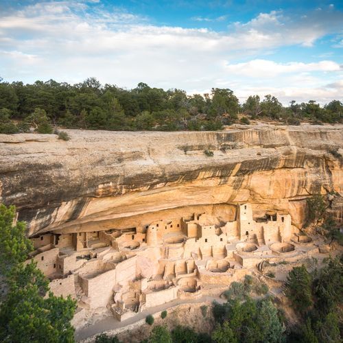
Staff there help visitors plan, and the exhibits trace Ancestral Pueblo daily life and culture. This is also the place to buy tickets for guided tours of Cliff Palace, Balcony House, and Long House on Wetherill Mesa. Self-guided tour brochures for Mesa Top Road and Far View Sites are sold here as well.
The road climbs roughly 21 miles from the entrance to Chapin Mesa, a drive of about 45 minutes on a steep route that bends often and narrows in places. Keep an eye out for animals near the roadway and for loose stones on the pavement. At Far View Lodge, the road forks. Staying on Mesa Top Ruins Road leads to the largest group of sites, while turning right heads toward Wetherill Mesa.
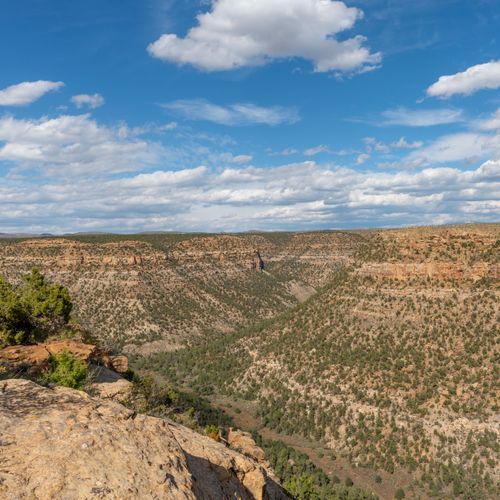
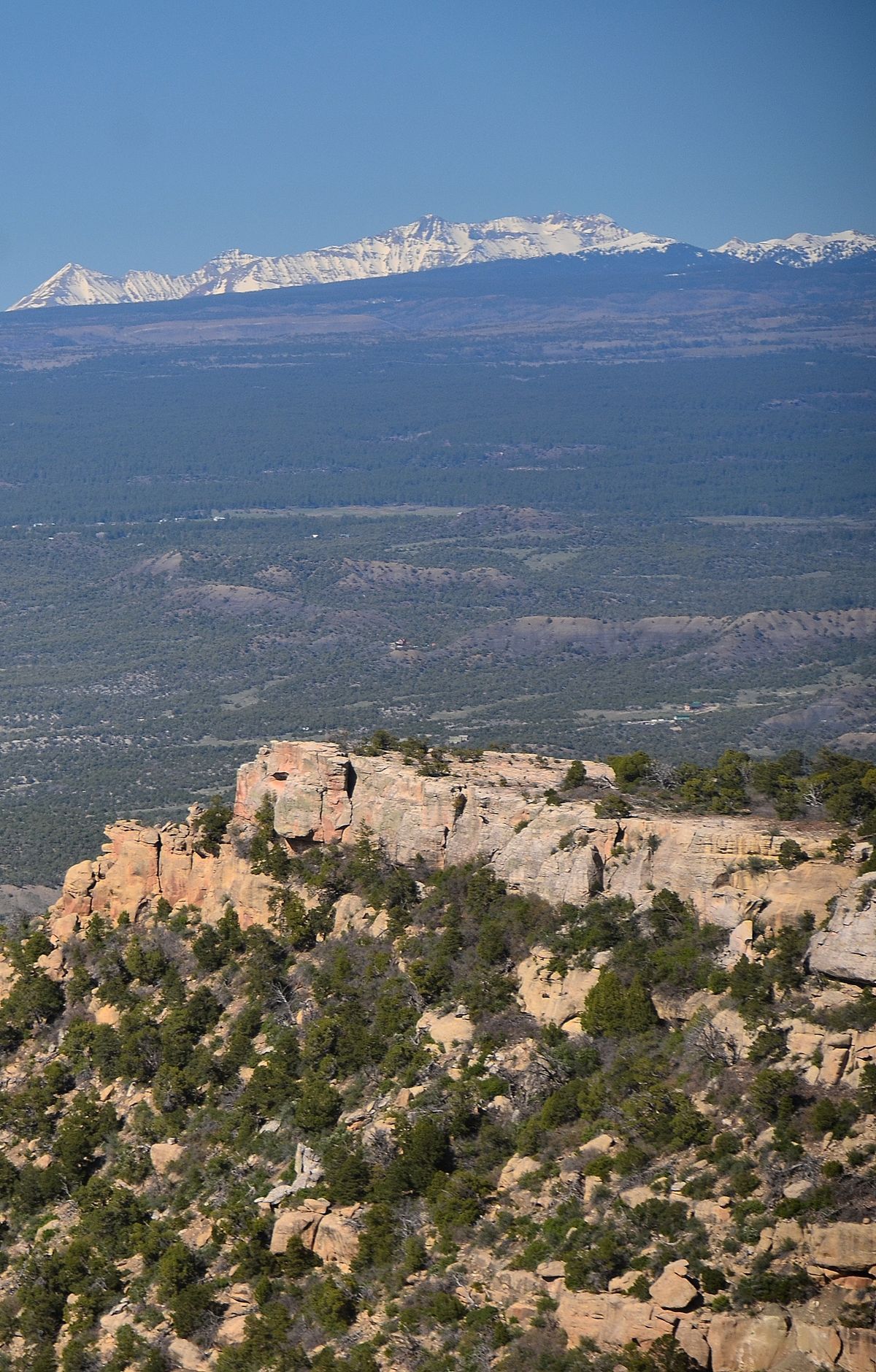
Pull-offs and overlooks line the route, and from several of them you can see into four states. Park Point Overlook sits at 8,572 feet, the highest spot on the main park road, and a short walk from its parking lot leads to the viewing area and wayside exhibits on local geology. On a clear day the view reaches New Mexico, Utah, and Arizona. When faster vehicles come up behind you, pull over at a turnout so they can go by.
The Chapin Mesa Historic District holds much of the park's early service architecture, many of its buildings dating to the 1920s. Park headquarters, the Spruce Tree Terrace restaurant, a post office, and a picnic area are also found there. The Chapin Mesa Archeological Museum, also known as the Mesa Verde Museum, displays artifacts from the region and dioramas showing how people lived here centuries ago. Restrooms, drinking water, a cafe, a gift shop, and a museum store are all within easy reach.