North Cascades National Park guide · 2 min read
Skagit, Nooksack and Upper Stehekin Peoples
Human history in North Cascades National Park begins 8,000 to 10,000 years ago, after the last glacial period ended.
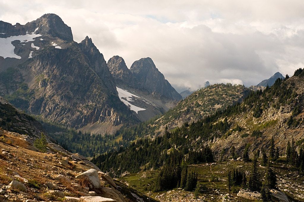
Paleo-Indians slowly moved from Puget Sound into the interior mountains as the ice retreated, and archaeological evidence across the region reflects this long presence.
One of the most important materials used here was Hozomeen chert, a rock well suited to making tools. People quarried the stone near Hozomeen Mountain, just past the park's eastern boundary, and kept doing so for 8,400 years. Microblades and other tools made from it have been found across the Skagit River Valley, west of the park and farther east.
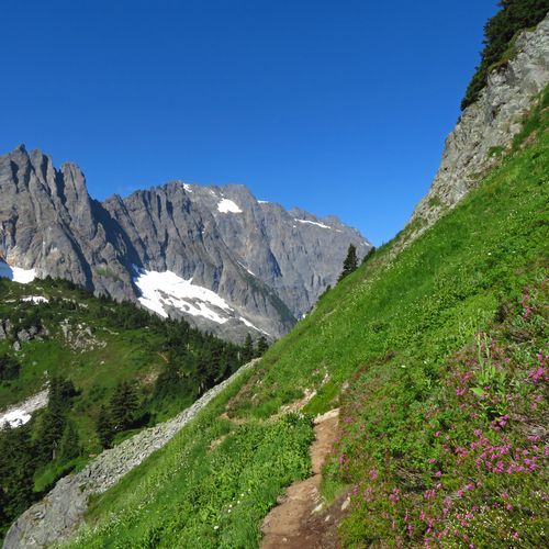
Cascade Pass offers a route from the western lowlands into the park's interior and the Stehekin River Valley. Microblades dating to about 9,600 years ago have turned up at the pass, showing travelers crossed into the mountains almost 10,000 years back. The finds at the site span five separate cultural periods.
Among the rivers feeding Puget Sound, the Skagit has the biggest watershed. It starts in Canada and runs west across the middle of the park complex. Three dams stand along its course, yet the river still hosts five kinds of Pacific salmon and two sea-going trout. The Nooksack starts near Mount Shuksan and heads west past Mount Baker. The Stehekin River, meanwhile, runs from the park's southeast corner into Lake Chelan.
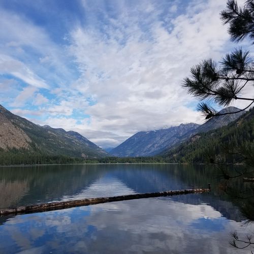
Stehekin lies at the lake's northwest end. Lake Chelan, carved by glaciers, is 1,500 feet deep and ranks third among natural lakes in the country. Because no road reaches the community, people arrive on foot, by boat, or by plane. A shuttle travels the 10-mile Stehekin Valley Road, linking the ferry dock with High Bridge. Rafters and kayakers run the Skagit and the Stehekin, including about 9 miles of the Skagit from Goodell Creek Campground to the Copper Creek take-out, which has class II to class III rapids.