Rocky Mountain National Park guide · 1 min read
Ute Trail: Ancient Path Over the Divide
Long before Trail Ridge Road crossed these heights, people were walking over them. Paleo-Indians followed a route near the line of today's road to hunt and gather food, and later the Ute and Arapaho hunted and camped across this high country.
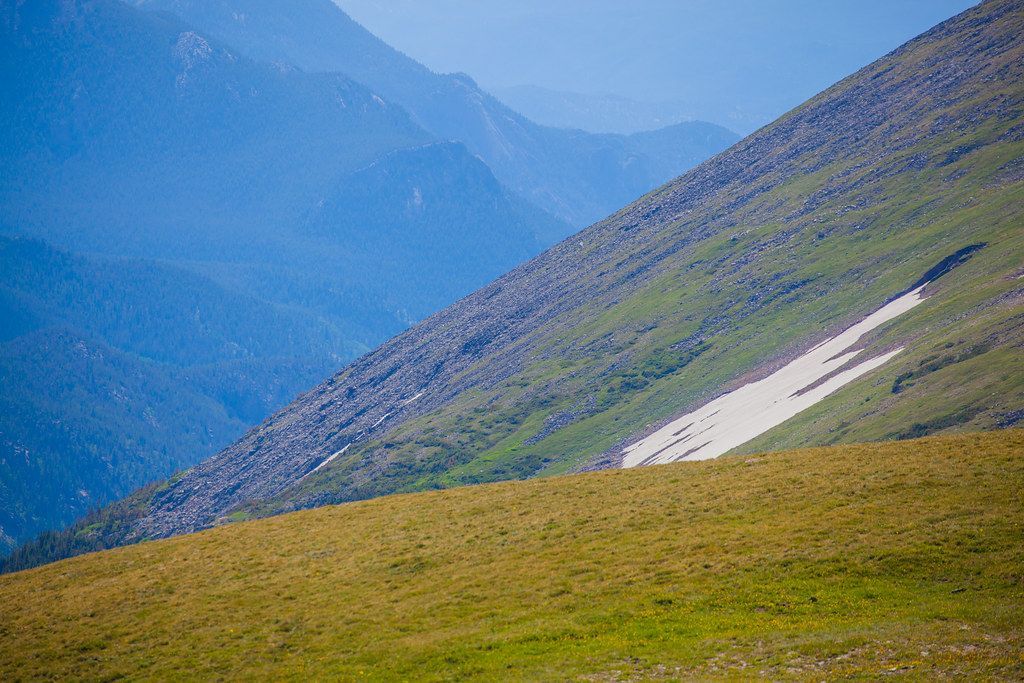
A walk on the Ute Trail puts you on that same high ground.
A short, easy hike follows the Ute Trail from the Ute Trailhead on Trail Ridge Road, about 7 miles east of the Alpine Visitor Center, out to Tombstone Ridge. The full hike covers 4 miles and usually takes between an hour and a half and three hours. It is rated easy to moderate, and families with kids do well here because there is no need to reach the end. The views begin with your first steps, so you can turn back whenever you like.
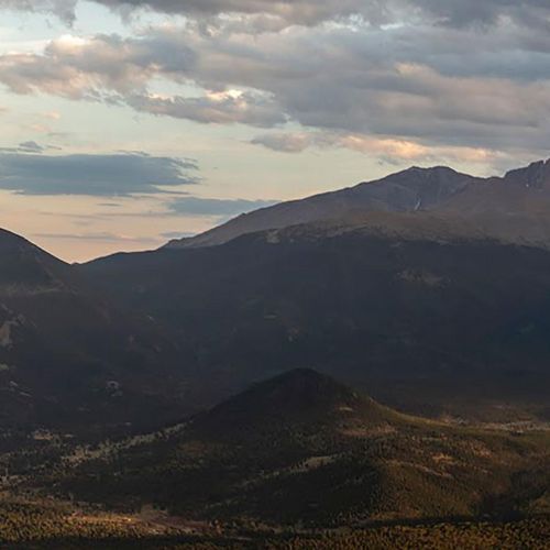
The entire walk stays on open alpine tundra, with nothing above you but sky. Longs Peak, which reaches 14,259 feet, stands in full view, along with Forest Canyon. The ground up here stays cold through the year and only the hardiest plants survive, so keep to the trail and leave the fragile tundra undisturbed.
The views also take in the Continental Divide, which runs north to south through the middle of the park. Rain that falls on its western side drains toward the Pacific Ocean, while water on the eastern side heads for the Atlantic. Milner Pass is one of the named points along the Divide within the park.
The Ute Trail fits easily into a drive over Trail Ridge Road. Even a short walk out and back gives a sense of the open high country where people hunted and traveled long before the road was built.