Saguaro National Park guide · 1 min read
Arizona Trail Across the Rincon District
The Arizona National Scenic Trail stretches about 800 miles through the state, starting at the border with Mexico in the south and ending at the Utah border in the north.
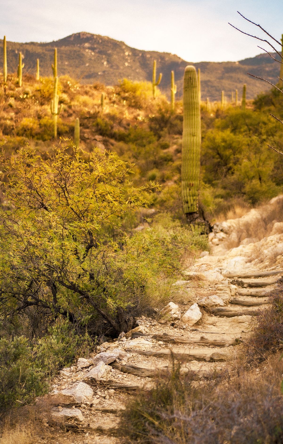
Congress gave it the National Scenic Trail designation in 2009. About 17 miles of its Section 9 run through Saguaro National Park, and inside the Rincon Mountain District the route cuts at an angle from the southwest corner to the northeast.
The Rincon Mountain District sits about 10 miles east of Tucson. Its 8.3-mile Cactus Forest Loop Drive provides a route to some of the trails. If you start at the Loma Alta trailhead and hike in, you will reach the Arizona and Quilter trails about 2.5 miles along, on your left. The Quilter Trail measures 4.8 miles and finishes at a junction at middle elevation within the Saguaro Wilderness Area.
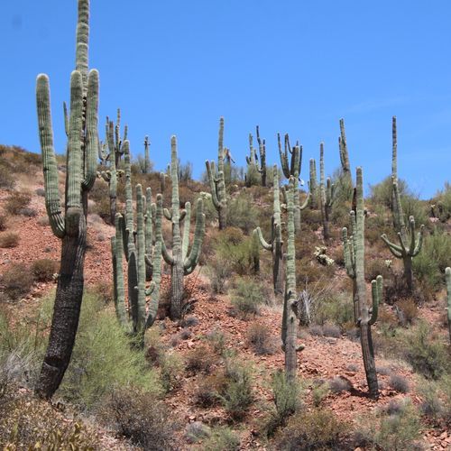
Cyclists can ride the Cactus Forest Loop Drive and two other trails in the park. To enter on two wheels, they start at the east end of the Hope Camp Trail, but bikes are barred from wilderness, so they must keep heading west and leave the park at Camino Loma Alta. Congress designated the Saguaro Wilderness Area in 1976, a roadless mountain range that climbs from desert scrub dotted with cacti to pine-covered slopes.
Six designated campgrounds sit inside the wilderness area, and vehicles cannot get to any of them, so every camper walks in. Each site holds up to six people, and a group can total as many as 18. Manning Camp has six sites at 7,920 feet, while Grass Shack sits at 5,200 feet, roughly 10 miles from the Loma Alta and Hope Camp trailhead. Campers secure a spot through the recreation.gov website.