Shenandoah National Park guide · 2 min read
Driving Skyline Drive's 105 Miles
Skyline Drive is the only public road through Shenandoah National Park, running 105 miles north to south along the crest of the Blue Ridge Mountains.
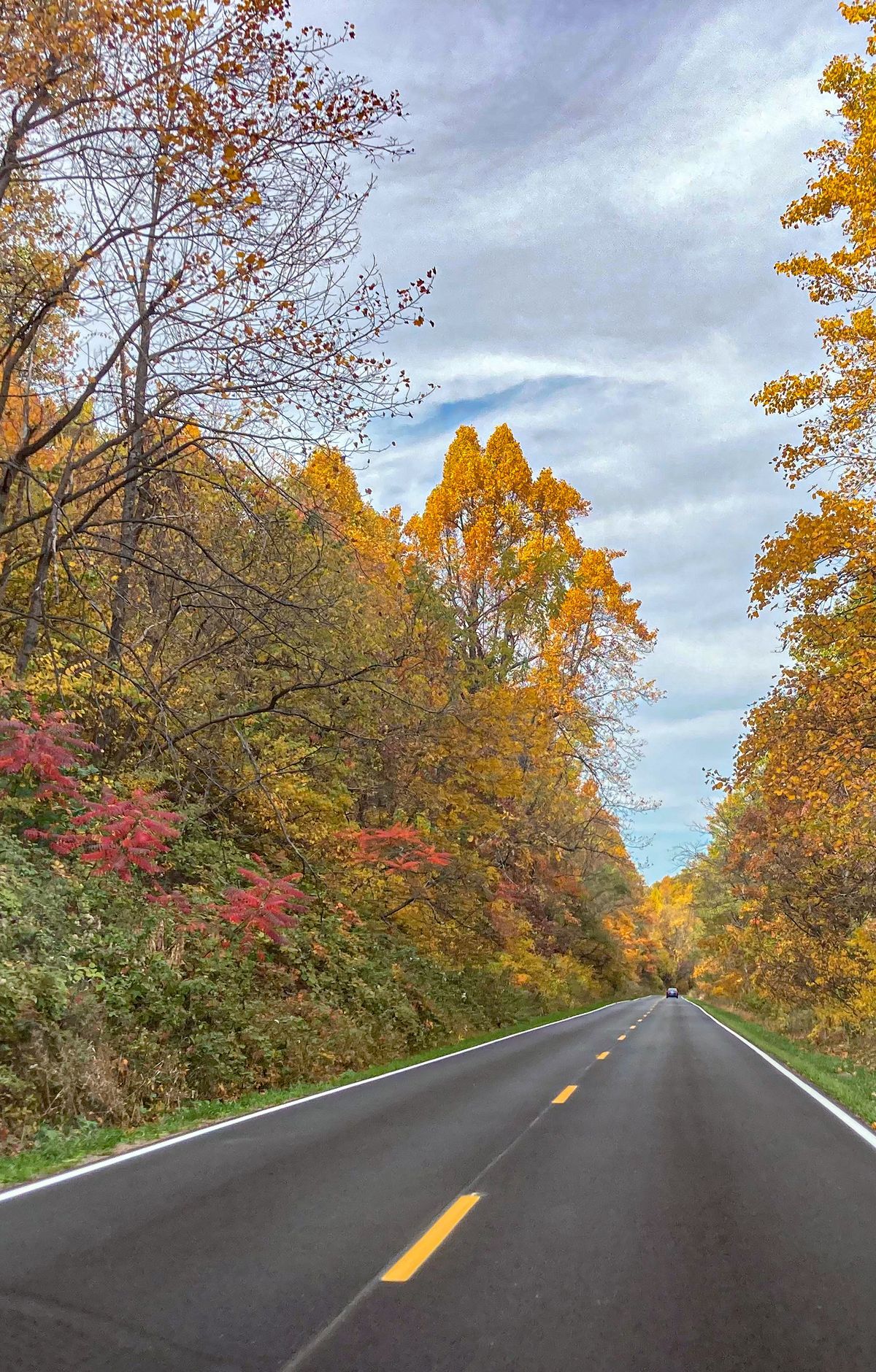
Campgrounds, lodging and dining sit right off it. Driving the full length takes about three hours on a clear day, but overlooks and a few short hikes can stretch the trip to a full day.
You can enter the park at four entrance stations. The Front Royal entrance sits at the northern end, Thornton Gap is near Luray on Route 211, Swift Run Gap is near Elkton on Route 33, and the Waynesboro entrance at Rockfish Gap is the southern one. Gated service roads along the boundary are not open to the public, so these stations are the way in. GPS can be unreliable, so follow directions to one of these stations rather than relying on a navigation app alone.
Concrete mileposts stand along the west side of the road, starting at zero at Front Royal and reaching 105 at the southern end. The speed limit is 35 miles per hour in most places, and deer, black bears, and wild turkeys regularly cross the road, so keep a close watch. If you want to stop for wildlife, pull all four wheels completely off the pavement and stay in your vehicle.
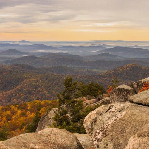
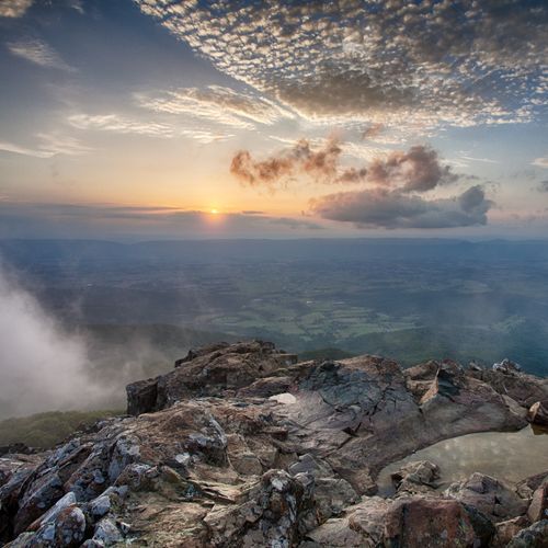
Seventy-five overlooks line the drive, giving you places to pull off and take in the views along the ridgeline. Many of the best overlooks and trails lie between Thornton Gap and Swift Run Gap, where the mountains are at their highest. Big Meadows, the largest developed area in the park, sits near milepost 51.
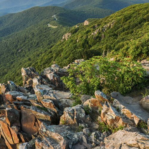
Most hiking trailheads sit directly off the drive, and the park has more than 500 miles of trails in all. A few hikes begin at the park boundary instead, such as Old Rag Mountain and Whiteoak Canyon. At the southern end, Rockfish Gap connects to the Blue Ridge Parkway, so the scenic route can continue south.