Theodore Roosevelt National Park guide · 2 min read
Layered Clay and Volcanic Ash Badlands
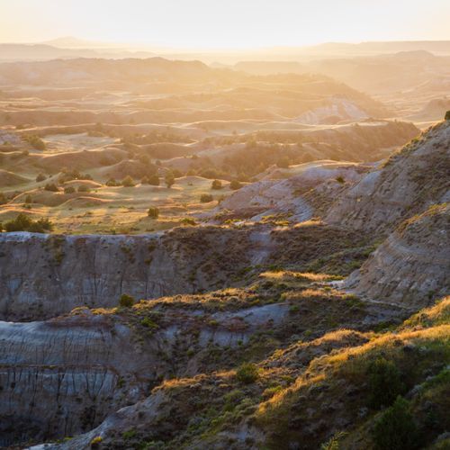
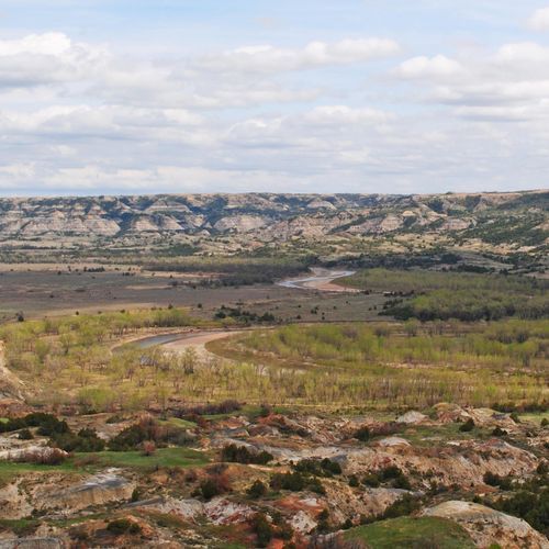
The badlands of southwestern North Dakota were shaped by erosion over millions of years, and that erosion is still at work today.
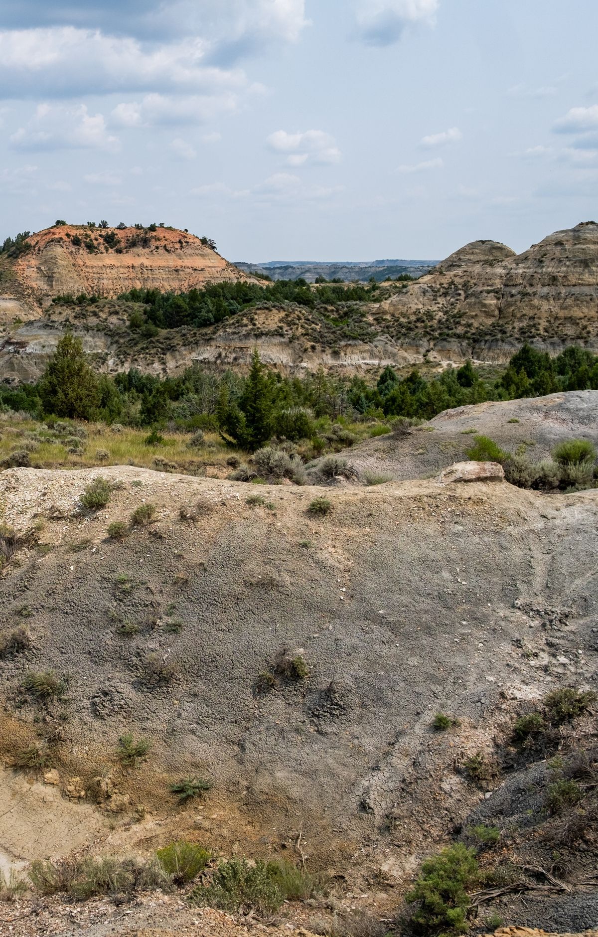
Walking here means crossing ground that keeps changing.
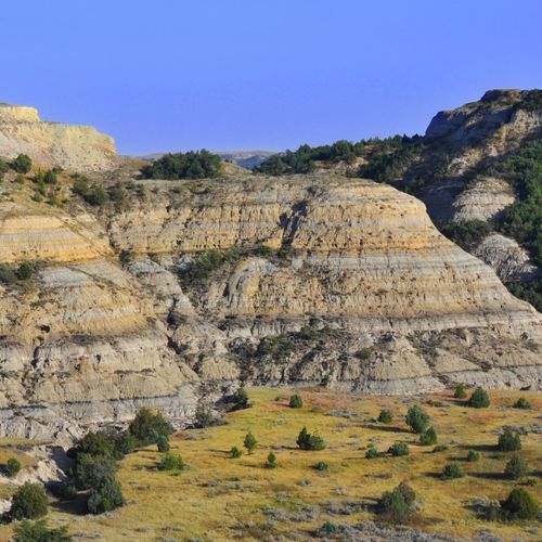
Much of the shape comes from differential erosion. Thin rust-red layers of iron-rich sandstone resist wear better than the soft gray sediment around them, so they erode at a slower pace. These hard bands form ledges over softer rock, and this process is the main force shaping the badlands.
You will notice bentonite across much of the badlands, a blue-gray clay that came from ancient volcanic ash. It can soak up several times its own volume in water. Once heavy rain or melting snow saturates it, the clay swells and flows down hillsides, and trails may remain slick for days afterward. It also clings to footwear and cuts your traction. Some trails are nearly impassable when wet, so after a storm go slowly and check with a ranger.
The Caprock Coulee Nature Trail uses numbered stops to explain the landscape. At one stop, a thin black band of lignite runs along the slope. Plant matter buried long ago was squeezed and baked underground until it became coal, and nearby fossils hint at a lush, swampy past. Another stop compares the two sides of a butte: cool, damp north-facing slopes hold juniper, while hotter, drier south-facing slopes host plants suited to desert conditions.
Trails here include both paved walkways and remote backcountry routes. Watch where you place your feet, since sinkholes and ravines can stay hidden until you reach their edge. If a bison or horse heads your way on the trail, leave the path and keep a distance of at least 25 yards. Scenic drives often reveal bison, prairie dogs and deer. The Petrified Forest shows trees that were turned to stone long ago.