
Yellowstone National Park hiking guide
Chittenden Road - Mount Washburn Trail
A 5.7-mile out-and-back with 1,510 ft of climbing in Hayden Valley, rated moderate.
Key facts
- Length
- 5.7 mi (9.2 km)
- Elevation gain
- 1,510 ft (459 m)
- Route type
- Out and back
- Difficulty
- Moderate
- Area
- Hayden Valley
- Highest point
- 10,250 ft
- Lowest point
- 8,744 ft
About Chittenden Road - Mount Washburn Trail
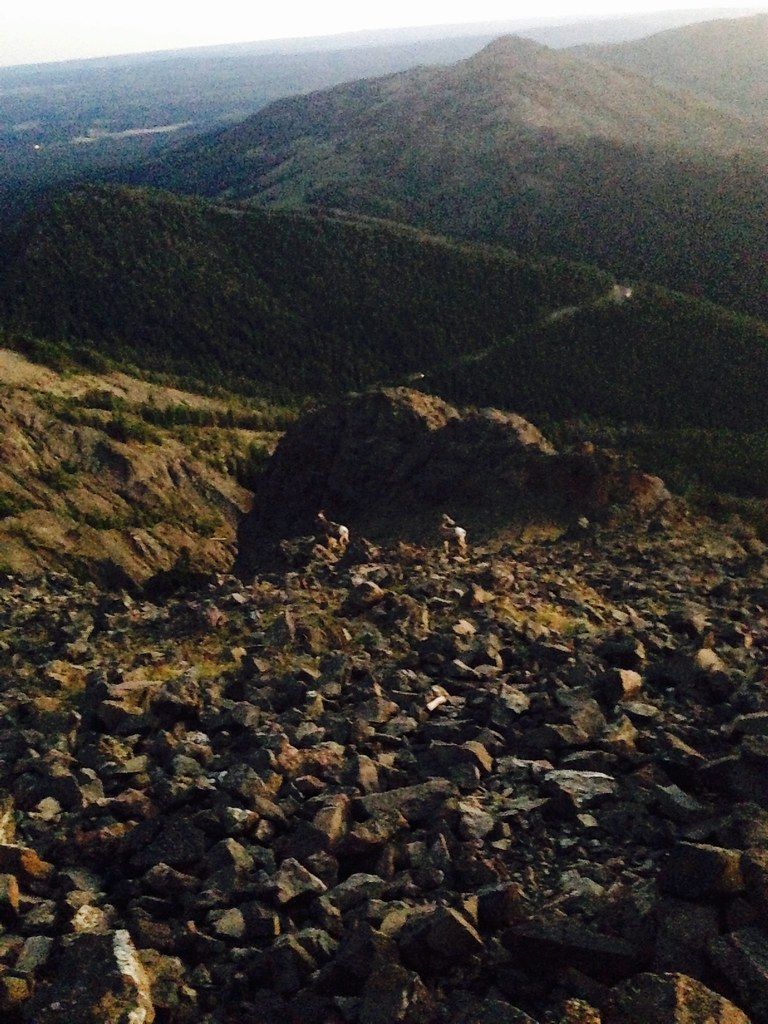
Climb a gradual, gravel road offering expansive views of surrounding hillsides, valleys, and grasslands. The route shares the path with service vehicles and bicyclists, providing opportunities to spot bighorn sheep and enjoy wildflowers. At the summit, a fire lookout tower offers shelter from wind and panoramic views of the surrounding landscape. The area is rich in alpine vegetation, but visitors must be mindful of fragile ecosystems and potential wildlife encounters.
Route map
This route was checked by Parka editors.
