
Zion National Park hiking guide
West Rim Trail
A 14.6-mile point-to-point with 1,440 ft of climbing in Zion Wilderness, rated difficult.
Key facts
- Length
- 14.6 mi (23.5 km)
- Elevation gain
- 1,440 ft (439 m)
- Route type
- Point to point
- Difficulty
- Difficult
- Area
- Zion Wilderness
- Trip length
- Multi-day
About West Rim Trail
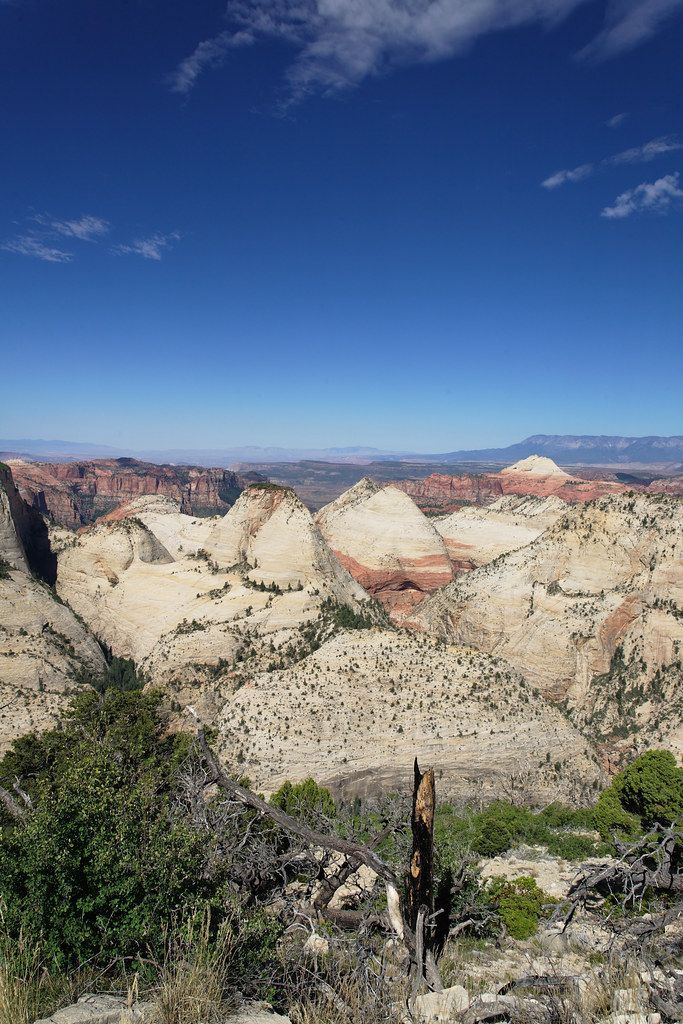
The West Rim Trail offers breathtaking, sweeping views of Zion Canyon. It begins at the West Rim Trailhead near Lava Point (on Kolob Terrace Road), traverses the high-elevation rim with views into Wildcat Canyon, Potato Hollow, and Phantom Valley, and then drops steeply down into Zion Canyon, ending near The Grotto/Grotto Picnic Area. Hikers can optionally add the Angels Landing spur via Scout Lookout; the route often provides more solitude than many of the busier canyon trails.
Route map
This route was checked by Parka editors.
