Acadia National Park guide · 1 min read
Driving the 27-Mile Park Loop Road
Park Loop Road runs 27 miles, or 43 kilometers, around the east side of Mount Desert Island, tying together Acadia's lakes, mountains and shoreline.

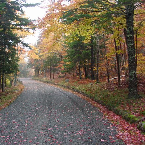
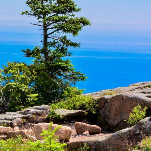
Built between 1921 and 1958, it gives cars their own route through the park, separate from local roads and the carriage roads. Expect forests, lakes and ocean views, with picnic areas, scenic overlooks and trailheads along the way. Plan on one to four hours, depending on how often you stop.
For the full tour, begin at Hulls Cove Visitor Center, where you can talk with a ranger or browse the park store. From there, drive south on Paradise Hill Road before the loop itself begins. Watch for signs to the one-way section toward Sand Beach, and don't turn toward Bar Harbor or Highway 233.
Sieur de Monts is the first major stop, and it's often called the Heart of Acadia. You'll find Sieur de Monts Spring and its spring house, the Nature Center, the Wild Gardens of Acadia, a tarn, the Great Meadow Wetland and several historic memorial paths. Interpretive signs explain the park's natural and cultural history. The area also honors George Dorr, who worked to create the park and served as its first superintendent.
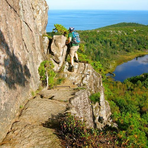
Most of the road is one-way, with traffic moving clockwise until you reach Jordan Pond. As the route follows the coast, you pass trailheads for the Precipice and Beehive trails. Next come Sand Beach, Ocean Path and Thunder Hole, and then the road curves around Otter Point.
From there the road turns inland to Jordan Pond and the Bubbles. The stretch between Jordan Pond and Cadillac Mountain carries two-way traffic. Heading north, you pass the turnoff for the road up Cadillac Mountain before the loop brings you back toward Bar Harbor.