Acadia National Park guide · 2 min read
Glacier-Carved Peaks and Pink Granite Summits
Spread out a topographic map of Mount Desert Island and the work of the last ice age jumps off the page.
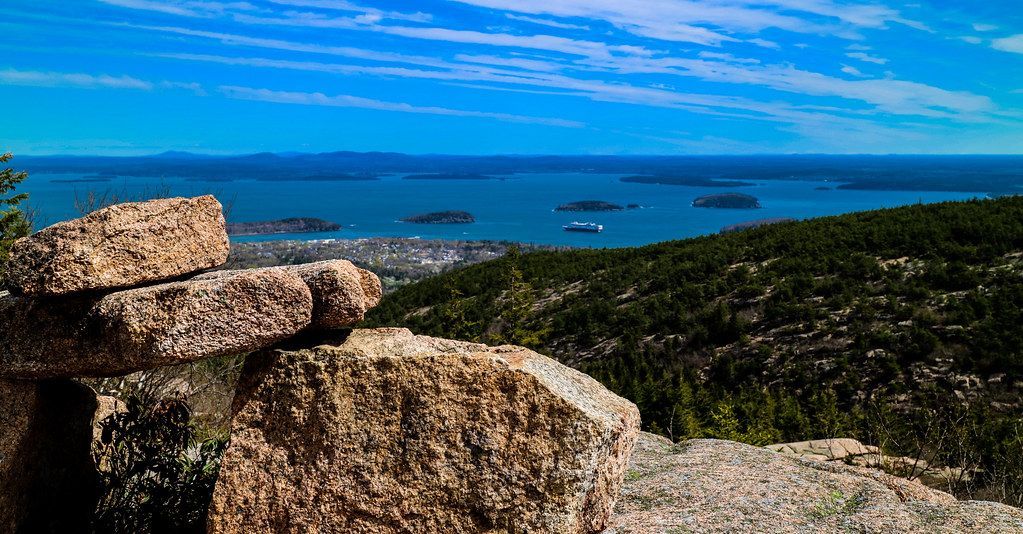
Mountains and lakes line up in long, narrow bands, a pattern left behind when the last glacier pulled back more than 18,000 years ago. As the ice moved, it ground away older rock to expose the granite below. As it melted, it dropped boulders and loose debris across the land.
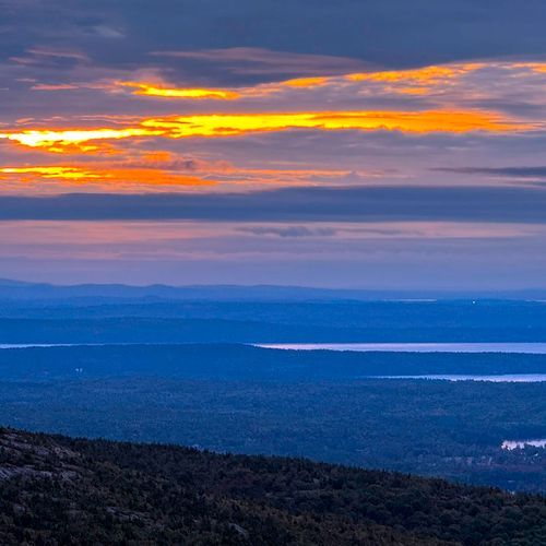
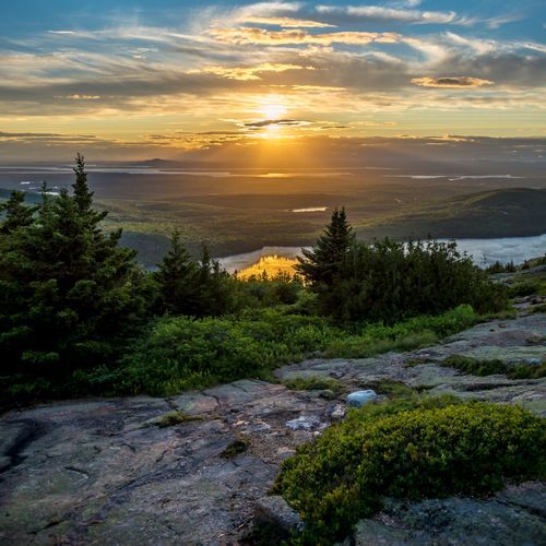
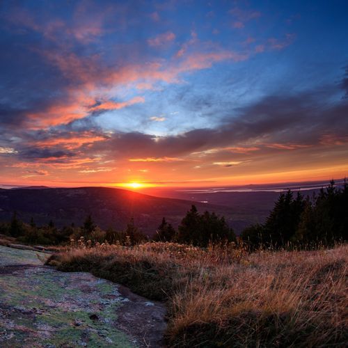
That same moving ice scraped the vegetation off most of Acadia's hilltops, which is why so many summits here are bald knobs of pink granite. Cadillac Mountain is the tallest of them, a domed peak rising to 1,530 feet, the highest point on the eastern seaboard. You can drive to the top, where the short, paved Cadillac Summit Loop Trail circles the summit with views in every direction over a coast and islands shaped by glaciers. Seven other mountains in the park also rise above 1,000 feet.
Between the ridges, glacial ice carved valleys into a rounded U shape, and Bubble Pond sits in one of them. Other long basins hold water you can explore by canoe or kayak. Launch at Ikes Point on Echo Lake, set out from the boat ramp on Eagle Lake, or paddle Long Pond, the longest pond in the park, from its south boat launch. Jordan Pond is another choice, with the South Bubble Trail climbing above its shore.
Many climbs to these open summits follow Acadia's historic trail system, known for its careful stonework. Hikers who reach the top of Acadia Mountain look out over the sound, but steep pitches, cliffs and iron ladders on some routes call for care. Follow the recommended routes so you are not descending the steepest sections, and carry plenty of water and extra layers. Bare granite can be slick underfoot, and trekking poles help keep you steady.