
Big Bend National Park hiking guide
Santa Elena Canyon Trail
A 1.9-mile out-and-back with 260 ft of climbing in Castolon, rated easy.
Key facts
- Length
- 1.9 mi (3.1 km)
- Elevation gain
- 260 ft (79 m)
- Route type
- Out and back
- Difficulty
- Easy
- Area
- Castolon
- Highest point
- 2,310 ft
- Lowest point
- 2,152 ft
About Santa Elena Canyon Trail
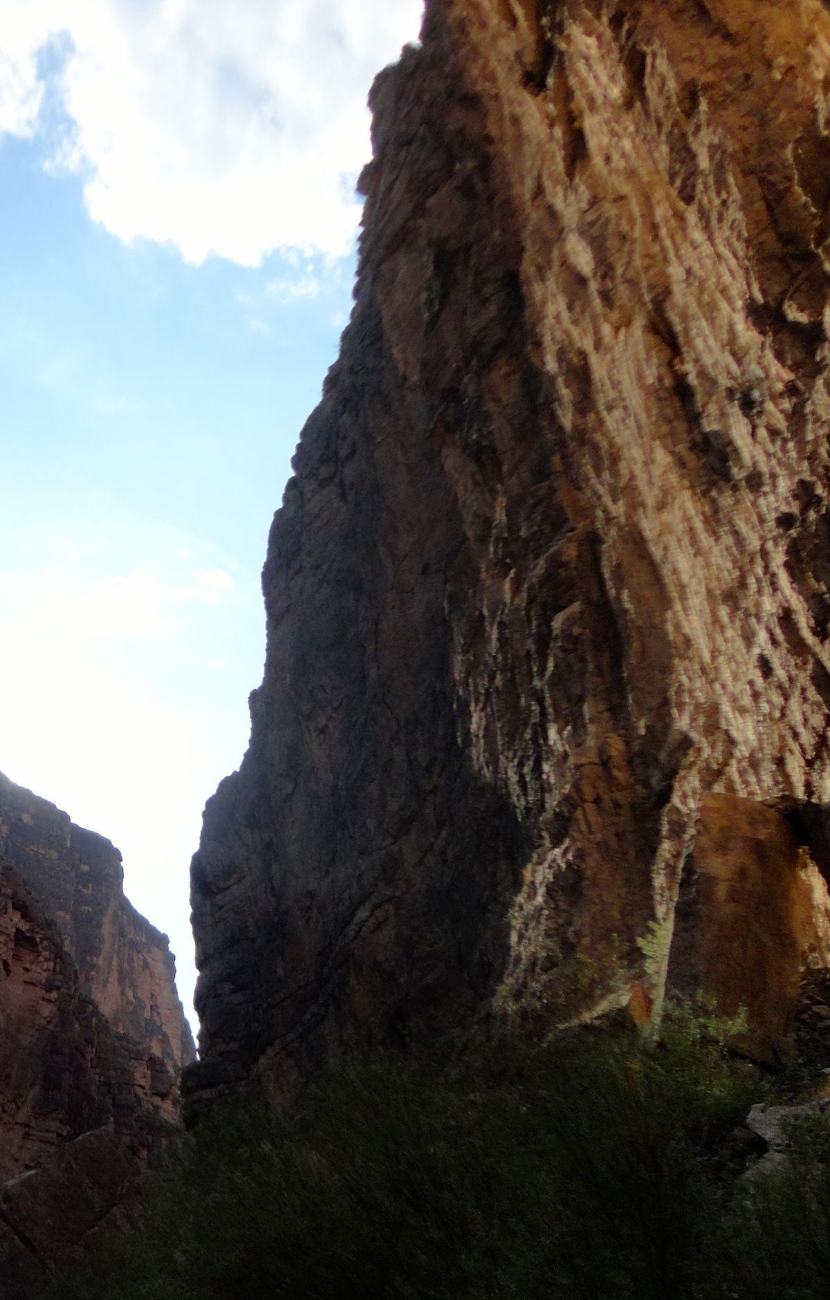
Towering cliffs rise 1500 feet above the Rio Grande, creating a dramatic canyon that separates the United States from Mexico. The trail descends into the canyon's shaded depths, offering stunning views and opportunities to observe wildlife. Hikers cross Terlingua Creek and ascend a series of steps before reaching the river's edge, where the canyon walls provide ample shade. The Rio Grande acts as a natural border, offering a unique perspective on the international boundary. Beyond the trail's end, kayakers and rafters can explore further into the canyon, enjoying spectacular scenery and diverse ecosystems.
Route map
This route was checked by Parka editors.
