Black Canyon Of The Gunnison National Park guide · 1 min read
From 1933 Monument to Wilderness Park
The site became a national monument on March 2, 1933. On October 21, 1999, the site was elevated to a national park.
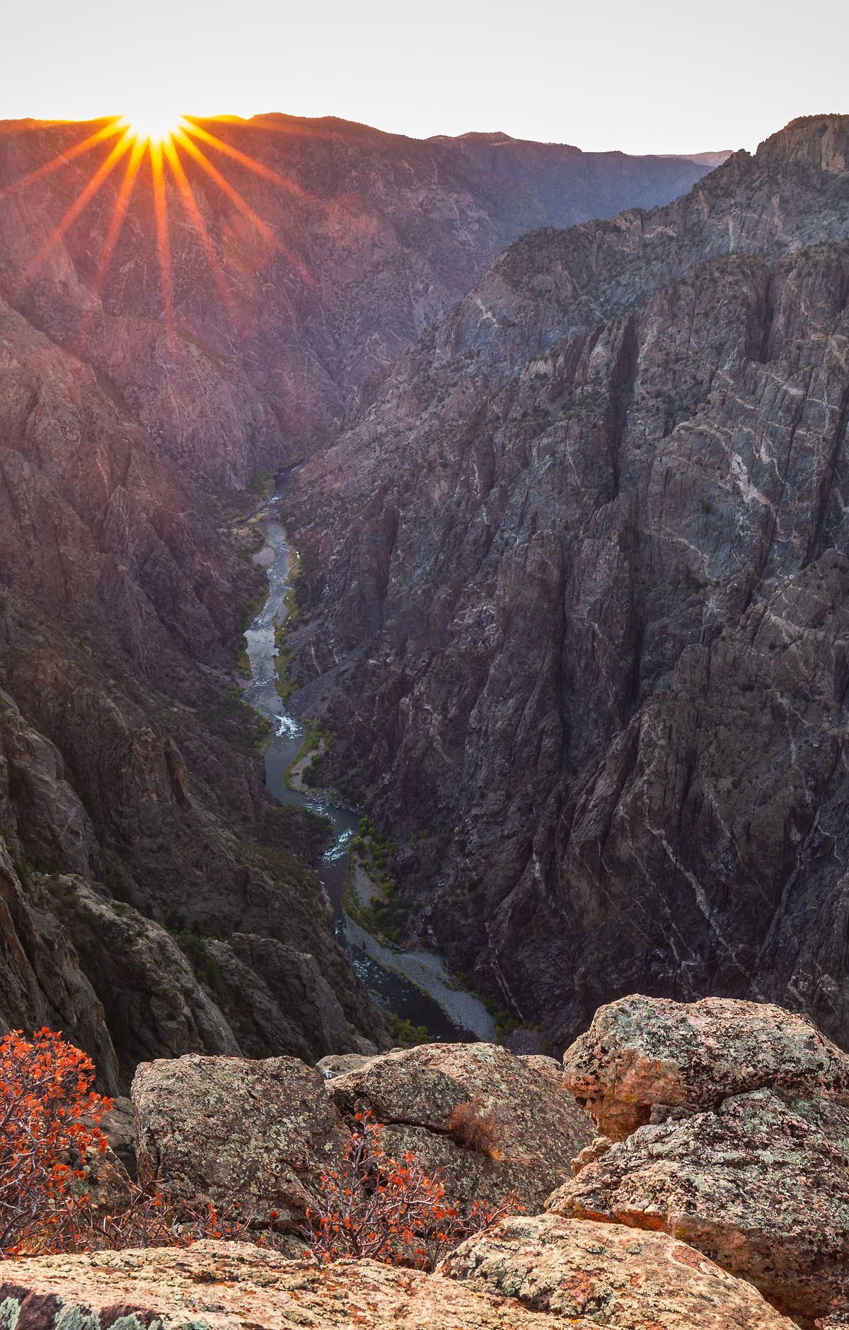
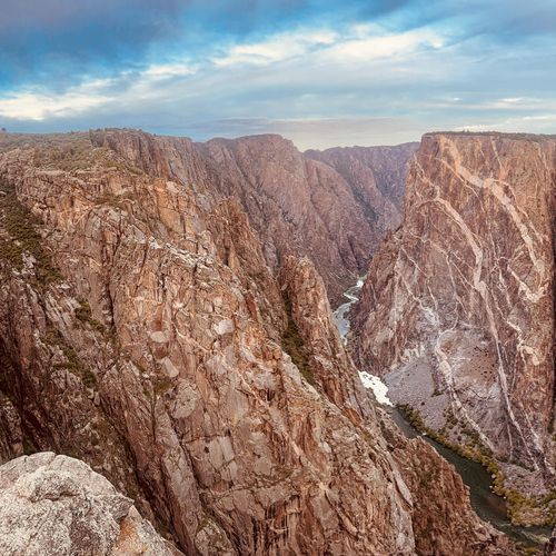
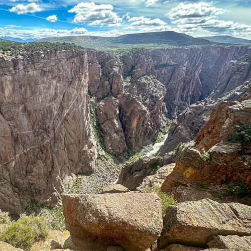
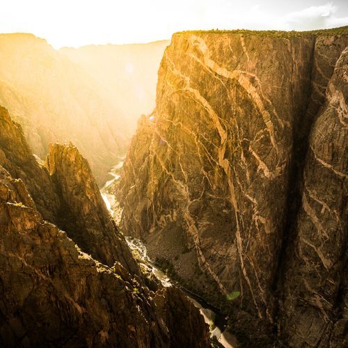
Today the canyon exposes cliffs among the steepest in North America, some of the oldest rock there, and a cluster of craggy spires. Natural processes, working alongside the Gunnison River, carved the gorge over roughly two million years.
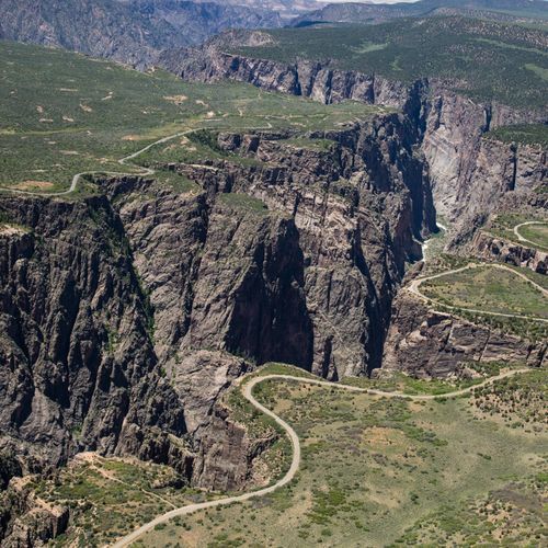
The canyon splits the park into a North Rim and a South Rim. Nothing crosses the canyon to connect the rims, so going from one side to the other means taking non-park roads, a trip that can run two hours or more. Each rim road joins the highway at a single entry point and comes to a dead end within the park.
The Civilian Conservation Corps built the North Rim Road between 1933 and 1935 using a design from the National Park Service. Along its five miles, the route has five overlooks, and the National Register of Historic Places recognizes the road as a historic district.
Gunnison Gorge National Conservation Area came into being in 1999, alongside the park's redesignation. That same year, 4,000 acres of Bureau of Land Management land became part of the park. Sanburg Ranch, 2,500 acres, joined the park in 2017. Wilderness status came earlier, in 1976, when 15,599 acres, about half the park, was designated a wilderness area.