Black Canyon Of The Gunnison National Park guide · 1 min read
Two Rims, No Bridge: Planning Your Route
The canyon divides the park into two sides, and no bridge or road crosses it to connect the North and South Rims.
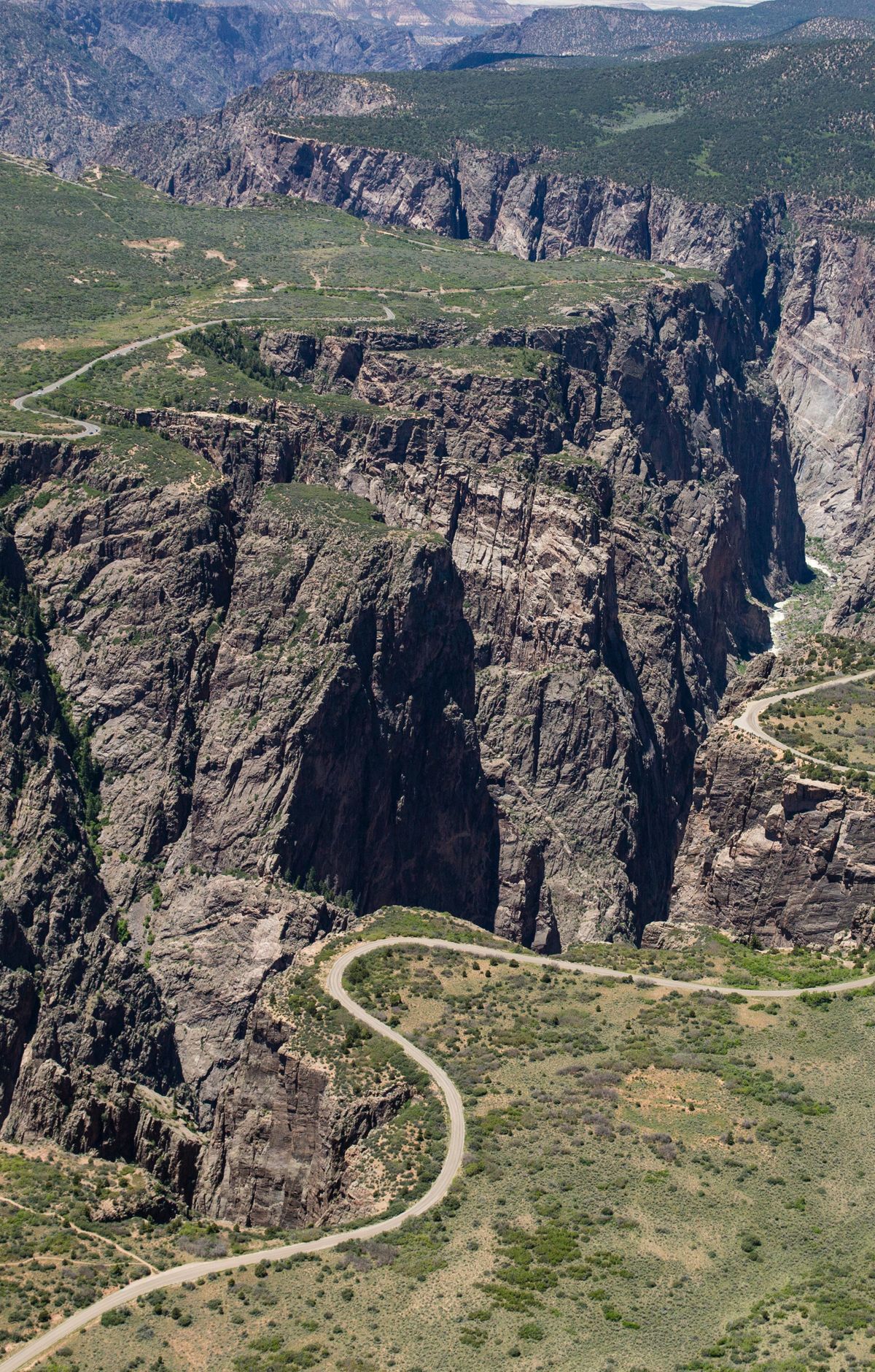
Each rim is reached from the highway by a single route and dead-ends inside the park. To get from one rim to the other, you must leave the park and travel on non-park roads, a trip that can take two to three hours. If you want to see both sides, plan for that drive, or choose one rim for your visit.
The South Rim is the more developed side, with more facilities. It lies about 15 miles east of Montrose, and you reach it by Highway 50 and Colorado 347. Begin at the South Rim Visitor Center, where you can get information, exhibits, publications, and wilderness permits. From there, South Rim Drive links a series of overlooks and hiking trails.
The North Rim sits about 11 miles south of Crawford, reached by Colorado 92 and Black Canyon Road. The last stretch is an unpaved access road, and the area feels wild with few services. Here you will find the North Rim Ranger Station and a campground with only a handful of sites. This side suits visitors who want quiet and are prepared to manage on their own.
The park has no lodges and no restaurants. For meals and a bed, the closest options are in Montrose and Gunnison, Colorado. Phone coverage can be spotty inside the park, so save the park in the official National Park Service app before you arrive, which lets you use it offline.