Black Canyon Of The Gunnison National Park guide · 2 min read
Inner Canyon Routes: Gunnison, Warner, Red Rock
Anyone who travels below the rim needs a Wilderness Use Permit. The inner canyon has no maintained or marked trails.
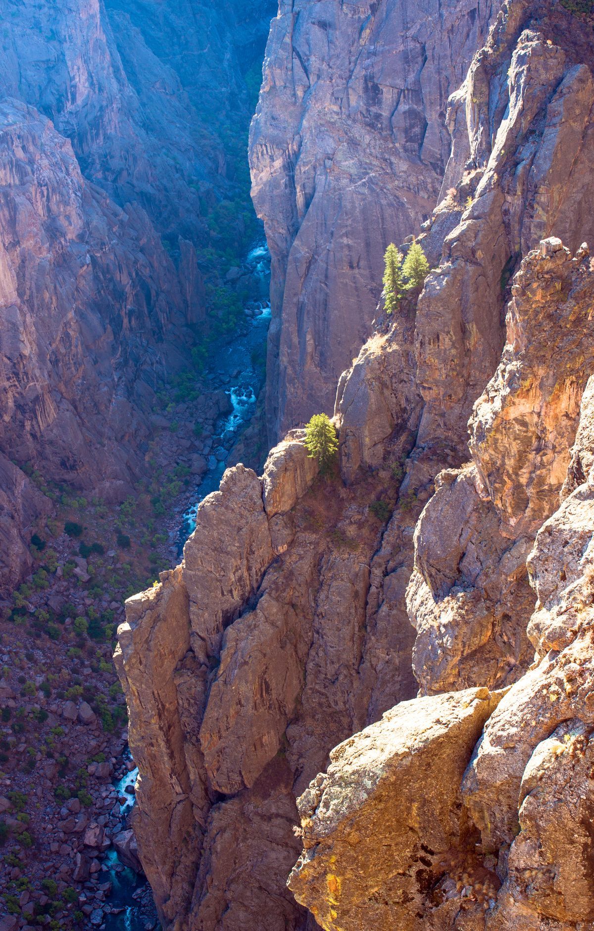
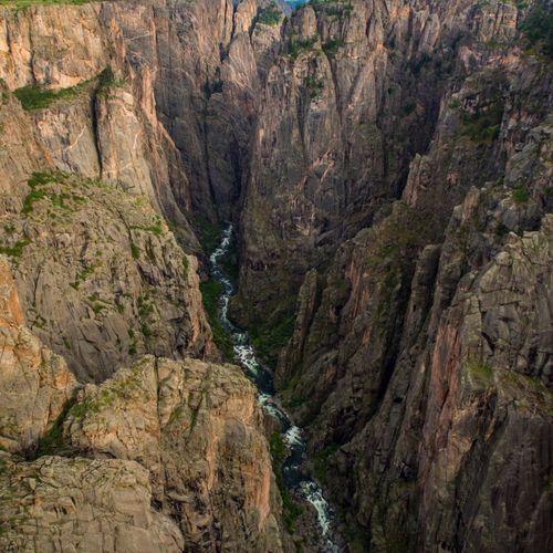
Instead, its wilderness routes are unmarked, very steep, and loose underfoot, with demanding scrambles along the way. The park advises against them for people with heart or lung conditions. Hikers find their own way and need to be ready for self-rescue, so it helps to study the route behind you on the way down.
The Gunnison Route runs about 3 miles from the south rim down to the Gunnison River, starting near the Visitor Center. Many people pick it for a first trip below the rim, yet it stays very steep. Expect a strenuous outing, with a large amount of elevation to regain on the way back up.
The Warner Route is a 5.5-mile out-and-back that starts at Warner Point Nature Trail. It is strenuous and takes a full, exhausting day. Those who want to stay overnight can camp at one of five sites on the canyon floor.
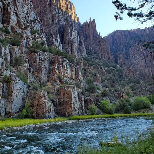
Red Rock Canyon sits in the park's southwest corner, inside the wilderness area. The route covers 3.5 miles one way and drops 1,300 feet to the Gunnison River. A double-track road covers the first mile from a small parking lot, and then a shallow creek leads the way. Stream crossings can make the route hard to follow, and poison ivy grows thickly on the lower section. Campsites appear upstream and downstream as you near the water, and anglers come for the river while hikers choose it as an alternative to the steeper routes.
Forces of nature and the Gunnison River carved this canyon over two million years. The wilderness routes are sometimes the only path down to the river. Inner canyon hiking is a different kind of outing from the rim trails.