Bryce Canyon National Park guide · 2 min read
Earth's Largest Concentration of Hoodoos
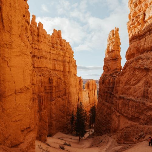
Hoodoos are odd, upright pillars of rock, and this park holds more of them than any other place on Earth.
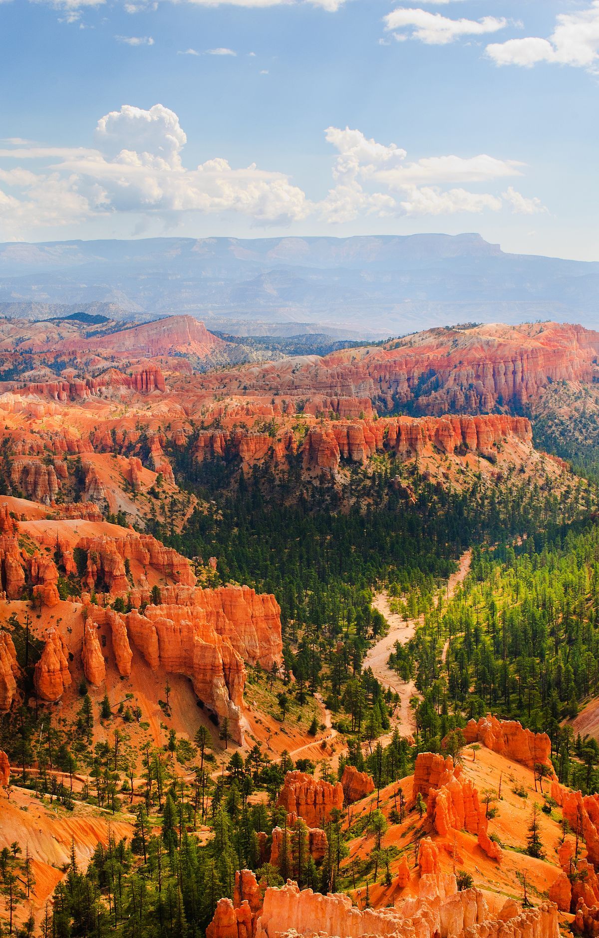
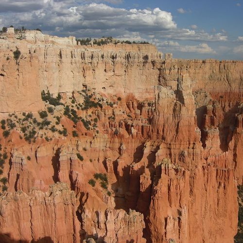
Some reach as high as 200 feet. Streams did not carve them. Instead, headward erosion hollowed bowl-shaped amphitheaters into the ancient rock of the Paunsaugunt Plateau, and the hoodoos stand within those bowls.
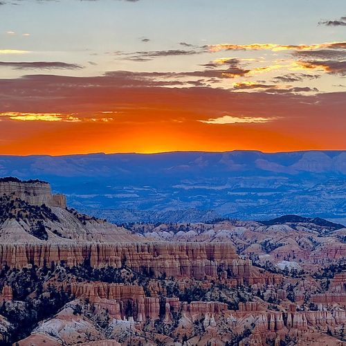
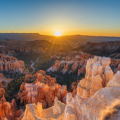
The Bryce Amphitheater is the park's best-known section, with more hoodoos than anywhere else on the planet. Many of its viewpoints sit near the entrance, so you can see much of the bowl from your car. Bryce Point, one of four main viewpoints here, offers a sweeping look at the area most visitors come to see.
The park sits on the eastern edge of the Paunsaugunt Plateau, whose name comes from Paiute and means home of the beaver. The plateau rests at the top of the Grand Staircase. From Yovimpa Point, the rock layers of Grand Staircase-Escalante National Monument reach all the way toward the Grand Canyon, a view that shows how large southern Utah's landscape is.
Most of the park's day hikes are in the amphitheater area, and that is where the scenic driving to the viewpoints begins. The park has one main road, 18 miles long and running north to south, with a single way in and out. The amphitheater lookouts are on your left as you enter.
The road continues another 15 miles along the Southern Scenic Drive to Rainbow and Yovimpa Points, which mark the park's highest ground. At 9,100 feet, Rainbow Point is the top elevation visitors can drive to. Many people drive to the far end first and stop at lookouts on the way back, since those stops are on the right when heading north. Natural Bridge is a short walk along this stretch, where a red stone arch stands among the trees.