Bryce Canyon National Park guide · 1 min read
From Cretaceous Seaway to Paunsagunt Plateau
The park's oldest rocks now lie hidden beneath the Claron Formation, laid down long before the hoodoos took shape.
About 90 million years ago, a shallow inland sea called the Cretaceous Seaway divided the continent from east to west. Sediments that became Dakota Sandstone and Tropic Shale accumulated as the sea advanced and retreated. Outcrops of these rocks lie just outside the park's borders.
Erosion later removed most of the other layers that once formed here. Between roughly 70 and 50 million years ago, the Laramide orogeny, a mountain-building episode, reshaped the whole western side of what would become North America. That uplift raised the Rocky Mountains and shut off the seaway. Around 16 million years ago, the Colorado Plateau rose, and faults broke it into blocks that each climbed at a different pace.
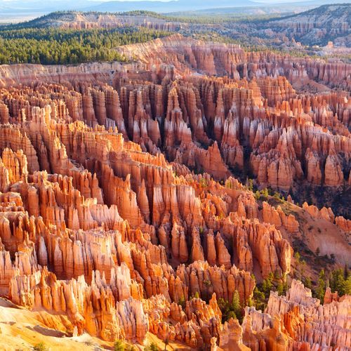
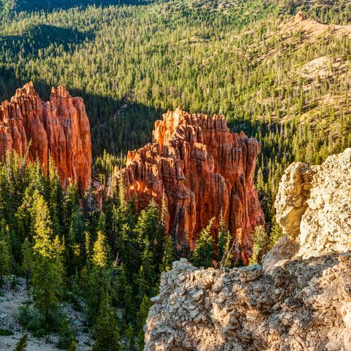
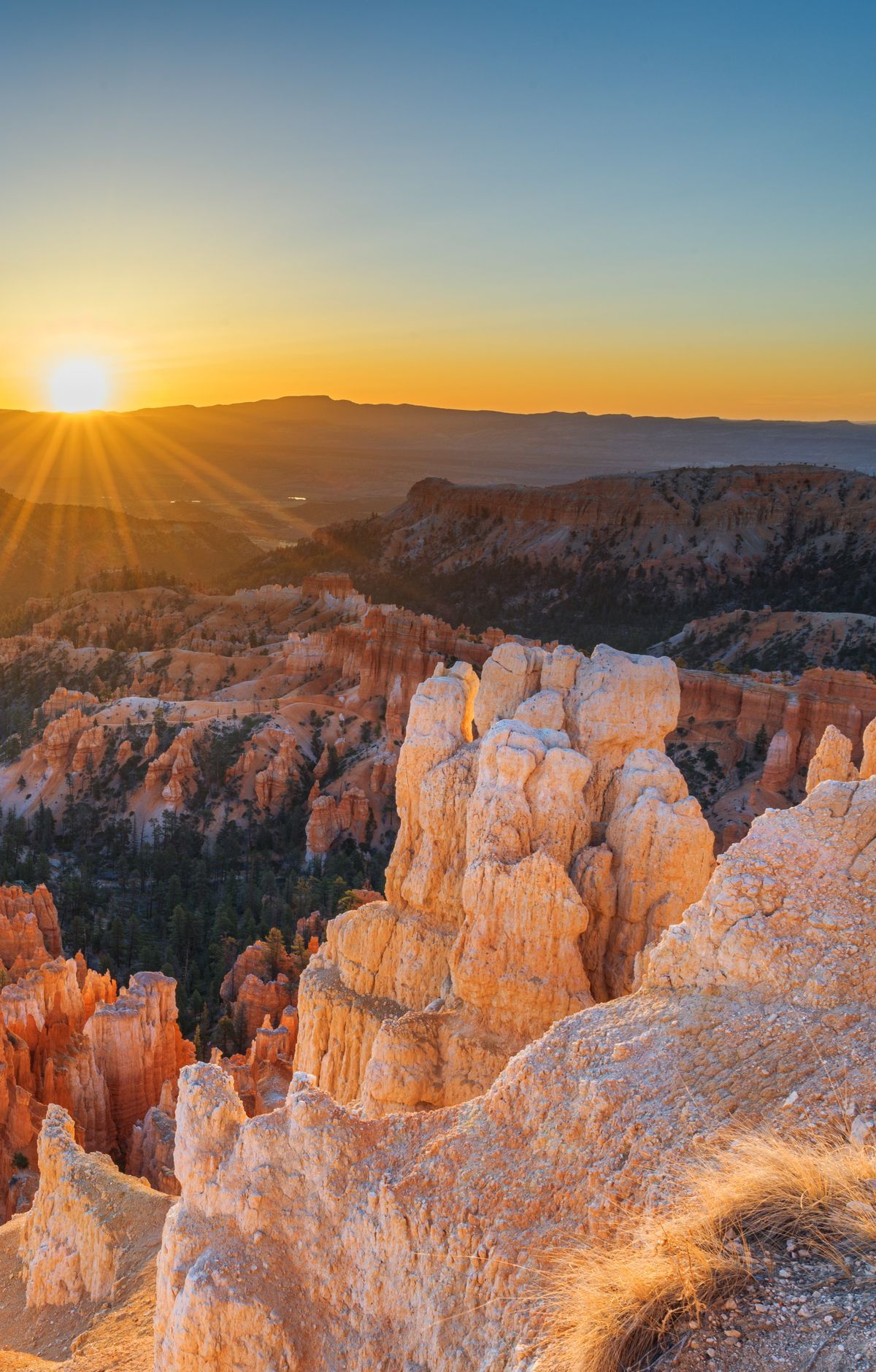
The hoodoos are carved from the Claron Formation, a limestone that accumulated between 55 and 35 million years ago in big lakes that grew and shrank across the region. Frost wedging is one of the main forces shaping the rock, and rainwater dissolves the limestone too. Hoodoos appear on every continent, but this park holds the largest concentration found anywhere on Earth, and the tallest rise to about 200 feet.
Bryce Canyon is not a canyon in the usual sense, since no single stream cut it. Instead, erosion working backward into the edge of the Paunsaugunt Plateau scooped out horseshoe-shaped amphitheaters. Natural arches have formed where erosion has worn away sedimentary rock.
The first 3 miles of the 18-mile main road pass through the Bryce Amphitheater, where most of the park's day hikes are found. Fairyland Point, the northernmost viewpoint on the rim in the park, looks over Fairyland Canyon, where the hoodoos are younger than those farther south.