
Bryce Canyon National Park hiking guide
Rim Trail
A 5.4-mile trail with 1,680 ft of climbing in Fairyland Point, rated moderate.
Key facts
- Length
- 5.4 mi (8.6 km)
- Elevation gain
- 1,680 ft (513 m)
- Difficulty
- Moderate
- Area
- Fairyland Point
About Rim Trail
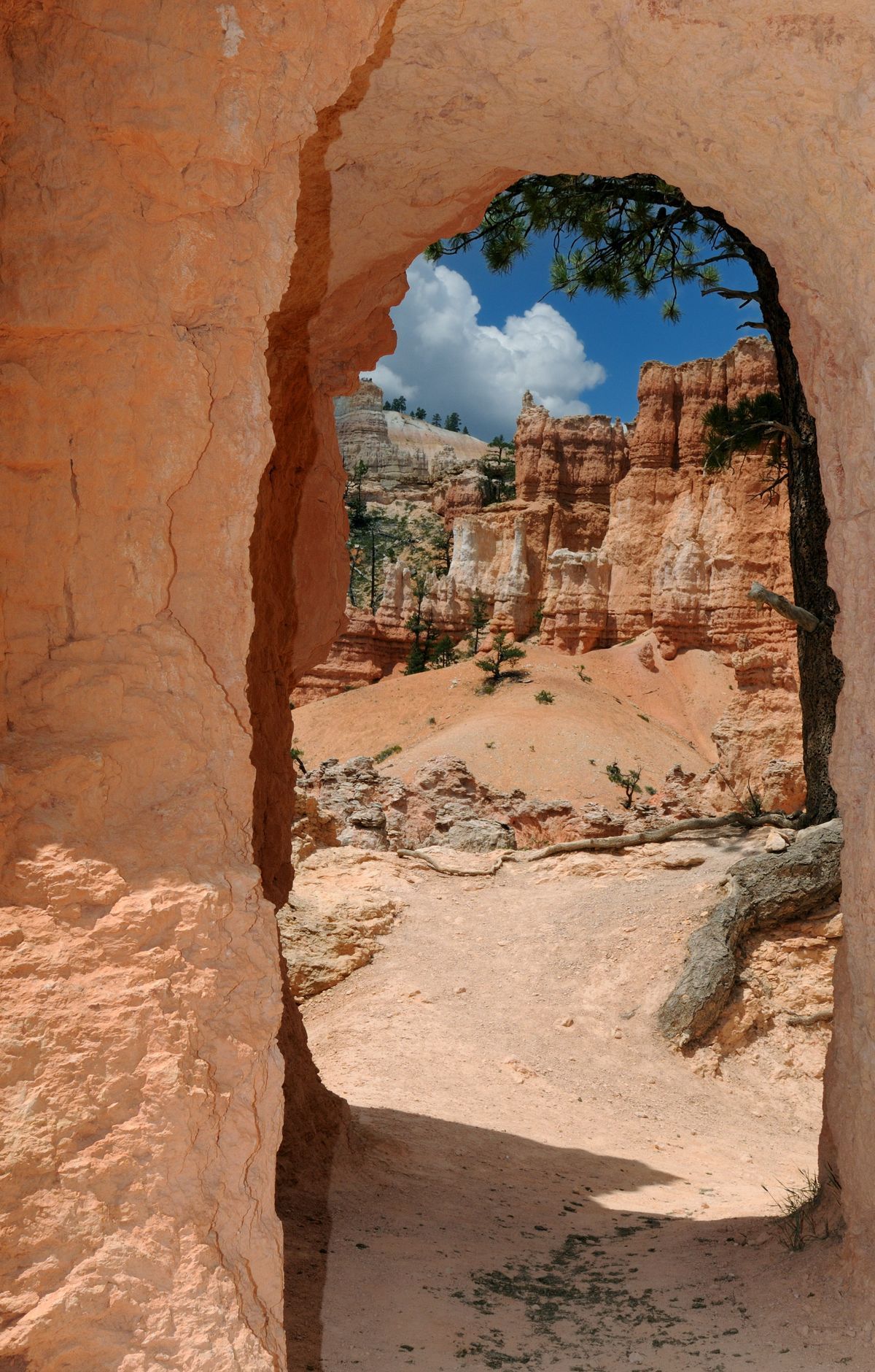
Follow the rim of a natural amphitheater, offering breathtaking views of multicolored hoodoos, massive fins, and eroded ridges. Iconic formations like Thor’s Hammer, the Silent City, and the Wall of Windows are visible along the way. The trail passes through ponderosa and aspen groves, providing a scenic backdrop to the dramatic vistas below. It connects several viewpoints, including Inspiration, Sunset, and Sunrise Points, allowing hikers to experience the park's unique landscape from multiple perspectives.
