
Canyonlands National Park hiking guide
Murphy Point Trail
A 3.3-mile out-and-back with 210 ft of climbing in Island in the Sky, rated easy.
Key facts
- Length
- 3.3 mi (5.4 km)
- Elevation gain
- 210 ft (64 m)
- Route type
- Out and back
- Difficulty
- Easy
- Area
- Island in the Sky
- Highest point
- 6,244 ft
- Lowest point
- 6,079 ft
About Murphy Point Trail
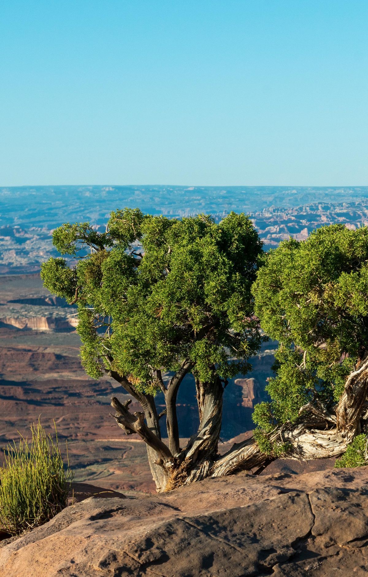
Views stay open for much of this mesa-top walk on Island in the Sky, looking out over the Green River toward the Henry Mountains. The route runs between the Buck Canyon and Candlestick Tower overlooks, with the tower's tall sandstone spire rising close by. Water is scarce on this mesa, and cairns mark the way, so carry plenty and go early or late in the day.
Route map
This route was checked by Parka editors.
