Carlsbad Caverns National Park guide · 1 min read
Rattlesnake Canyon and Desert Backcountry Trails
The Upper Rattlesnake Canyon Loop Trail covers six miles and is rated moderately difficult, so most hikers should allow about four hours.
It begins at the Rattlesnake Canyon Trailhead and reaches the Guadalupe Ridge Trail. From there it drops down to Walnut Canyon Desert Drive before looping back to where it started. Over the full route, the trail changes elevation by 670 feet.
The Lower Rattlesnake Canyon Trail is three miles long, carries a moderate rating, and takes about three hours. It starts roughly a quarter mile past interpretive marker four on the scenic Walnut Canyon Desert Drive. Its elevation change totals 600 feet, and overnight trips on it also need a permit.
Backcountry camping requires a free permit from the visitor center. Permit holders must be at least 18, and stays are capped at seven nights in a row. Groups are limited to 10 people, and larger parties need to split up and camp at least a quarter mile apart. Each site must sit 100 feet or more from marked trails and at least 300 feet from water and from cave openings. Sites must also sit half a mile, or 2,600 feet, from roads and parking lots.
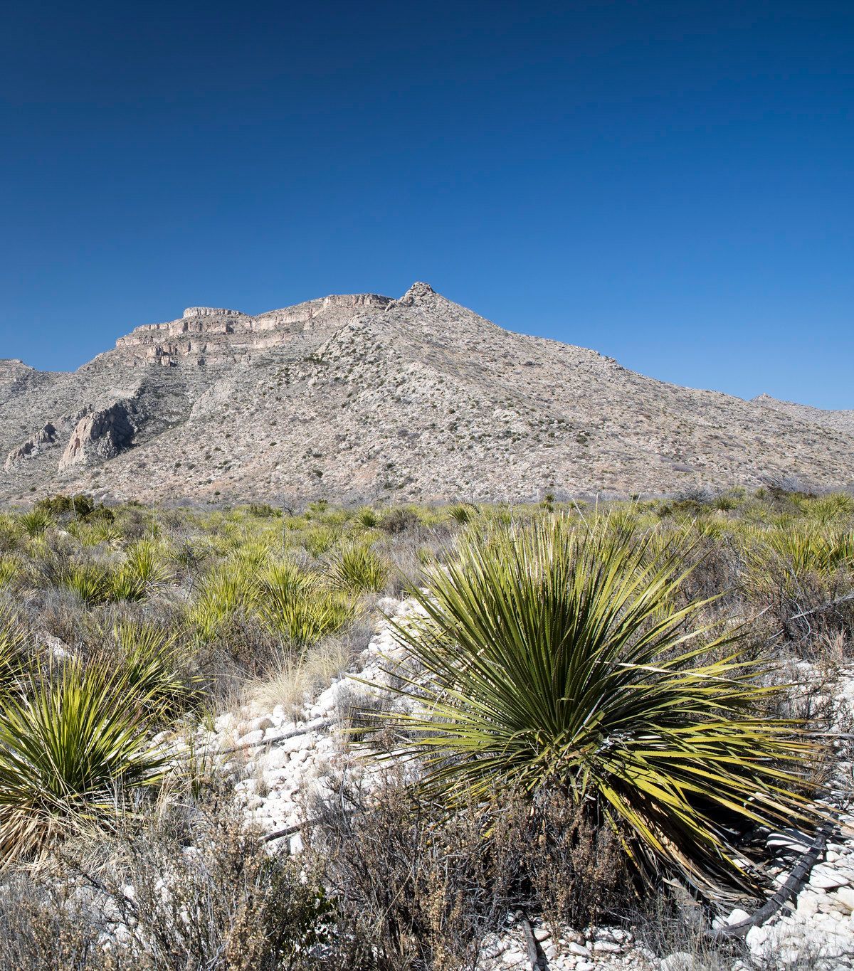
Ten hiking trails and an unpaved drive reach the Chihuahuan Desert, where ancient sea ledges rise above steep canyons and cacti bloom. Surface trails let you explore that terrain on foot. Campers in the Rattlesnake Canyon area can pitch tents west of the trailhead, off the Desert Scenic Loop Road.
The Guadalupe Ridge Trail is a National Recreation Trail for hiking or backpacking, running from White's City to Guadalupe Peak in Guadalupe Mountains National Park. Juniper Ridge Trail is also part of the backcountry network, but flood damage has affected it, so check current conditions before planning a route there.