Parka
Carlsbad Caverns National Park

Trails in Carlsbad Caverns National Park

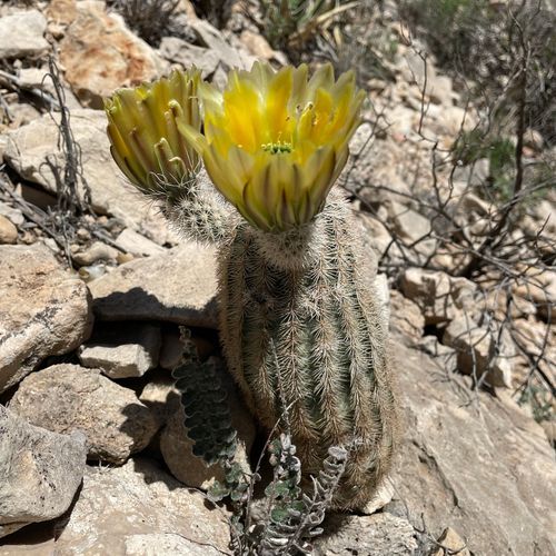
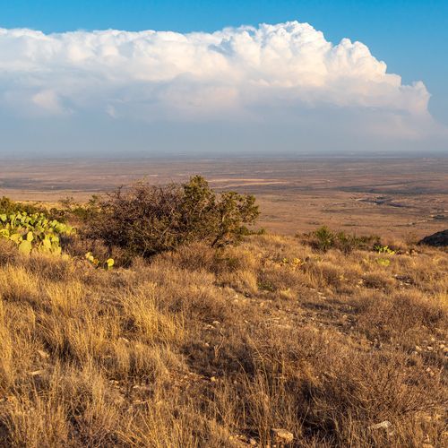
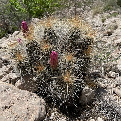
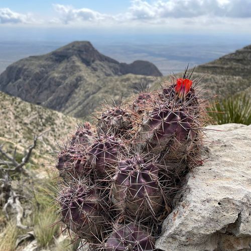
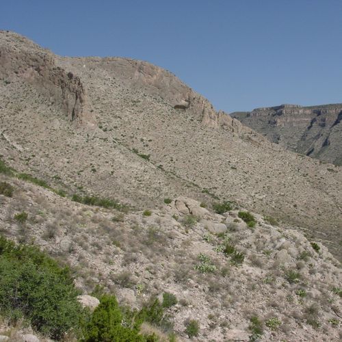
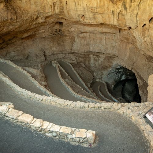
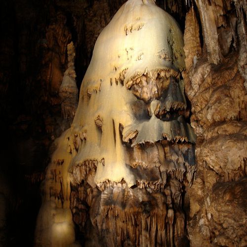
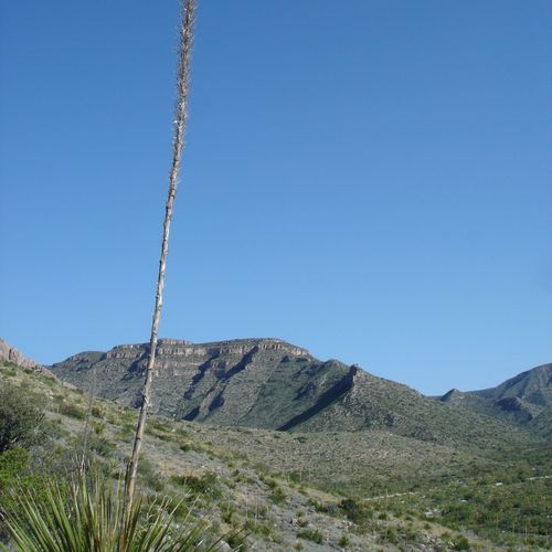
Carlsbad Caverns National Park delivers a hiking experience unlike any other in the Southwest, pairing rugged Chihuahuan Desert terrain with one of the world’s great underground landscapes. Above ground, the park’s trails move through cactus-studded grasslands, limestone ridges, and rocky canyons, where expansive views stretch across the Guadalupe Mountains. Routes range from short walks and scenic overlooks to longer backcountry outings, including sections of the Guadalupe Ridge Trail, a demanding National Recreation Trail that continues toward Guadalupe Mountains National Park. The park’s essential hike, however, descends below the desert. The 1.25-mile Natural Entrance Trail follows the historic mouth of Carlsbad Cavern on a steadily descending paved path, carrying hikers from bright daylight into a vast realm of limestone chambers, dripstone formations, and cathedral-scale spaces. It connects with the Big Room Trail, an accessible loop through the cavern’s showpiece chamber and its extraordinary collection of stalactites, stalagmites, columns, and delicate calcite draperies. The route downhill is moderate but sustained, and anyone considering hiking back out should be prepared for a steep, strenuous climb. What makes hiking here special is the contrast: one moment you are walking beneath an open desert sky among flowering cactus and ancient reef formations, and the next you are traveling through the shadowed interior of that same ancient landscape. Carlsbad Caverns is not simply a place to take a walk underground; it is a park where trails reveal the desert from two completely different worlds.

Natural Entrance Path

Natural Entrance Path

0.1 mi38 ft gain

Paved and steep, the trail drops from the cavern's natural mouth, and daylight gives way to the cave's gloom as you descend. Formations such as Iceberg Rock, the Whale's Mouth and Devil's Spring line the way, ending at the Big Room. Visitors with a heart or breathing condition are advised to skip it, and it isn't wheelchair accessible, but the Visitor Center is a short walk from the start.
Slaughter Canyon Cave Trail

Slaughter Canyon Cave Trail

0.5 mi540 ft gain

This rugged path climbs toward Slaughter Canyon, with canyon views opening up along the way. Most hikers need about 45 minutes from the parking area to reach the cave entrance. The cave interior is seen only on a ranger-guided tour, which walks without electric lights, so bring a flashlight or headlamp. Expect slippery, uneven ground underfoot once you go underground.

Guadalupe Ridge Trail

11.9 mi3,780 ft gain

Walk the crest of a desert ridge with views over deep canyons and rugged mountain country. This route crosses several protected areas, from the Guadalupe Mountains through national forest and public land. The route runs through a fossilized reef, so the rock underfoot records a sea that once covered this land. Expect exposed, rocky footing and plan for overnight backcountry camping.

Slaughter Canyon Trail

Slaughter Canyon Trail

3.0 mi930 ft gain

This one-way hike begins at the canyon's parking area and follows the route deep into the park's backcountry. Expect a full day on rugged ground with a steady climb, so it suits visitors prepared for a long outing. The trailhead sits just steps from a shorter cave trail, which makes a good warm-up.

Upper Rattlesnake Canyon Trail

Upper Rattlesnake Canyon Trail

2.9 mi1,070 ft gain

This loop connects the Rattlesnake Canyon Trailhead with the Guadalupe Ridge Trail, dropping down to the Walnut Canyon Desert Drive before climbing back to where it started. It offers a varied route through the Chihuahuan Desert, moving from high ridge terrain into the canyon. Expect a long outing with little shade, so carry plenty of water.

Guano Road Trail

Guano Road Trail

3.4 mi750 ft gain

Hikers follow an old dirt road once used to haul bat guano out of the cavern in the early 1900s. Ruins and scattered debris from that mining operation line parts of the route, offering a glimpse of the cave's industrial past. The walk drops down the escarpment from the Natural Entrance area to the White's City campground, with views of the landscape beyond the cavern.

Juniper Ridge Trail

Juniper Ridge Trail

2.8 mi720 ft gain

The trail begins along Walnut Canyon Desert Drive, a scenic road through Carlsbad Caverns National Park. Expect a noticeable climb toward the ridge above the desert floor, and the trail can be walked in every season. Its trailhead sits within walking distance of the visitor center and the Bat Flight Amphitheater, so it's convenient to fit into a visit to the main entrance area.

Lower Rattlesnake Canyon Trail

Lower Rattlesnake Canyon Trail

1.4 mi230 ft gain

This trail begins about a quarter mile past interpretive marker number four on Walnut Canyon Desert Drive and heads into a desert canyon in the park. Overnight use requires a permit, which you can get at the visitor center. Because the setting is arid, bring plenty of water and sun protection before setting out.

Ussery Trail

Ussery Trail

3.1 mi2,130 ft gain

Walnut Canyon Vista Trail

0.1 mi22 ft gain

Paved stroll to a canyon overlook beside the visitor center road

Yucca Canyon Trail

Yucca Canyon Trail

7.7 mi3,160 ft gain

The trail heads up a side canyon, gaining the rim of the escarpment quickly, where the ridge opens onto views of the basin below. It then crosses the plateau to a sheer drop overlooking Big Canyon. Few trails in the park pass through ponderosa and other pines, which make this route feel like a different landscape from the desert around it.

Length is the full route as drawn on the Parka map, so out-and-back trails count both directions. Gain is the total ascent over that route.

Get offline trail maps and detailed hiking info in the Parka app

Download Parka — It's Free

Get offline trail maps for Carlsbad Caverns National Park

Free on the App Store

Get Parka

Why Park Lovers Choose Parka

Trip Planner

All the tools for epic adventures

Works Offline

Fully functional without cell service

Updated Weekly

Trail conditions, alerts, and closures

Try Risk-Free

7-day free trial, cancel anytime

Start Your 7-Day Free Trial

Unlock everything you need for your next national park trip. Your first week is on us!

National Park vista

Start your adventure today

Download Parka and plan your perfect national park trip in minutes.

Explore All 63 National Parks

Browse parks by region and discover your next adventure