Cuyahoga Valley National Park guide · 1 min read
How Ice Age Glaciers Shaped Cuyahoga Valley
The Cuyahoga River takes an unusual path through the park. It runs southwest at first, then swings sharply north and reaches Lake Erie not far from where it started.
That route forms a V. The left arm follows an older valley that was already in place before the glaciers arrived. The right arm is newer drainage, and it cut into the old valley at Cuyahoga Falls, at the base of the V.
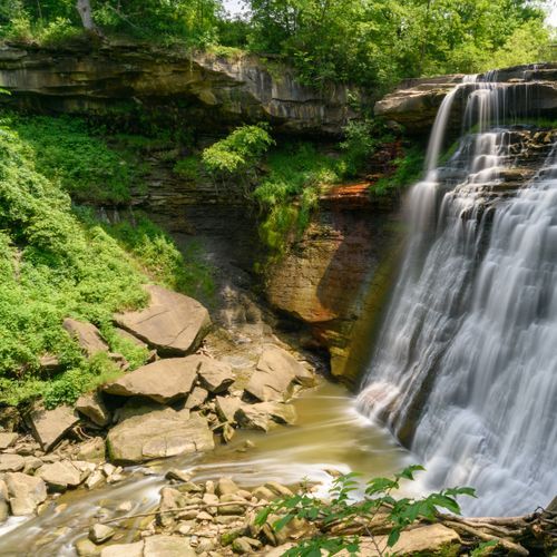
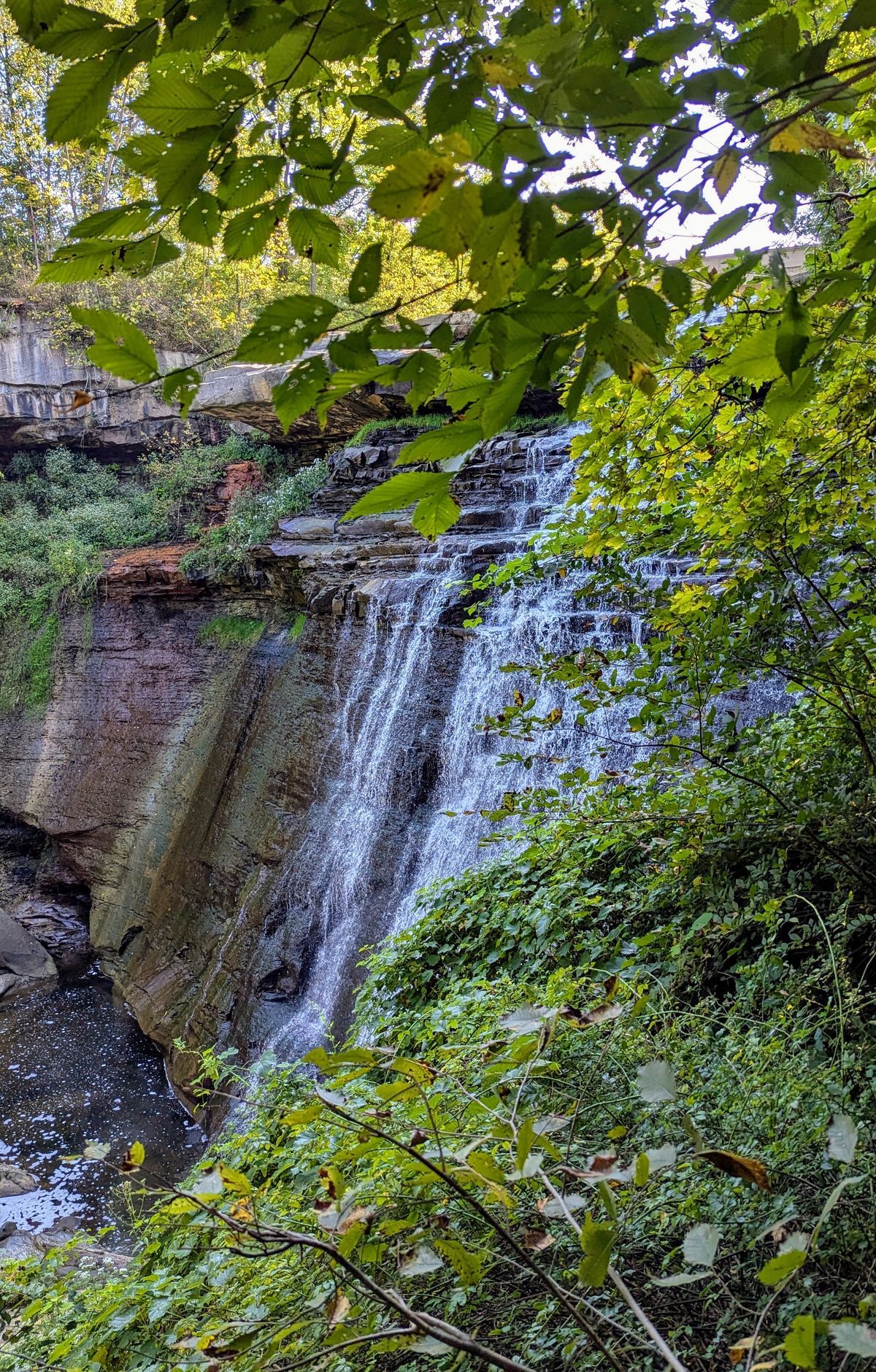
Streams feeding the old valley have cut gorges of their own, and several of them drop over waterfalls. Tinkers, Brandywine and Chippewa Creeks are among the streams whose gorges hold falls. The water wears away Bedford Shale, a softer layer beneath the tougher Berea Sandstone, and that erosion is how the falls form. Waterfalls can be found throughout the park.
Glacial material left by the ice builds up to 400 feet within the valley. Its layers are intricate because meltwater collected against the ice both before and after each glaciation. Shoreline deposits from Lake Maumee, including beach material and gravel bars, also appear in the valley.
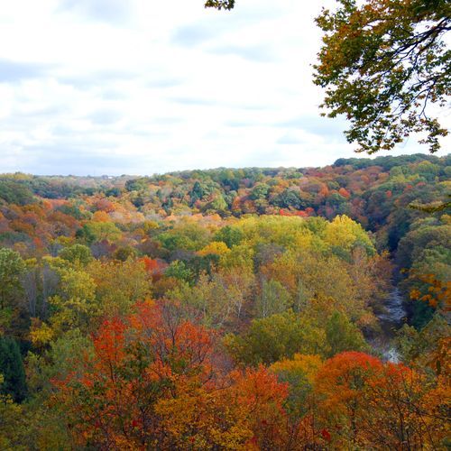
Flat bottomland stretches along the river, and four main routes run through it. Those routes are the river itself, the canal towpath, the scenic railroad and the automobile byway. Steep ravines cut into the valley walls, with highlands rising above them.
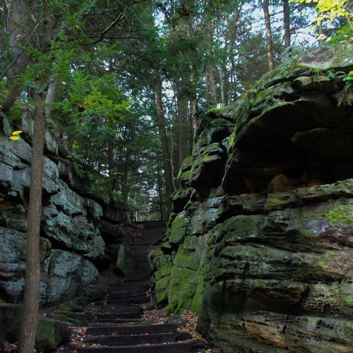
Hikers can follow trails down through the ravines. Photographers come for the waterfalls, and the park also offers scenery and wildlife worth framing. For visitors with limited mobility, the steepest ravine trails are the least accessible, but there are plenty of other options.