Death Valley National Park guide · 1 min read
Badwater Basin: Salt Flats 282 Feet Down
Badwater Basin sits 282 feet below sea level, making it the lowest point in North America.
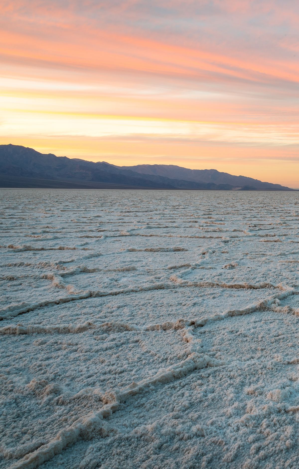
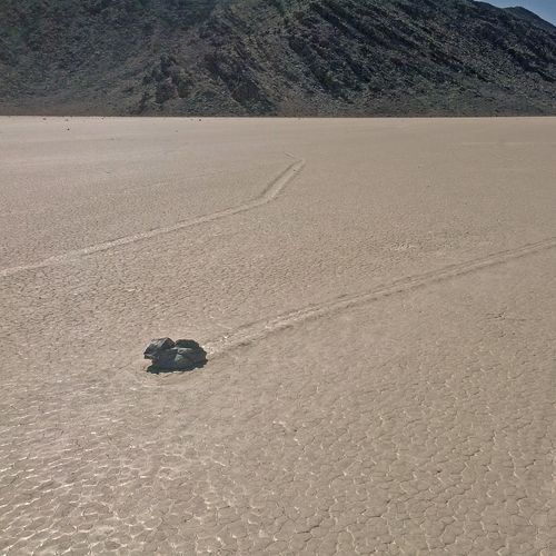
Its floor is a vast expanse of salt flats covering more than 200 square miles of Death Valley. Little visible life is spread across the white surface, which runs toward distant desert mountains and gives the basin a stark, otherworldly look.
The basin can also change after heavy weather. After heavy rainstorms, a temporary lake may form over the flats. Afterward, the surface can be thick and muddy, so check conditions before stepping off the boardwalk.
A boardwalk makes the basin easy to explore. An accessible ramp leads down to the boardwalk and the badwater pools, and signs along the way describe the local environment. Where the boardwalk ends, a trail continues onto the salt flats, but there are holes in the ground at that point, so watch your footing. A walk of about a quarter mile out onto the flats brings you to the salt polygons, large formations shaped like polygons that Death Valley is known for.
You can also see the basin from your car along Badwater Road, about 17 miles south of Furnace Creek. The flats are a very good subject for photography, with the chance to take some unusual pictures. Plan on at least half an hour, and longer if you head farther across the crust or linger with your camera. The paved lot has large spaces for buses and big vehicles, and a vault toilet sits in the lot, though there are no rest stops along the route.