Denali National Park & Preserve guide · 2 min read
Savage River: The Road's Paved End
Savage River sits near the end of the paved, publicly accessible section of the Denali Park Road, about 15 miles in from the park entrance.
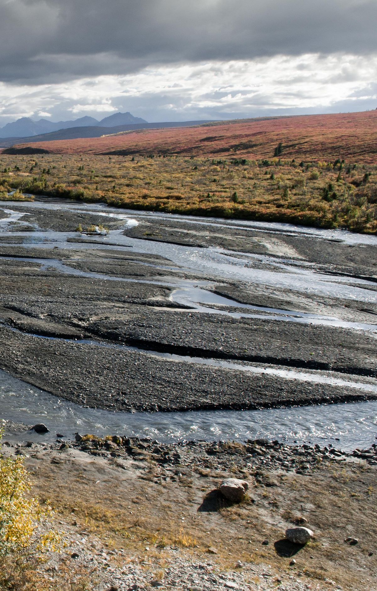
Private cars can cover that stretch, which is paved from start to finish and has pull-outs where drivers can pause for pictures. Parking here is limited, so the free Savage River Shuttle is the easiest way in. Riders can bring up to two bicycles on the shuttle at once.
The Savage River Loop Trail is an easy option here. It covers about 2 miles in a loop along the river, which makes it a good choice for families or anyone wanting a relaxed walk. The trail gets busy around midday, and you won't see the mountain from it. It begins at the same trailhead as the Savage Alpine Trail.
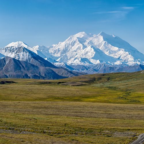
The Savage Alpine Trail runs 4 miles and can be hiked point-to-point or as an out-and-back. It gains about 1,500 feet in total, so expect a real climb. This is the strongest option for seeing Denali on your own two feet, though the view depends on clear skies.
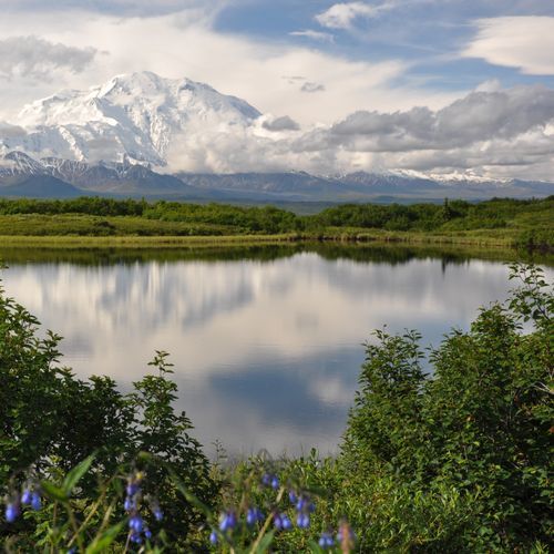
The campground at Mile 13 lies among spruce trees, and its 32 sites offer a moderate amount of screening from one another. When skies are clear, a brief stroll below the campground brings Mount McKinley into view. Showers and laundry are not available, and each site holds a maximum of eight people. Bears move through the campground in summer, and red squirrels and snowshoe hares are often spotted.
For a short walk with mountain views, the Mountain Vista Trail is an easy 0.6-mile loop at Mile 13. Sightings cannot be promised, since the animals roam wild land with no fences, but several kinds appear along this stretch, and the odds improve on longer bus rides farther down the road. Winds can be strong here, so pack extra layers.