Glacier Bay National Park & Preserve guide · 2 min read
Dry Bay and the Alsek River Preserve
Dry Bay is where the Alsek River splits into winding channels about five miles from the coast, spreading across a delta of roughly 80 square miles.
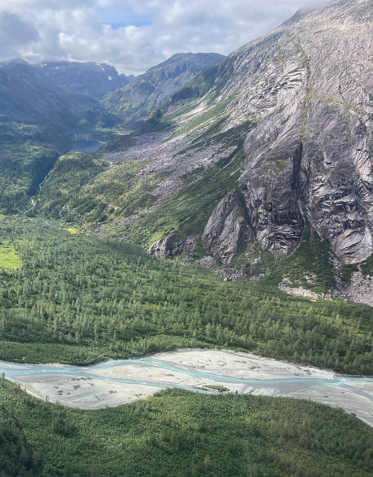
The name refers to stretches that are left bare at low tide and when river levels drop. Silt buildup and the gradual rise of land known as glacial rebound are making the river shallower. Sixty years ago, large cannery tenders could sail here, but today skiff fishermen have to pick their way carefully or risk running aground.
Rafting the Alsek means swift glacial water. Most trips start on the Tatshenshini at Shawshe, also known as Dalton Post, the final spot reachable by road off the Haines Highway in Yukon Territory, Canada. The usual finish at Dry Bay is 153 river miles downstream. A six-mile canyon near the start has continuous Class III whitewater, rising to Class IV at high water, and most of the rest is Class II. A typical trip lasts about nine days, and private trips need a permit.
Alsek Lake forms the northern edge of the preserve. To the east, the densely vegetated Deception Hills rise, and beyond them stands Mount Fairweather, at 15,300 feet the tallest peak in the park. It sits less than twenty miles from the Gulf of Alaska.
Climbers face a remote range. Mount Fairweather is one of the least visited high peaks in North America, and many nearby summits are unnamed, with little route information. The area gets over 100 inches of precipitation a year, and storms can delay the trip to base camp for days or force climbers to turn back. Some climbs take a month.
The preserve is managed differently from the national park. Hunting and trapping take place here, as does commercial fishing, and sport anglers can pursue both freshwater and saltwater fish. Visitors can reserve the Dry Bay Public Use Cabin.