
Glacier Bay National Park & Preserve guides
11 in-depth guides to Glacier Bay National Park & Preserve, in reading order: what to see, how to get around, and what to know before you go. Back to the Glacier Bay National Park & Preserve overview.
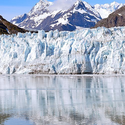
Getting to Gustavus by Plane or Ferry
Gustavus is the town most travelers pass through on the way to Glacier Bay National Park and Preserve, which is reachable only by air or sea.
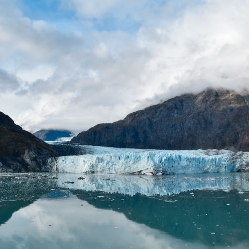
Rain Gear, Seasons and Winter Auroras
Ocean currents shape the weather here, giving Glacier Bay a maritime climate with mild winters and cool summers near sea level.
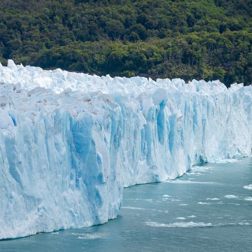
A Bay Born From Retreating Ice
Before the bay existed, there was ice. In 1794, a survey team from the expedition ship Discovery, captained by George Vancouver, first mapped Glacier Bay in detail, and the survey showed little more than an indentation in the shoreline.
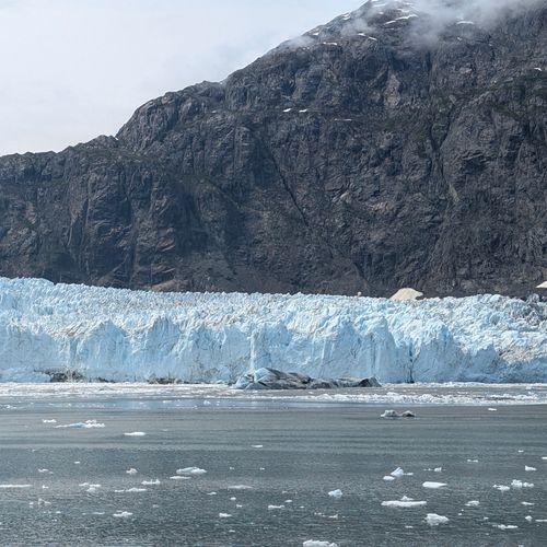
Cruise Ships and Rangers Aboard
Most visitors to Glacier Bay see it from a large cruise ship, a custom that has held for more than a century.
Sea Kayaking Glacier Bay's Protected Inlets
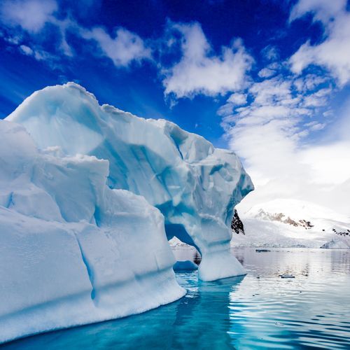
Sea kayaking is one of the most direct ways to experience the wilderness of Glacier Bay National Park and Preserve, where much of the park is water.
Hiking the Bartlett Cove Trail Network
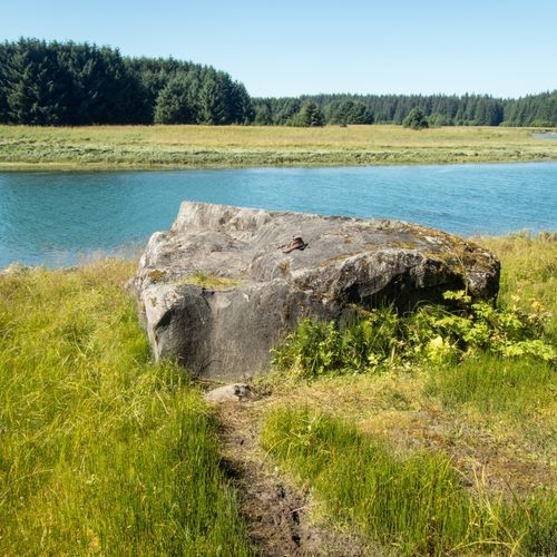
Bartlett Cove is the one developed corner of Glacier Bay, and its trails make an easy start.
Whales, Seals and Otters of Glacier Bay
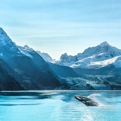
Each summer, humpback whales swim north from their winter range near Hawaii to feed in the bay.
Glacier Bay's 24-Foot Tides
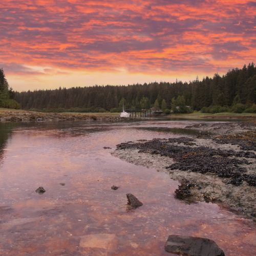
Glacier Bay's tides run on a diurnal cycle, so the water completes two full rounds every day.
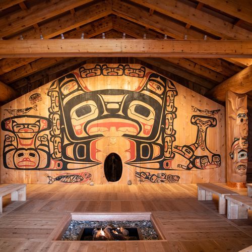
Tlingit Homelands of Glacier Bay
Two Tlingit ancestral homelands lie within the park and preserve, and they still carry cultural and spiritual weight for living communities.
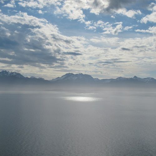
Bartlett Cove: The Park's Only Developed Hub
Bartlett Cove is the only developed area in Glacier Bay National Park, where most services and facilities are concentrated.
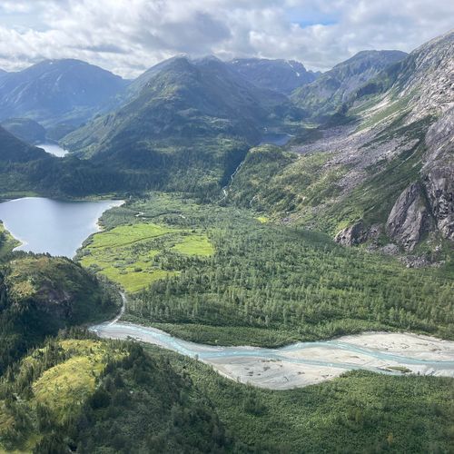
Dry Bay and the Alsek River Preserve
Dry Bay is where the Alsek River splits into winding channels about five miles from the coast, spreading across a delta of roughly 80 square miles.
