Glacier Bay National Park & Preserve guide · 1 min read
Glacier Bay's 24-Foot Tides
Glacier Bay's tides run on a diurnal cycle, so the water completes two full rounds every day.
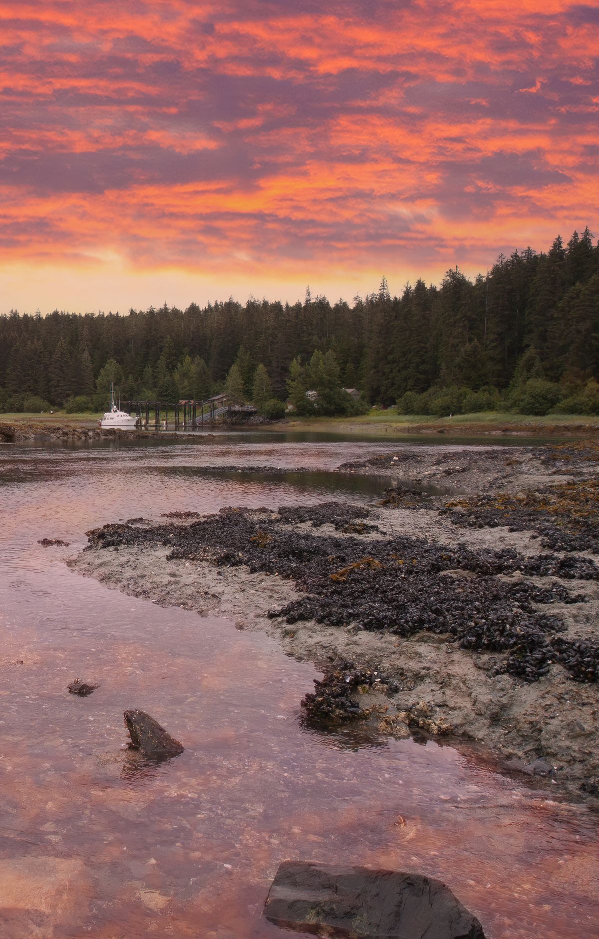
The range is roughly 24 to 25 feet, and the change from high water to low water takes about six hours. The rising stage is the flood, when water pushes into the bay and its narrower inlets. The outgoing stage is the ebb, when that water heads back out.
All this moving water stirs the bay constantly, and that tidal mixing drives a whole ecosystem. When the water drops, small animals left on the rocks and in shallow pools clamp shut to hold in moisture until the sea returns. Once the tide climbs back, mussels, snails, sea stars and limpets resume their work underwater.
Low water also brings brown bears down to the shoreline to eat. The newly exposed beach offers a meal to shorebirds as well.
Currents can reach seven knots in tight spots such as Sitakaday Narrows in the lower bay, and Adams Inlet and Berg Bay see similar conditions. Where water is squeezed through narrow passages, the surface can turn rough, with whirlpools and tidal rips. The strongest flow tends to arrive three to four hours after high water. Kayakers and small boat operators do best to plan around slack water or travel with the current.
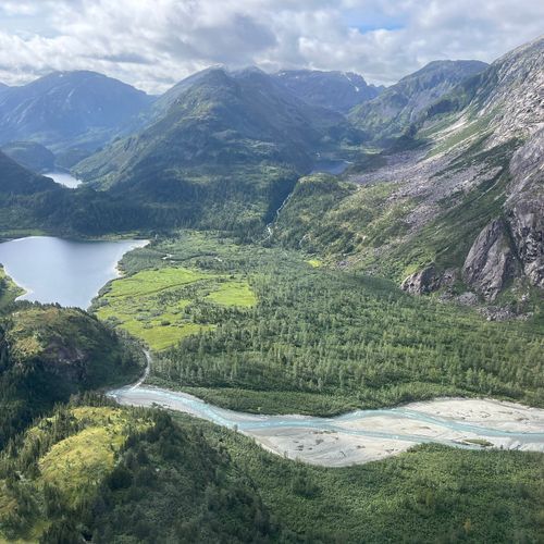
Dry Bay sits in the preserve about five miles from the open sea, where the Alsek River splits into winding channels across an 80 square mile delta. At low water on the ebb, and when the river runs low, parts of the delta are left bare, which explains the name. Silt building up in the channels and land rising through glacial rebound are making the Alsek shallower, so anglers in small skiffs must pick their course with care to avoid running aground.