Great Basin National Park guide · 1 min read
Basin and Range Peaks and Rock Glaciers
Nevada's last glacier lies on Wheeler Peak, the highest point in Great Basin National Park.
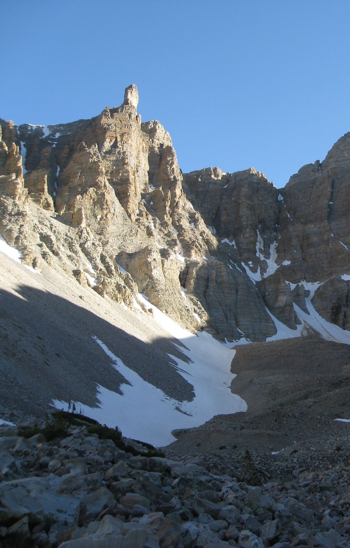
Known as the Wheeler Peak Glacier, it is a remnant of the ice ages and is now mostly covered in rock, so it looks more like a rock glacier than a sheet of ice. You can reach it on the Glacier Trail, a 4.8-mile hike that climbs through a forest of bristlecone pines before the glacier comes into view.
The park sits within the Basin and Range, a region where long mountain ranges rise above valleys. Faulting stretched and thinned the rock of the Snake Range, and later ice reshaped its peaks. Glaciers carved U-shaped valleys, cirques and moraines into the range, leaving the terrain rugged and steep.
The Wheeler Peak Scenic Drive follows the mountain slopes up to the point where the road can go no farther. Along the way the landscape shifts from desert to alpine country, a change you can notice as the elevation climbs.
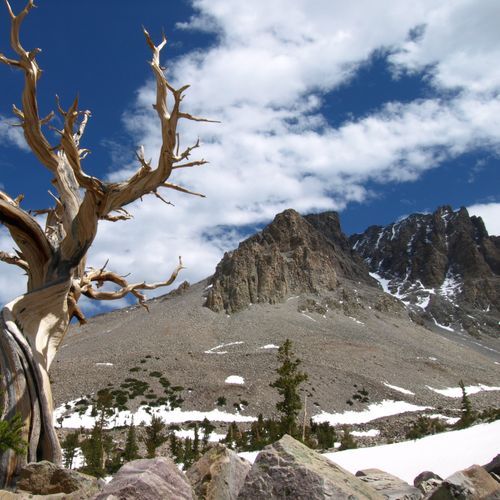
Bristlecone and limber pines grow between 9,500 and 11,000 feet, an elevation where few other trees can survive. Bristlecone pines are among the longest-lived trees, with some enduring for thousands of years. A trail leads to a grove of these ancient trees, and the path continues on toward the glacier.
One loop route passes Teresa and Stella lakes. Each lake sits in a cirque, a hollow that glaciers gouged out of the mountainside. Hikers can leave the road behind to explore more of this ice-sculpted country, and along the way plants show how they hang on in thin air, shallow soils and strong winds.