Great Basin National Park guide · 2 min read
Baker Creek: Late-Season Trails and Alpine Lakes
Baker Creek is among the areas of Great Basin National Park you can reach latest into the year, and it sees far fewer visitors.
To get there, turn off Highway 488 inside the park boundary and follow Baker Creek Road. This dirt and gravel route runs 3.5 miles. About 1.5 miles down the road, signs mark the Pole Canyon Trailhead. The main Baker Creek Trailhead sits at the far end, at the top of a small loop.
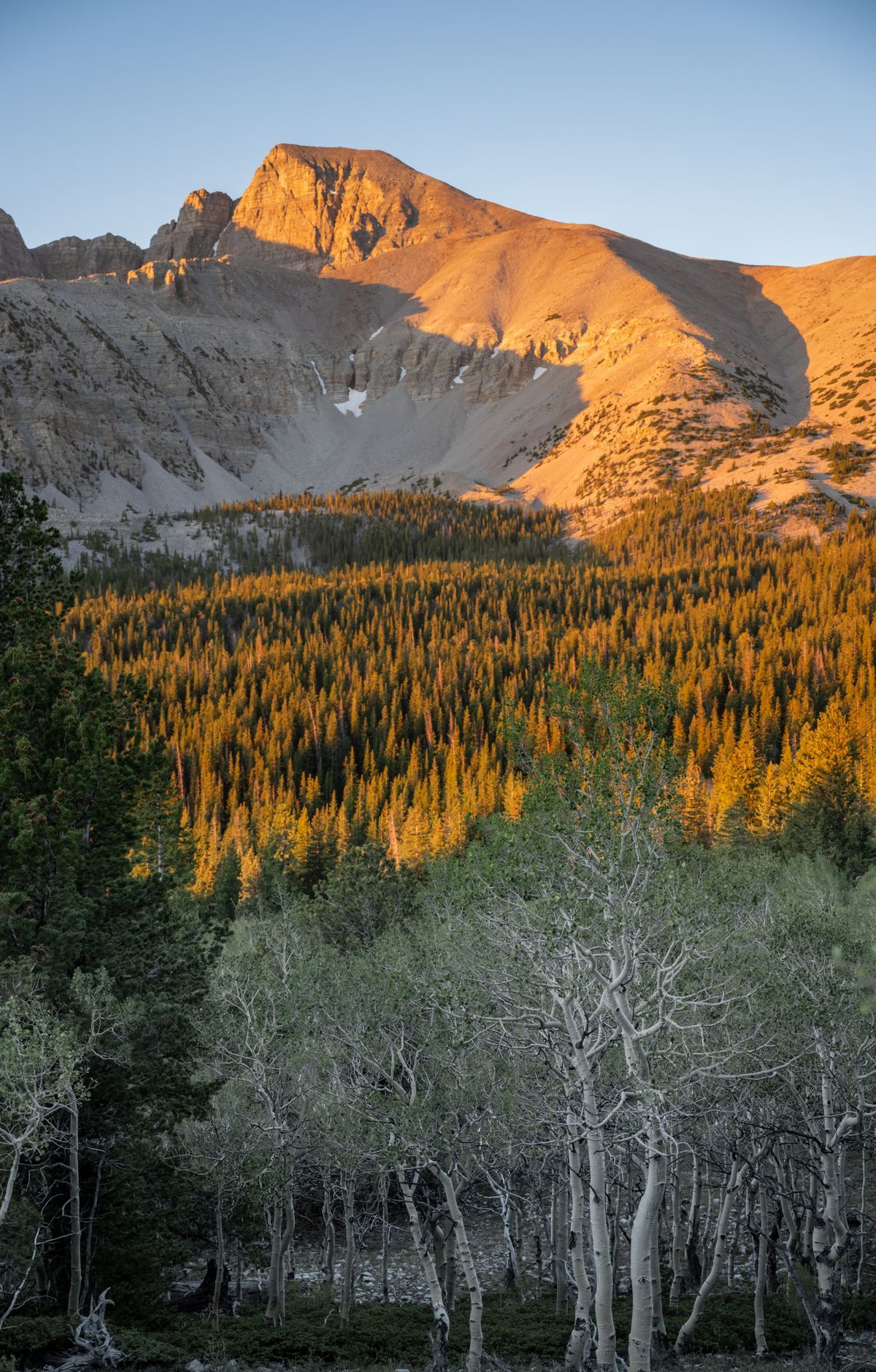
The Baker Creek Loop is a good place to start. The 3.3-mile circuit winds through conifers, low sagebrush and grassy meadows, with about 850 feet of climbing. Most people finish it in one and a half to three hours. In spring, wildflowers often color the fields near the trailhead, and in winter the top of the loop can be a pristine snowfield you reach on snowshoes. Pack in all the water you will need, since none is available along Baker Creek Road.
Past the loop, the backcountry climbs toward higher ground. Baker Lake sits in a glacial cirque and counts among the largest mountain lakes in the park, with snow often lingering on its rocky shore. The day hike covers 10.4 miles round trip and gains 2,610 feet, and it is strenuous as a day trip but fairly manageable overnight. Johnson Lake lies roughly eight miles round trip from the Snake Creek Trailhead, and hikers can approach it from the north starting at the Baker Creek Trailhead.
The Baker and Johnson Lakes Loop is the park's most popular backcountry route. Roughly 12 miles long, it passes mountain lakes and glacial cirques, and it can be walked in anywhere from one day to two weeks. Reservations are needed for the loop. For a looser plan, Baker Creek Campground offers first-come, first-served sites, suited to travelers who prefer to decide on the day.