
Great Smoky Mountains National Park hiking guide
Kuwohi Trail (Clingman's Dome)
A 1.2-mile out-and-back with 320 ft of climbing in Clingmans Dome, rated moderate.
Key facts
- Length
- 1.2 mi (2.0 km)
- Elevation gain
- 320 ft (96 m)
- Route type
- Out and back
- Difficulty
- Moderate
- Area
- Clingmans Dome
- Highest point
- 6,644 ft
- Lowest point
- 6,309 ft
- Paved
- Yes
About Kuwohi Trail (Clingman's Dome)
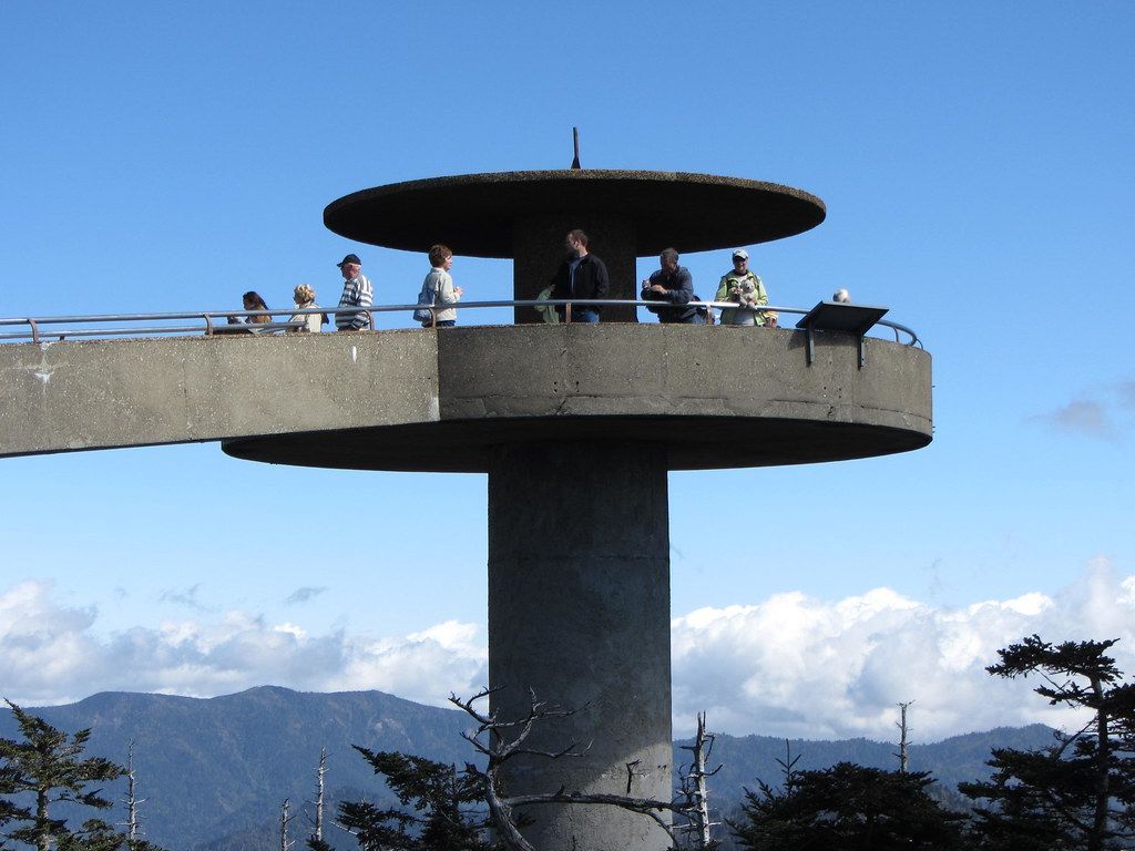
Walk a steep, paved path through high-elevation spruce-fir forest to a round observation tower on Kuwohi (formerly Clingmans Dome), the highest peak in the Smokies, offering panoramic 360-degree views. It connects with the Appalachian Trail and offers stunning vistas, especially during sunrise and sunset.
Route map
This route was checked by Parka editors.
