
Hawaiʻi Volcanoes National Park hiking guide
Mauna Loa Trail
A 36.9-mile out-and-back with 7,050 ft of climbing in Kīlauea Visitor Center Area, rated extreme.
Key facts
- Length
- 36.9 mi (59.3 km)
- Elevation gain
- 7,050 ft (2,148 m)
- Route type
- Out and back
- Difficulty
- Extreme
- Area
- Kīlauea Visitor Center Area
- Highest point
- 13,682 ft
- Lowest point
- 6,669 ft
- Trip length
- Multi-day
About Mauna Loa Trail
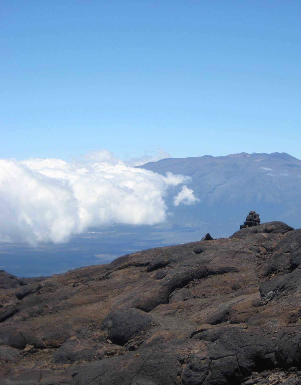
Crossing the slopes of a massive shield volcano, the trail climbs from forest with native plants into stark lava fields. Underfoot, loose jagged lava and steep slopes slow progress, and cairns mark the way, hard to follow in low visibility. The upper stretches sit at high altitude, so allow time to acclimate before setting out. Plan for a long day, and expect the rim of Moku'āweoweo caldera at the top.
Route map
This route was checked by Parka editors.
