Isle Royale National Park guide · 2 min read
Ancient Copper Pits and Failed Mines
Native people from nearby Minnesota and Ontario came to Isle Royale to hunt long before it became a national park.
Copper objects found at mound and village sites date back as far as 3000 before the common era, and they were most likely made from metal mined on the island and the nearby Keweenaw Peninsula. Early inhabitants dug hundreds of pits and trenches, reaching as deep as 65 feet, and most cluster around McCargoe Cove.
Carbon-14 testing of wood fragments recovered from the sockets of copper tools suggests that some of these objects are at least 6,500 years old. Abandoned copper mine shafts are also part of the island's mining story. Estimates of the total copper taken from the region remain disputed, since some researchers consider earlier figures to rest on exaggerated assumptions.
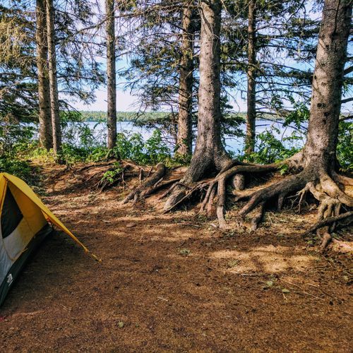
The Island Mine Trail meets the Greenstone Trail at a junction, and the Island Mine Campground lies on the trail half a mile south of that point. The campground is inland and has no boat access. The Little Siskiwit River runs south of it, and its water can usually be collected for filtering. Food storage lockers are available at the site.
The Greenstone Trail follows Greenstone Ridge, the island's main ridge, which rises more than 1,000 feet in many places. At 42.2 miles one way and rated moderate, it is the best known trail on the island, running from Windigo to Lookout Louise. Shorter hikes include Suzy's Cave, a 3.8 mile easy loop, and Lookout Louise, a strenuous one mile trail that looks out over Duncan Bay.
Backcountry camping and longer hikes both need careful planning, given how remote the park is. Reaching the west end of the island from the mainland takes a canoe voyage of thirteen miles, and the island sits 56 miles across Lake Superior from the Keweenaw Peninsula. Visitors should plan well ahead.