
Isle Royale National Park hiking guide
Minong Ridge Trail
A 25.8-mile point-to-point with 2,990 ft of climbing in Windigo, rated difficult.
Key facts
- Length
- 25.8 mi (41.5 km)
- Elevation gain
- 2,990 ft (910 m)
- Route type
- Point to point
- Difficulty
- Difficult
- Area
- Windigo
- Trip length
- Multi-day
About Minong Ridge Trail
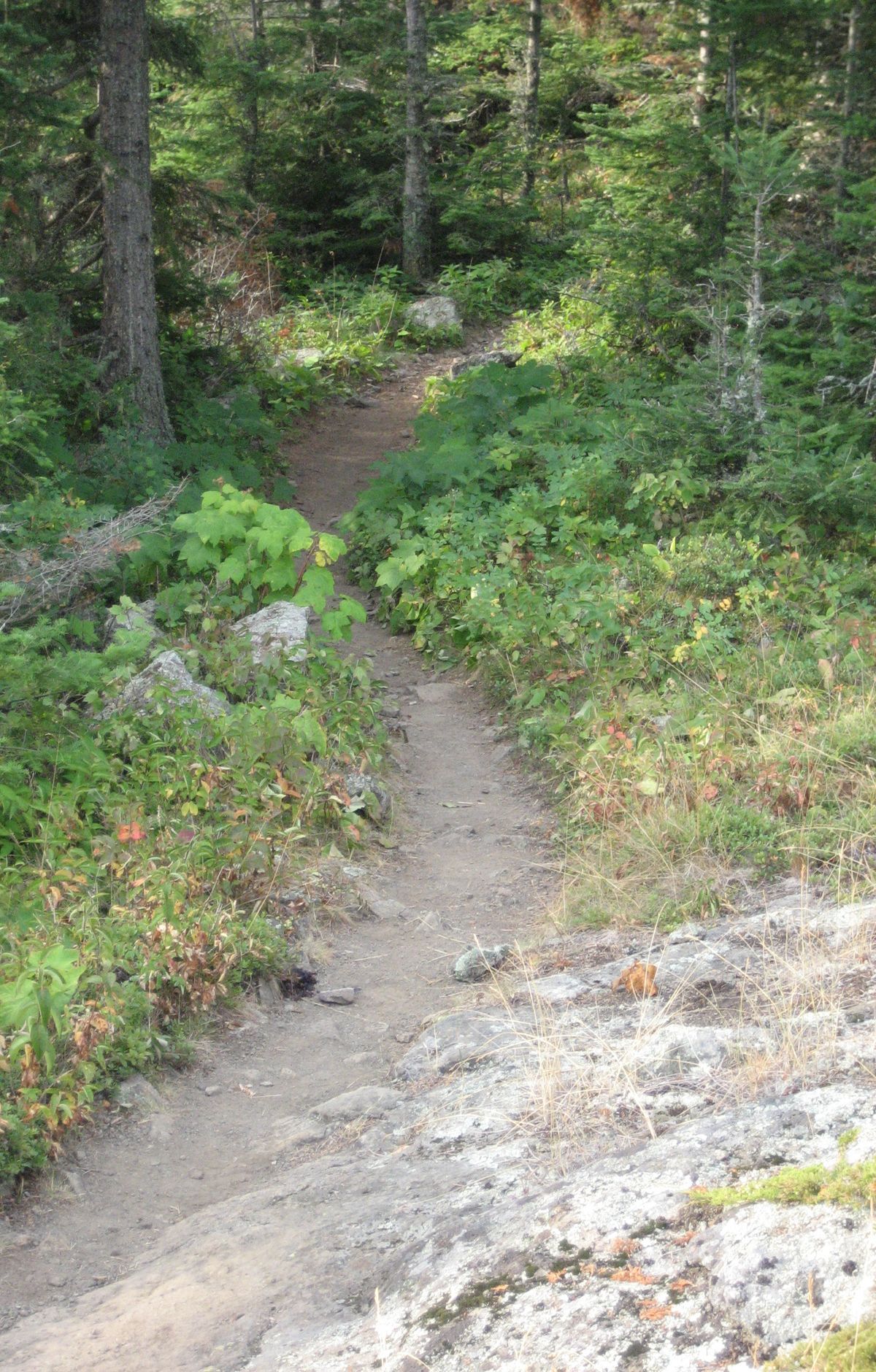
The trail crosses the western part of the island over exposed rocky ridges, passing maple forest, creeks and open views of Lake Superior and the Canadian shoreline. Beaver dams along the way are walked rather than skirted, so trekking poles help. Parts are marked only by cairns, so bring a map, compass and navigation skills, and carry water since none is easily reached on the trail.
Route map
This route was checked by Parka editors.
