
Joshua Tree National Park hiking guide
Lost Palms Oasis Trail
A 7.6-mile out-and-back with 1,050 ft of climbing in Cottonwood Springs, rated moderate.
Key facts
- Length
- 7.6 mi (12.2 km)
- Elevation gain
- 1,050 ft (319 m)
- Route type
- Out and back
- Difficulty
- Moderate
- Area
- Cottonwood Springs
- Highest point
- 3,445 ft
- Lowest point
- 2,985 ft
About Lost Palms Oasis Trail
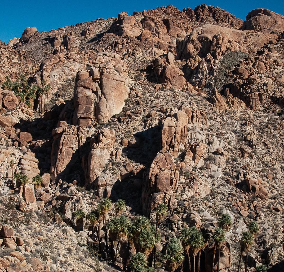
The route starts from Cottonwood Spring and crosses sandy washes and rolling desert hills before dropping into the canyon. At the bottom, a grove of fan palms surrounds one of the desert's rare water sources, and the plants nearby draw birds and other wildlife. The final stretch is rocky, and the climb back out takes the most effort. The route can be combined with the Mastodon Peak trail for a longer day.
Route map
This route was checked by Parka editors.
