
Joshua Tree National Park hiking guide
Mastodon Mine Loop Trail
A 2.4-mile loop with 440 ft of climbing in Cottonwood Springs, rated moderate.
Key facts
- Length
- 2.4 mi (3.8 km)
- Elevation gain
- 440 ft (133 m)
- Route type
- Loop
- Difficulty
- Moderate
- Area
- Cottonwood Springs
- Highest point
- 3,338 ft
- Lowest point
- 2,963 ft
About Mastodon Mine Loop Trail
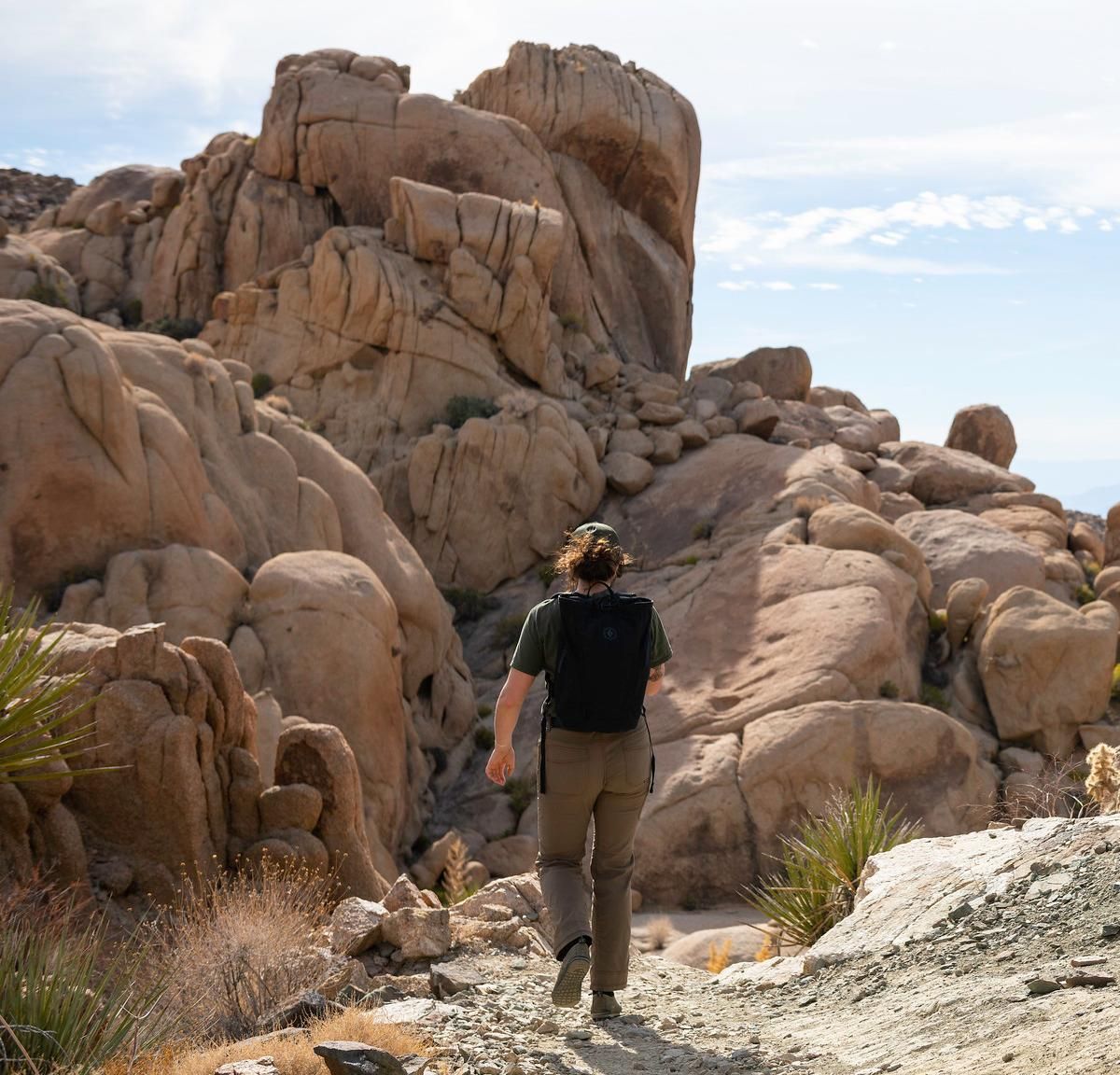
The loop starts at Cottonwood Spring, where a palm-lined oasis gives way to sandy and rocky ground. Ocotillo lines the climb, and views back over the oasis open up as you gain height. At the top of the granite peak, an optional rock scramble leads to broad views across the southern park, and the route passes remnants of the Mastodon Mine along the way.
Route map
This route was checked by Parka editors.
