Parka
Mammoth Cave National Park

Trails in Mammoth Cave National Park

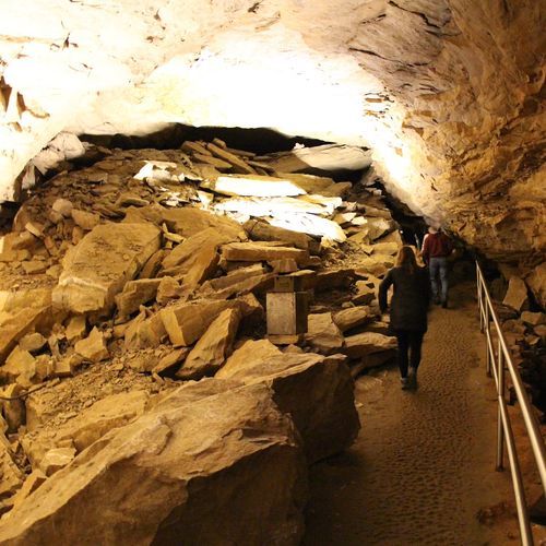
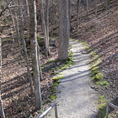
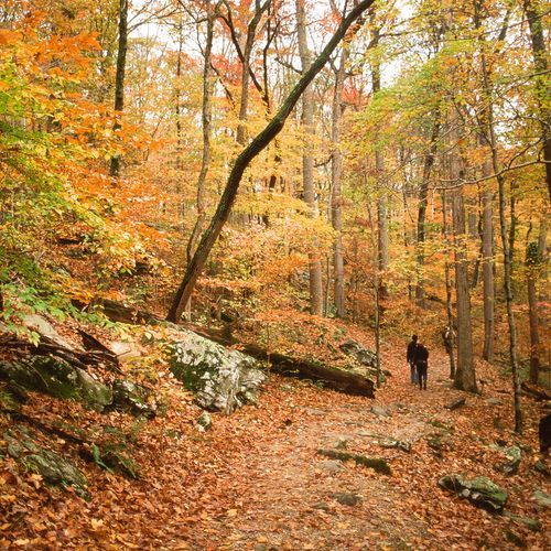
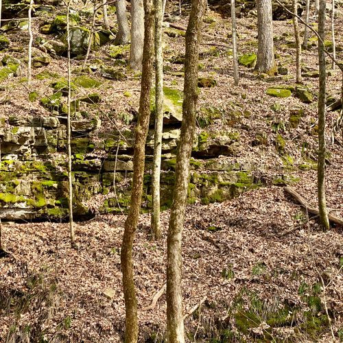
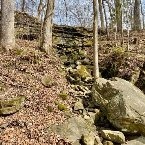
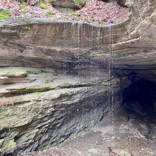
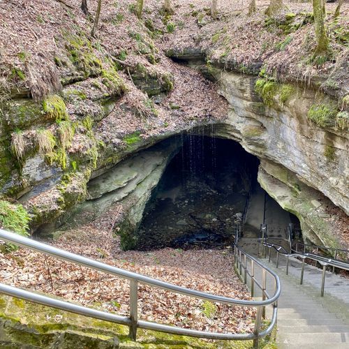
Mammoth Cave National Park’s hiking trails offer a refreshing above-ground counterpart to its celebrated underground world. Around the visitor center and south side of the Green River, easily linked paths make it simple to tailor a walk to the time you have—whether that means a short leg-stretcher between cave tours or a longer day wandering through hardwood forest, past springs, historic sites, and river overlooks. These trails are especially appealing for families and casual hikers, with accessible options including the short, level Heritage Trail to Sunset Point. For a more substantial outing, the nine-mile Mammoth Cave Railroad Bike and Hike Trail follows the route of the historic railroad that once delivered early visitors to the cave. It combines local history with wooded scenery, interpretive stops, and overlooks, though its hills and grades add a little more effort than the visitor-center paths. Across the Green River, the park’s north-side backcountry trail network opens into a wilder landscape, with more than 60 miles of routes for hikers seeking solitude, longer mileage, and a deeper immersion in Kentucky’s rolling forest country. What makes hiking here special is the sense of exploring the landscape that created Mammoth Cave in the first place. Trails cross the karst terrain above the world’s longest known cave system, where wooded ridges, sinkholes, streams, and river valleys hint at the vast hidden passages below. Pair a cave tour with a hike, and Mammoth Cave becomes far more than a subterranean destination—it is a richly layered park best experienced from both beneath the ground and under the trees.

Cedar Sink Trail

1.1 mi420 ft gain

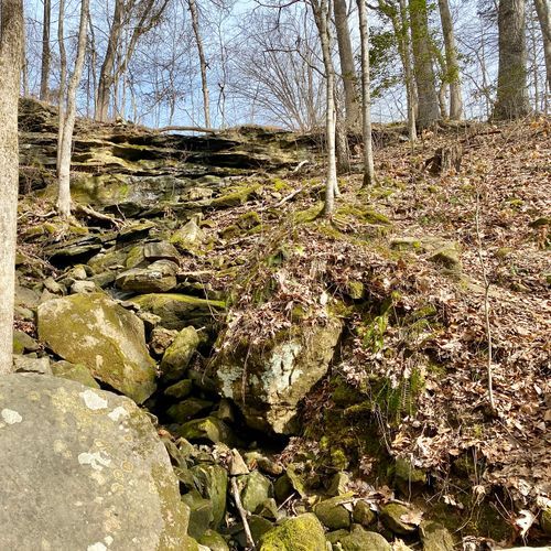
This loop begins at a trailhead and drops down a set of stairs into a large sinkhole, where the ground inside is fairly flat and stable. The route follows a rolling dirt path through forest habitat, and the sinkhole is known for a varied display of wildflowers in spring and summer. Because the descent and climb back out involve many stairs, it suits visitors who are comfortable on steps. Service animals are welcome.
Mammoth Cave Railroad Bike & Hike Trail

Mammoth Cave Railroad Bike & Hike Trail

8.6 mi1,030 ft gain

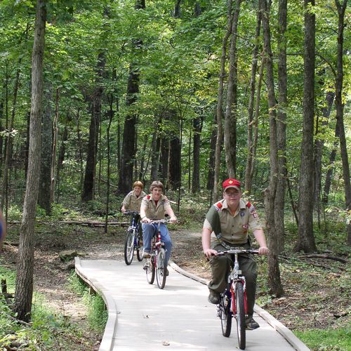
This former rail line once carried visitors to nearby caves, and its old roadbed now serves cyclists and walkers. Historic sites, interpretive waysides and scenic overlooks line the way, so there are plenty of stops along the route. Expect some hills and steep grades, so walk your bike at road crossings and wherever signs ask. Helmets are recommended for all riders, and children should stay close by.

Echo River Springs Trail

Echo River Springs Trail

1.2 mi170 ft gain

This accessible path leads to overlooks where an underground river surfaces from the cave and flows into the Green River. Boardwalks and clear glass panels at the viewpoints make the springs clearly visible from a wheelchair, and tactile wayside exhibits with audio explain the local history, water and wildlife. The route runs through woods and wildflowers, and it starts from the Green River Ferry parking lot, where a small accessible picnic area sits.

Green River Bluffs Trail

Green River Bluffs Trail

1.4 mi440 ft gain

Native wildflowers bloom along this trail, which runs past the bluffs overlooking the Green River. Ranger-led nature hikes have covered the seasonal plants and wildlife of this landscape. Several overlooks lie within a short walk, and Dixon Cave is nearby, making it a natural companion to a stop at the Mammoth Cave Visitor Center.

Heritage Trail

Heritage Trail

0.6 mi67 ft gain

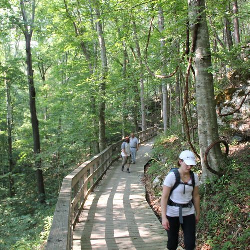
This accessible loop starts near the visitor center and runs mostly on a raised wooden walkway. It passes the site of the original Mammoth Cave Hotel, the Sunset Point overlook, and the Old Guide's Cemetery, tracing the people and activities behind the park's early history. Railings and benches line the route, and low ramps ease the start, so visitors of all mobility levels can enjoy it.

Mammoth Cave Rail-Trail

Mammoth Cave Rail-Trail

0.5 mi54 ft gain

This path follows part of a former rail line that once carried tourists to the area's caves. Along the way you'll come across landmarks, information stops and lookouts, and access points include Park City and the visitor center area. Expect hills and steep grades, and walk your bike at road crossings, since helmets are recommended for all riders.

River Styx Spring Trail

River Styx Spring Trail

0.6 mi300 ft gain

This trail drops through the woods to the Green River, where the cave's underground water flows out into daylight as a spring. Along the way, native wildflowers, ferns and bushes line the path, and steep hills make the climb back up the bluffs more demanding. Nearby Sunset Point and Dixon Cave are convenient to pair with the walk for a fuller outing along the river.

Sand Cave Trail

Sand Cave Trail

0.1 mi22 ft gain

A wheelchair-accessible boardwalk leads to the spot where Floyd Collins became trapped in a cave, a famous and tragic episode in the park's history. Wayside exhibits line the way and tell his story step by step. The trailhead sits near the park's eastern entrance off Cave City Road, and a viewpoint lies within walking distance.

Sunset Point Trail

Sunset Point Trail

0.3 mi200 ft gain

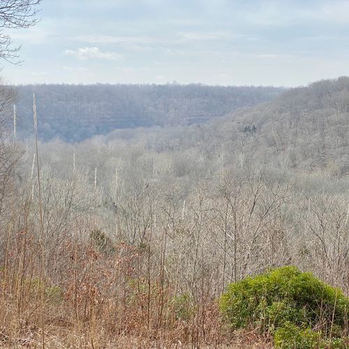
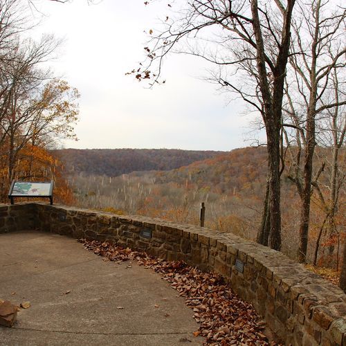
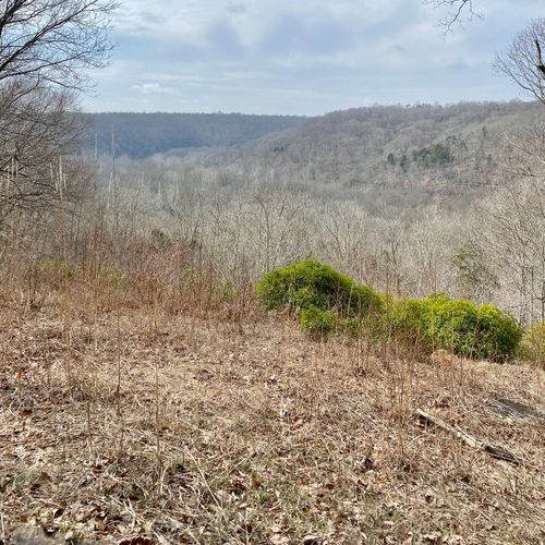
A ridge-top walk leads to Sunset Point, where the view opens over the Green River Valley and the rolling hills of Kentucky's karst country. Spring brings fresh foliage to the slopes, and autumn brings vivid color, so both seasons are rewarding times to visit. The path runs above the cave system, so you look out over the land that sits on top of the passages below.

Turnhole Bend Trail

Turnhole Bend Trail

4.5 mi900 ft gain

Short walk to a river bend with two viewpoints nearby

First Creek Trail

6.3 mi1,740 ft gain

This backcountry route in the northern part of the park starts at the Temple Hill trailhead off Houchins Ferry Road and crosses that road near the park's northern boundary. About a mile north of the trailhead, the path reaches a scenic lake. Short spur trails lead to two backcountry campsites along the way.

Sinkhole Trail

Sinkhole Trail

1.0 mi370 ft gain

This trail starts from the Heritage Trail and the Echo River Springs Trail, close to the visitor center area. It also meets the River Valley Trail, so it works well as a link between longer routes. Sunset Point, a viewpoint, lies a short walk away, and the Latern Cafe and visitor center are close by for a stop before or after.

Big Hollow Trail North Loop

Big Hollow Trail North Loop

4.6 mi500 ft gain

Mountain bikers weave along single-track through dense woodland and around rocky outcrops on the north side of Mammoth Cave National Park. The loop begins at the Big Hollow Trailhead, reached through Maple Springs Campground, and connects into a wider network of north side backcountry trails. Expect rocky footing and shaded forest as you ride.

Big Hollow Trail South Loop

Big Hollow Trail South Loop

2.5 mi380 ft gainLoop

Single-track mountain biking is the draw on this southern section of the Big Hollow network, where the path weaves through thick woods and past rocky outcrops. It leaves from the North Loop junction, so it pairs well with the northern circuit. Rocky stretches call for steady attention, so ride at a pace that suits your skills. Sunset Point Trail and River Styx Spring Trail are a short walk away for hikers in the group.

Big Hollow Trail South Loop Connector

5.4 mi550 ft gain

This connector links the Big Hollow trail system with the trailhead inside Maple Springs Campground, giving riders a route between the two. The narrow single-track winds through dense woodland and past rocky outcroppings, so the surroundings feel shaded and rugged. Expect a bike-oriented tread where rocky stretches can make footing uneven.

Big Hollow Trailhead Connector

Big Hollow Trailhead Connector

0.3 mi33 ft gain

This short link connects a loop trailhead to the one at Maple Springs, so riders can move between them without backtracking. The route is a mountain bike path through woods and rocky ground, and it sits within a larger network of loops. Maple Springs Group Campground is a short walk away, making it a handy way to start or finish a ride from camp.

Blair Springs Hollow Trail

Blair Springs Hollow Trail

7.7 mi1,460 ft gainLoop

Backcountry link from Collie Ridge to Wet Prong with a campsite spur

Buffalo Creek Trail

Buffalo Creek Trail

23.3 mi4,960 ft gain

This backcountry route begins at the Maple Springs Trailhead, a short walk from Maple Springs Group Campground, which makes it a convenient start for campers. Partway along, the Dry Prong Trail branches off, and a spur from there leads to the Homestead Campsite. The same trailhead also gives access to the Sal Hollow Trail, so visitors can choose among several backcountry routes from one starting point.

Campground Trail

Campground Trail

0.3 mi69 ft gain

Short woodland path beginning steps from Mammoth Cave Campground

Collie Ridge Trail

4.5 mi850 ft gain

This backcountry route begins at the Lincoln Trailhead on the park's northern boundary. A side path leads to a backcountry campsite, and the trail meets the Blair Springs Hollow Trail, so it can be linked with other backcountry paths for a longer outing. Check a map at each junction, since several connectors branch off along the way.

Dixon Cave Trail

Dixon Cave Trail

0.4 mi170 ft gain

This trail leads from the Historic Entrance area to a view of Dixon Cave, one of the historic cave entrances in the visitor center area. The surrounding trails offer ridgetops, river views, sinkholes and cave-fed springs, so the walk is a good way to see the park's varied landscape. Because it starts near the busy visitor center, it pairs well with a visit to the Historic Entrance or nearby overlooks.

Dry Prong Trail

2.2 mi410 ft gain

Backcountry link from Buffalo Creek Trail to a homestead campsite

Maple Springs Connector Trail

Maple Springs Connector Trail

0.9 mi100 ft gain

This connector links the Big Hollow Trailhead with the Maple Springs Trailhead, giving riders a way between the two areas. Expect a narrow, winding route through dense forest, with rocky outcroppings breaking up the ground along the way. Maple Springs Group Campground is a short walk away, making it a convenient base for a longer day of riding on the wider trail network.

McCoy Hollow Trail

6.2 mi1,590 ft gain

This backcountry trail begins at the Temple Hill Trailhead on Houchins Ferry Road, a trailhead it shares with the First Creek Trail. It also starts from the Wet Prong Trail, so it can be linked with that route for a longer outing. The Temple Hill Cemetery is located nearby, so visitors can pause for a look before heading out onto the trail.

Mill Branch Trail

3.8 mi840 ft gainLoop

Short walk from Maple Springs Group Campground

Raymer Hollow Trail

6.0 mi1,040 ft gain
River Valley Trail

River Valley Trail

0.3 mi150 ft gain

Within walking distance of Sunset Point and Echo River Springs

Sal Hollow Trail

8.3 mi1,580 ft gain

Backcountry hollow route linking to the Bluffs Campsite Trail

Sloans Crossing Pond Walk

0.4 miLoop

A boardwalk loops around the edge of a marshy pond, letting you look over the water and reeds up close. Wayside exhibits along the way explain the pond's unusual environment, and turtles, frogs and red-winged blackbirds are often spotted here. The route is wheelchair accessible, and a picnic area beside the pond makes it a pleasant place to linger.

Wet Prong Trail

3.6 mi640 ft gain

Backcountry connector between Blair Springs and McCoy Hollow trails

White Oak Trail

0.9 mi250 ft gain

This trail begins at its own trailhead on the north side of Mammoth Cave National Park, an area with a network of backcountry trails for hiking and horseback riding. Access is from Ollie Ridge, Houchin Ferry North or Dennison Ferry roads, with the Lincoln, First Creek and Temple Hill trailheads nearby. Check the park map before you go to plan a route across the north side.

White's Cave Trail

White's Cave Trail

0.6 mi150 ft gain

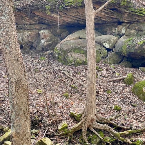
This trail sits on the south side of Mammoth Cave National Park, within a short walk of Sunset Point, the Heritage Trail and the park theater. It crosses the hilly, limestone landscape that shaped the cave system beneath it, where sinkholes and rock carved by dissolving water are common. Sturdy shoes are a good idea on uneven ground, and pairing the walk with a stop at Sunset Point makes a pleasant outing.

Length is the full route as drawn on the Parka map, so out-and-back trails count both directions. Gain is the total ascent over that route.

Get offline trail maps and detailed hiking info in the Parka app

Download Parka — It's Free

Get offline trail maps for Mammoth Cave National Park

Free on the App Store

Get Parka

Why Park Lovers Choose Parka

Trip Planner

All the tools for epic adventures

Works Offline

Fully functional without cell service

Updated Weekly

Trail conditions, alerts, and closures

Try Risk-Free

7-day free trial, cancel anytime

Start Your 7-Day Free Trial

Unlock everything you need for your next national park trip. Your first week is on us!

National Park vista

Start your adventure today

Download Parka and plan your perfect national park trip in minutes.

Explore All 63 National Parks

Browse parks by region and discover your next adventure