Parka

New River Gorge National Park & Preserve hiking guide

Long Point Trail

A 3.1-mile loop with 370 ft of climbing in Canyon Rim, rated easy.
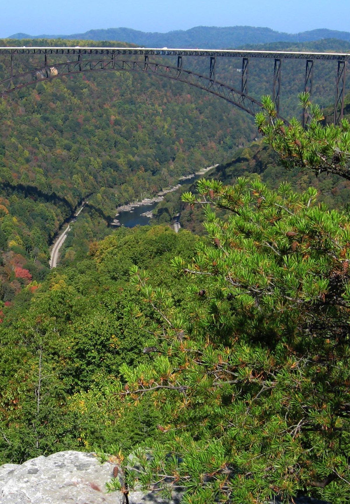
Long Point Trail, New River Gorge National Park & Preserve
Photo: NPS/Dave Bieri

Key facts

Length
3.1 mi (4.9 km)
Elevation gain
370 ft (114 m)
Route type
Loop
Difficulty
Easy
Area
Canyon Rim
Highest point
1,963 ft
Lowest point
1,681 ft

About Long Point Trail

Most of this route stays fairly level through forest before a steep final descent to an overlook that looks out over the New River Gorge Bridge. The first part is accessible to a boardwalk where forest regrowth and wildlife draw watchers, but the overlook itself is not. Mountain bikers share much of the path, so keep an eye and ear out on the way.

Route map

Route map of Long Point Trail in New River Gorge National Park & Preserve0.5 miN
Start and finishNorth is up. Drawn from the route in the Parka app.

This route was checked by Parka editors.

Elevation profile

Elevation profile of Long Point Trail1,7001,8001,900012Distance (miles)Elevation (ft)High 1,963 ftLow 1,681 ft
Elevation runs from 1,681 ft to 1,963 ft over 2.8 miles of mapped route. The profile is sampled from elevation data along the route.

Nearby in Canyon Rim

Why Park Lovers Choose Parka

Trip Planner

All the tools for epic adventures

Works Offline

Fully functional without cell service

Updated Weekly

Trail conditions, alerts, and closures

Try Risk-Free

7-day free trial, cancel anytime

Start Your 7-Day Free Trial

Unlock everything you need for your next national park trip. Your first week is on us!

National Park vista

Start your adventure today

Download Parka and plan your perfect national park trip in minutes.

Explore All 63 National Parks

Browse parks by region and discover your next adventure