
Olympic National Park hiking guide
Deer Lake Trail
A 6.6-mile out-and-back with 1,820 ft of climbing in Sol Duc Valley, rated moderate.
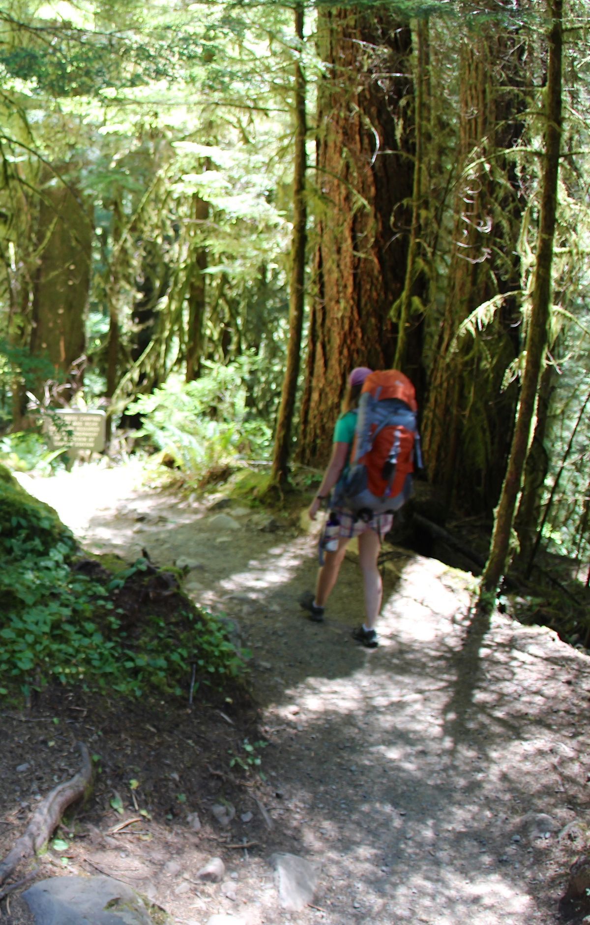
Key facts
- Length
- 6.6 mi (10.6 km)
- Elevation gain
- 1,820 ft (553 m)
- Route type
- Out and back
- Difficulty
- Moderate
- Area
- Sol Duc Valley
- Highest point
- 3,540 ft
- Lowest point
- 1,911 ft
About Deer Lake Trail
Deer Lake Trail is located in Olympic National Park's Deer Park / High Divide / Seven Lakes Basin area. The route passes through montane and old‑growth forest and subalpine meadows near Deer Lake and is often used as part of the High Divide / Seven Lakes Basin loop. Deer Park is an alpine area reached by a long, winding gravel road. Backpacking in this area requires a wilderness permit, and all food, garbage, and scented items must be stored in park‑approved bear canisters.
Route map
This route was checked by Parka editors.
