
Olympic National Park hiking guide
High Divide Traverse
A 46.5-mile loop with 47,500 ft of climbing in Sol Duc Valley, rated extreme.
Key facts
- Length
- 46.5 mi (74.8 km)
- Elevation gain
- 47,500 ft (14,480 m)
- Route type
- Loop
- Difficulty
- Extreme
- Area
- Sol Duc Valley
- Trip length
- Multi-day
About High Divide Traverse
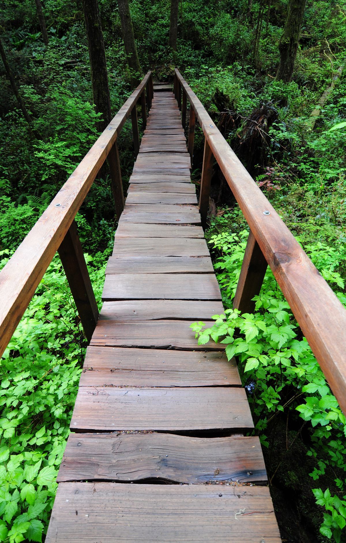
Winding through ecosystems, from low-elevation old-growth rainforest and montane forest to subalpine meadows and high basins, the traverse offers breathtaking vistas of the glaciated peaks of Mount Olympus and views of numerous alpine lakes, including the Seven Lakes Basin. The route moves from dense old-growth forest up into subalpine environments where wildlife such as American black bears and Roosevelt elk may be encountered, and at higher points hikers are rewarded with expansive ridge views and colorful seasonal vegetation.
