
Rocky Mountain National Park hiking guide
Glacier Gorge Trail
An 11.5-mile out-and-back with 2,520 ft of climbing in East Side, rated difficult.
Key facts
- Length
- 11.5 mi (18.5 km)
- Elevation gain
- 2,520 ft (767 m)
- Route type
- Out and back
- Difficulty
- Difficult
- Area
- East Side
About Glacier Gorge Trail
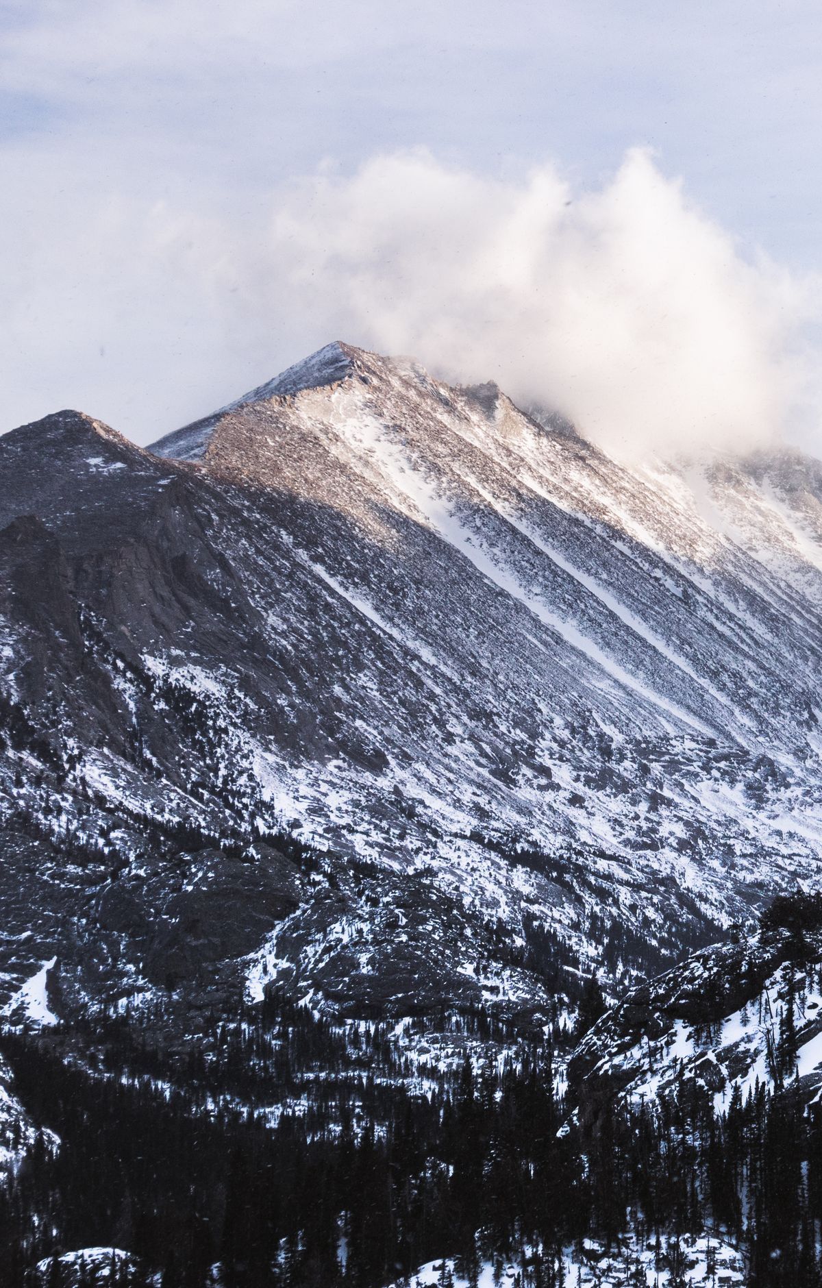
Glacier Gorge Trail winds through a dramatic landscape carved by glaciers, featuring cascading waterfalls, alpine lakes, and towering granite cliffs. The Glacier Gorge Trailhead is a gateway to popular destinations such as Alberta Falls, Mills Lake, and The Loch. Because this corridor is one of the park's most heavily visited areas year-round (the Glacier Gorge parking area often fills early), plan ahead and use Park & Ride/Bear Lake Shuttle or arrive early if you expect crowds.
