Saguaro National Park guide · 1 min read
Backpacking to Manning Camp at 8,000 Feet
Manning Camp sits at 8,000 feet in the Rincon Mountain District, on the eastern side of Saguaro National Park.
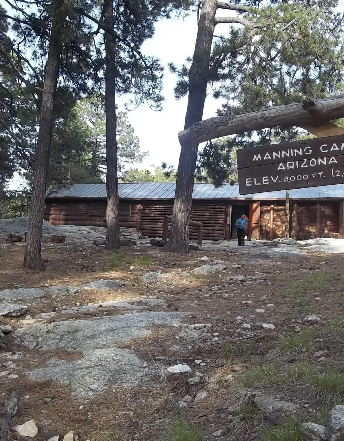
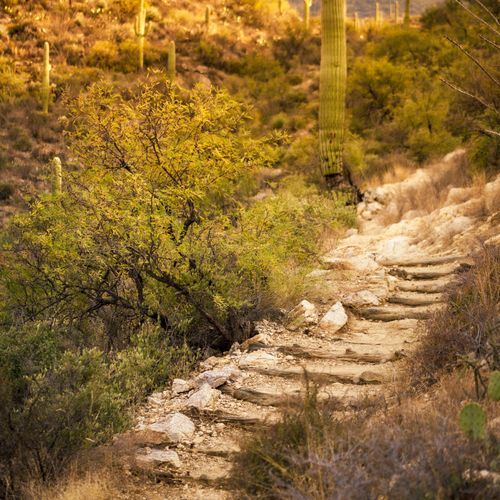
Reaching it on foot is a substantial trip. Your route length depends on where you start, and it ranges from 9 to 18 miles with 5,500 to 6,500 feet of climbing. As you climb, the trail moves through several distinct habitats, from streamside zones to dry rock cliffs, and the views keep opening up.
Up here the air is far cooler than the desert scrub near the Visitor Center. Ponderosa pines provide most of the shade, and temperatures rarely top 85 degrees, a welcome relief from the heat in the valley below. Water is reliable here: a source that runs year-round near the cabin has dried up only twice in the park's history. A sign points you down the slope to reach it.
Levi Manning, a former mayor of Tucson, built the Manning Cabin in 1905 so his family would have a place to spend summers in the mountains. It was the first retreat of its sort to go up in the Rincon Mountains. These days the site also supports fire and natural resource research, and it has six campsites.
Backcountry camping here is permitted all year, but you need a reservation made on recreation.gov to stay overnight. Because the park draws many visitors, plan ahead for busy periods. Booking windows differ by facility, so check each listing before you go.
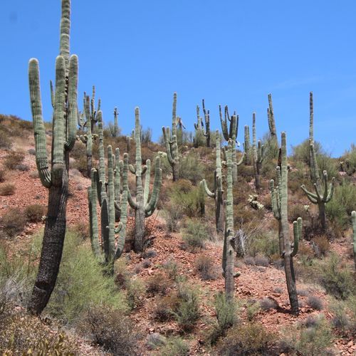
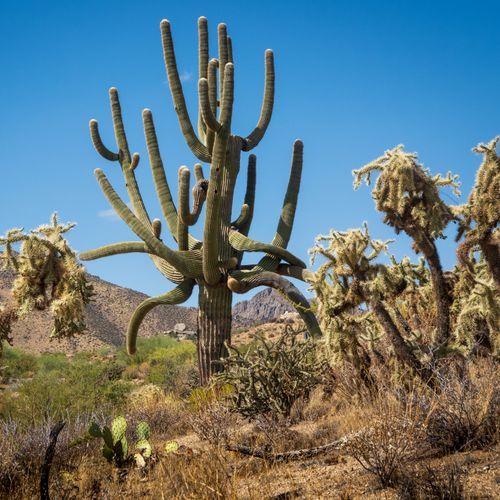
Day hikers who want something shorter can try the Mica View Trail. It runs past saguaros in many shapes and sizes and opens onto views of Mica Mountain, the highest peak in the park, and the Rincon Mountains. Roadrunners have also been spotted from the path.