Saguaro National Park guide · 1 min read
Hohokam Petroglyphs and Tohono O'odham Heritage
The Signal Hill Petroglyph Site sits just north of the Signal Hill picnic area in the Tucson Mountain District, the western section of Saguaro National Park, about 10 miles west of Tucson.
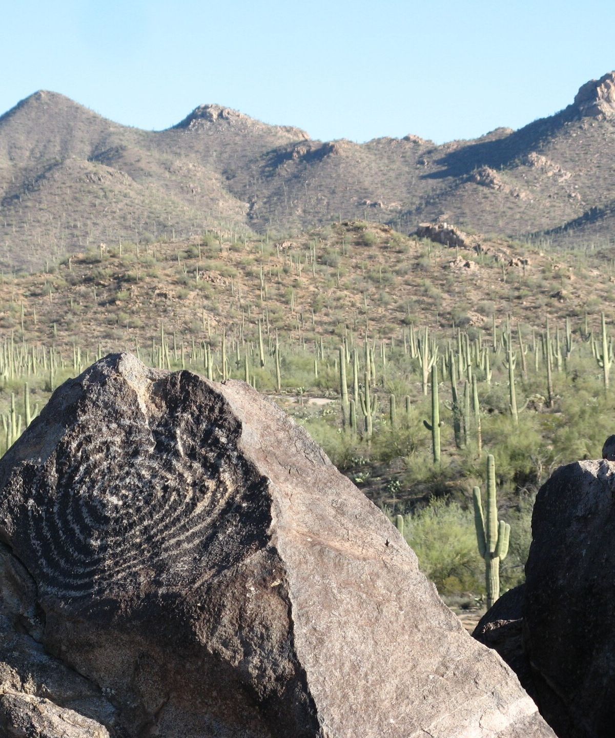
It is the largest petroglyph site in that district. The site occupies a small but distinct rocky hill, roughly 200 feet across at its base and 40 feet high. More than 200 prehistoric carvings cover it, and many can be seen from the visitor trail that climbs the hill.
The Hohokam were the first known people to live in villages here, from around the year 200 until 1450. They hunted deer and other game, harvested saguaro fruit, prickly pear, palo verde pods and cholla buds, and grew corn, beans and squash. The Signal Hill carvings date from roughly 550 to 1550 years ago, and a spiral design is one you can still see today.
Later groups in the area included the Sobaipuri of the Tucson Basin and the Tohono O'odham to the west. Both may descend from the Hohokam, though the evidence on that point is inconclusive.
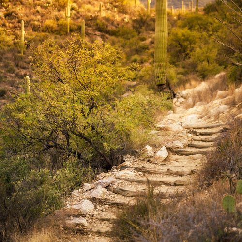
The Signal Hill Petroglyphs trail is a short hike of about half a mile round trip. It starts at the Signal Hill picnic area on Bajada Loop Drive and climbs to a viewpoint over the park, with rock art visible along the way and on the rocks at the top. Stay on the trail and look before you step. Keep hands and feet out of hidden spots under rocks, since rattlesnakes, Gila monsters and scorpions live in the area.
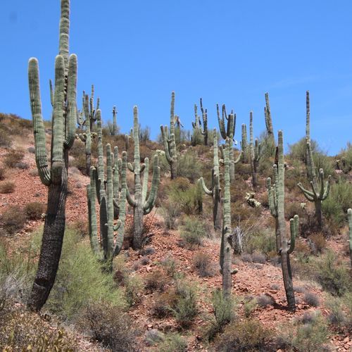
The Tucson Mountain District holds a denser population of cacti than the eastern section, and its views take in the Tucson Mountains and the cactus forest. Plan a stop at the picnic area before or after the hike.