
Saguaro National Park hiking guide
Sendero Esperanza Trail
A 5.3-mile out-and-back with 1,030 ft of climbing in Tucson Mountain District, rated moderate.
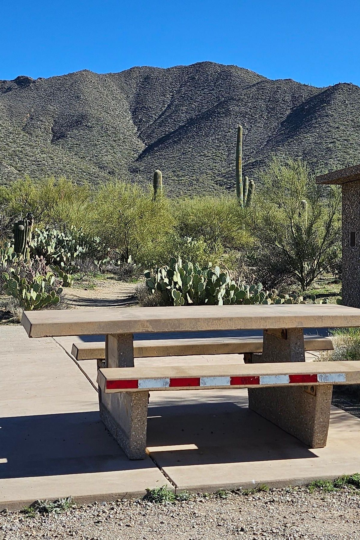
Key facts
- Length
- 5.3 mi (8.6 km)
- Elevation gain
- 1,030 ft (315 m)
- Route type
- Out and back
- Difficulty
- Moderate
- Area
- Tucson Mountain District
- Highest point
- 3,615 ft
- Lowest point
- 2,981 ft
- Horses
- Allowed
About Sendero Esperanza Trail
Saguaros and other desert plants line the early miles, and after a mostly flat start the trail climbs switchbacks to a rocky ridge with wide views over the valley. Hikers who keep going reach the Hugh Norris Trail junction and can continue toward Wasson Peak, the highest point on the park's west side. The route follows old mining roads, and the Red Hills and Amole Peak come into view from the top.
Route map
This route was checked by Parka editors.
