
Saguaro National Park hiking guide
Sweetwater Trail
An 8.9-mile out-and-back with 1,940 ft of climbing in Tucson Mountain District, rated difficult.
Key facts
- Length
- 8.9 mi (14.3 km)
- Elevation gain
- 1,940 ft (590 m)
- Route type
- Out and back
- Difficulty
- Difficult
- Area
- Tucson Mountain District
- Highest point
- 4,689 ft
- Lowest point
- 2,806 ft
- Horses
- Allowed
About Sweetwater Trail
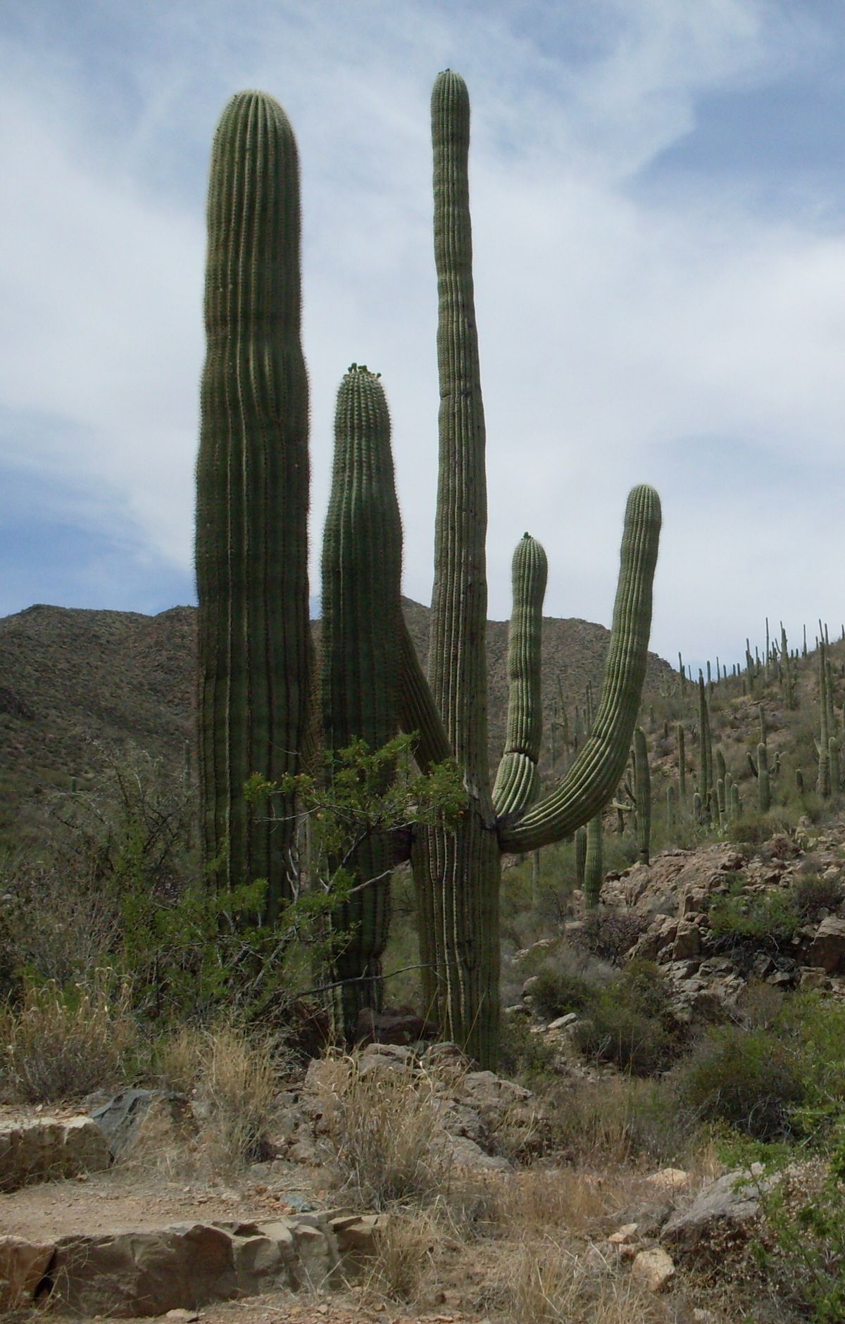
Winds through the rugged Tucson Mountains and offers panoramic views of the surrounding desert landscape. The trail is known for its abundant wildlife, including javelinas, coyotes, and a variety of bird species. Hikers can also expect to see a wide range of plant life, from the iconic saguaro cacti to ocotillo and cholla. The trail offers a unique opportunity to experience the beauty and diversity of the Sonoran Desert. It is particularly stunning in the spring when the desert is in bloom, and during the monsoon season when waterfalls can be seen cascading down the mountainsides.
Route map
This route was checked by Parka editors.
